179 Abby Ln Toccoa, GA 30577
Estimated Value: $236,901 - $279,000
3
Beds
2
Baths
1,578
Sq Ft
$163/Sq Ft
Est. Value
About This Home
This home is located at 179 Abby Ln, Toccoa, GA 30577 and is currently estimated at $256,975, approximately $162 per square foot. 179 Abby Ln is a home located in Stephens County with nearby schools including Stephens County High School.
Ownership History
Date
Name
Owned For
Owner Type
Purchase Details
Closed on
Jul 17, 2009
Sold by
Roush James
Bought by
Lee Angel M
Current Estimated Value
Home Financials for this Owner
Home Financials are based on the most recent Mortgage that was taken out on this home.
Original Mortgage
$102,040
Outstanding Balance
$66,255
Interest Rate
5.37%
Mortgage Type
New Conventional
Estimated Equity
$190,720
Purchase Details
Closed on
Mar 23, 2009
Sold by
Community Bank
Bought by
Roush James E
Home Financials for this Owner
Home Financials are based on the most recent Mortgage that was taken out on this home.
Original Mortgage
$61,200
Interest Rate
5.1%
Mortgage Type
New Conventional
Purchase Details
Closed on
Dec 2, 2008
Sold by
Not Provided
Bought by
Lee Angel M
Purchase Details
Closed on
Oct 16, 2001
Bought by
<Buyer Info Not Present>
Purchase Details
Closed on
Feb 1, 1997
Bought by
<Buyer Info Not Present>
Create a Home Valuation Report for This Property
The Home Valuation Report is an in-depth analysis detailing your home's value as well as a comparison with similar homes in the area
Purchase History
| Date | Buyer | Sale Price | Title Company |
|---|---|---|---|
| Lee Angel M | $109,000 | -- | |
| Roush James E | $68,000 | -- | |
| Lee Angel M | -- | -- | |
| Community Bank Trust | $86,415 | -- | |
| <Buyer Info Not Present> | $65,600 | -- | |
| <Buyer Info Not Present> | $69,000 | -- |
Source: Public Records
Mortgage History
| Date | Status | Borrower | Loan Amount |
|---|---|---|---|
| Open | Roush James E | $102,040 | |
| Previous Owner | Roush James E | $61,200 |
Source: Public Records
Tax History
| Year | Tax Paid | Tax Assessment Tax Assessment Total Assessment is a certain percentage of the fair market value that is determined by local assessors to be the total taxable value of land and additions on the property. | Land | Improvement |
|---|---|---|---|---|
| 2025 | $1,624 | $73,273 | $2,678 | $70,595 |
| 2024 | $1,444 | $49,407 | $2,678 | $46,729 |
| 2023 | $1,313 | $46,101 | $2,678 | $43,423 |
| 2022 | $1,241 | $43,675 | $2,678 | $40,997 |
| 2021 | $1,273 | $42,698 | $2,678 | $40,020 |
| 2020 | $1,265 | $42,042 | $2,678 | $39,364 |
| 2019 | $1,270 | $42,042 | $2,678 | $39,364 |
| 2018 | $1,270 | $42,042 | $2,678 | $39,364 |
| 2017 | $1,290 | $42,042 | $2,678 | $39,364 |
| 2016 | $1,270 | $42,042 | $2,678 | $39,364 |
| 2015 | $1,311 | $41,473 | $2,678 | $38,794 |
| 2014 | $1,329 | $41,358 | $2,678 | $38,680 |
| 2013 | -- | $41,894 | $3,214 | $38,680 |
Source: Public Records
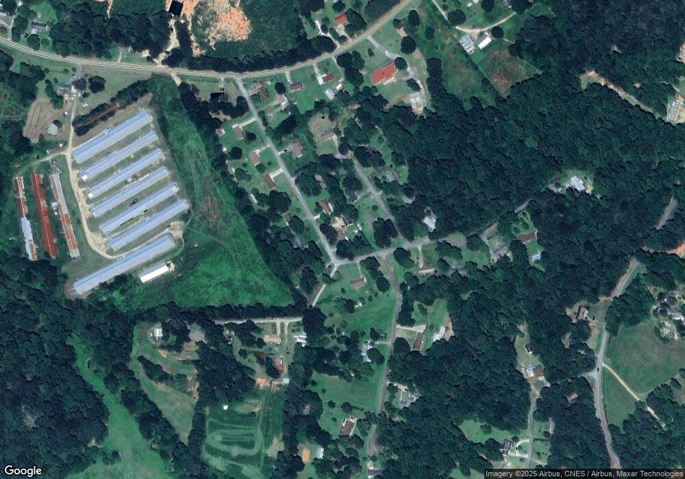
Map
Nearby Homes
- 46 Cedar Ridge Dr
- 513 S Red Rock Rd
- Lot 21 Deer Chase
- 535 Deer Chase
- 5.10 ACRES Hwy 123
- 7 Jottings Dr
- 451 Defoor Rd
- 668 Brookdale Rd
- 545 Shady Ln
- 3.35 ACRES Keener Rd
- 337 Rock Creek Rd
- 151 Rock Creek Rd
- 3877 Georgia 17
- 28 Memorial Dr
- 0 Brookhaven Cir Unit 10616964
- 5429 Highway 123
- 0 E Currahee St Unit 10544607
- 00 Meadowbrook Dr
- 297 Ayers Creek Dr
- 327 Ayers Creek Dr