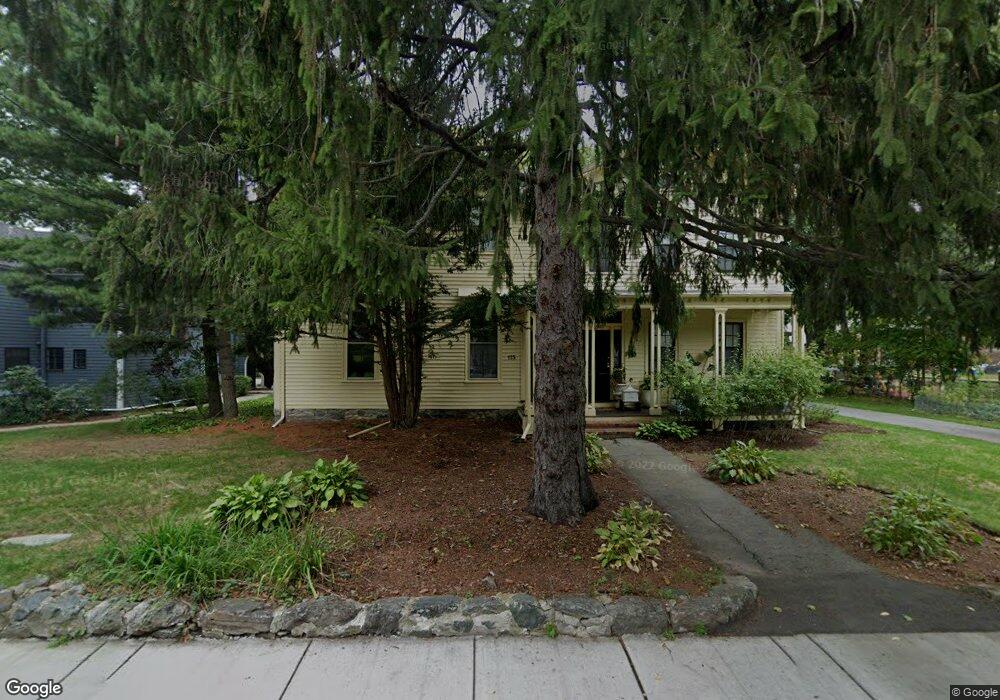
179 Auburn St Auburndale, MA 02466
Auburndale NeighborhoodEstimated Value: $762,000 - $835,900
3
Beds
3
Baths
1,238
Sq Ft
$646/Sq Ft
Est. Value
About This Home
This home is located at 179 Auburn St, Auburndale, MA 02466 and is currently estimated at $799,225, approximately $645 per square foot. 179 Auburn St is a home located in Middlesex County with nearby schools including Williams Elementary School, Charles E Brown Middle School, and Newton South High School.
Ownership History
Date
Name
Owned For
Owner Type
Purchase Details
Closed on
Jan 6, 2010
Sold by
Speroni Nancy J
Bought by
Rosario-Montero Maria
Current Estimated Value
Home Financials for this Owner
Home Financials are based on the most recent Mortgage that was taken out on this home.
Original Mortgage
$280,000
Outstanding Balance
$182,244
Interest Rate
4.78%
Mortgage Type
Purchase Money Mortgage
Estimated Equity
$616,981
Create a Home Valuation Report for This Property
The Home Valuation Report is an in-depth analysis detailing your home's value as well as a comparison with similar homes in the area
Home Values in the Area
Average Home Value in this Area
Purchase History
| Date | Buyer | Sale Price | Title Company |
|---|---|---|---|
| Rosario-Montero Maria | $420,000 | -- |
Source: Public Records
Mortgage History
| Date | Status | Borrower | Loan Amount |
|---|---|---|---|
| Open | Rosario-Montero Maria | $280,000 |
Source: Public Records
Tax History Compared to Growth
Tax History
| Year | Tax Paid | Tax Assessment Tax Assessment Total Assessment is a certain percentage of the fair market value that is determined by local assessors to be the total taxable value of land and additions on the property. | Land | Improvement |
|---|---|---|---|---|
| 2025 | $6,603 | $673,800 | $0 | $673,800 |
| 2024 | $6,385 | $654,200 | $0 | $654,200 |
| 2023 | $6,242 | $613,200 | $0 | $613,200 |
| 2022 | $6,144 | $584,000 | $0 | $584,000 |
| 2021 | $5,928 | $550,900 | $0 | $550,900 |
| 2020 | $5,751 | $550,900 | $0 | $550,900 |
| 2019 | $5,590 | $534,900 | $0 | $534,900 |
| 2018 | $5,573 | $515,100 | $0 | $515,100 |
| 2017 | $5,403 | $485,900 | $0 | $485,900 |
| 2016 | $5,168 | $454,100 | $0 | $454,100 |
| 2015 | $5,021 | $432,500 | $0 | $432,500 |
Source: Public Records
Map
Nearby Homes
- 226 Auburn St Unit 226
- 224 Auburn St Unit 224
- 224 Auburn St Unit A
- 13 Weir St
- 62-64 Rowe St Unit B
- 51 Bourne St
- 17 Gilbert St
- 1639 Washington St
- 17 Crescent St
- 283 Melrose St
- 283 Woodland Rd
- 10 Crescent St Unit 1
- 10 Crescent St Unit 2
- 0 Duncan Rd Unit 72925240
- 17 Lasell St
- 160 Pine St Unit 12
- 1754 Washington St
- 2202 Commonwealth Ave Unit 2
- 2202 Commonwealth Ave Unit 1
- 90 Auburndale Ave
- 181 Auburn St
- 175 Auburn St
- 173 Auburn St
- 173 Auburn St Unit 173
- 132 Rand Terrace
- 126 Rand Terrace
- 191 Auburn St
- 137 Rand Terrace
- 137 Rand Terrace Unit 1
- 135 Rand Terrace Unit 137
- 1900 Commonwealth Ave
- 197 Auburn St
- 194 Auburn St
- 194 Auburn St
- 194 Auburn St Unit 2
- 194 Auburn St Unit 1
- 122 Rand Terrace
- 195 Auburn St
- 195 Auburn St Unit 2
- 186 Auburn St