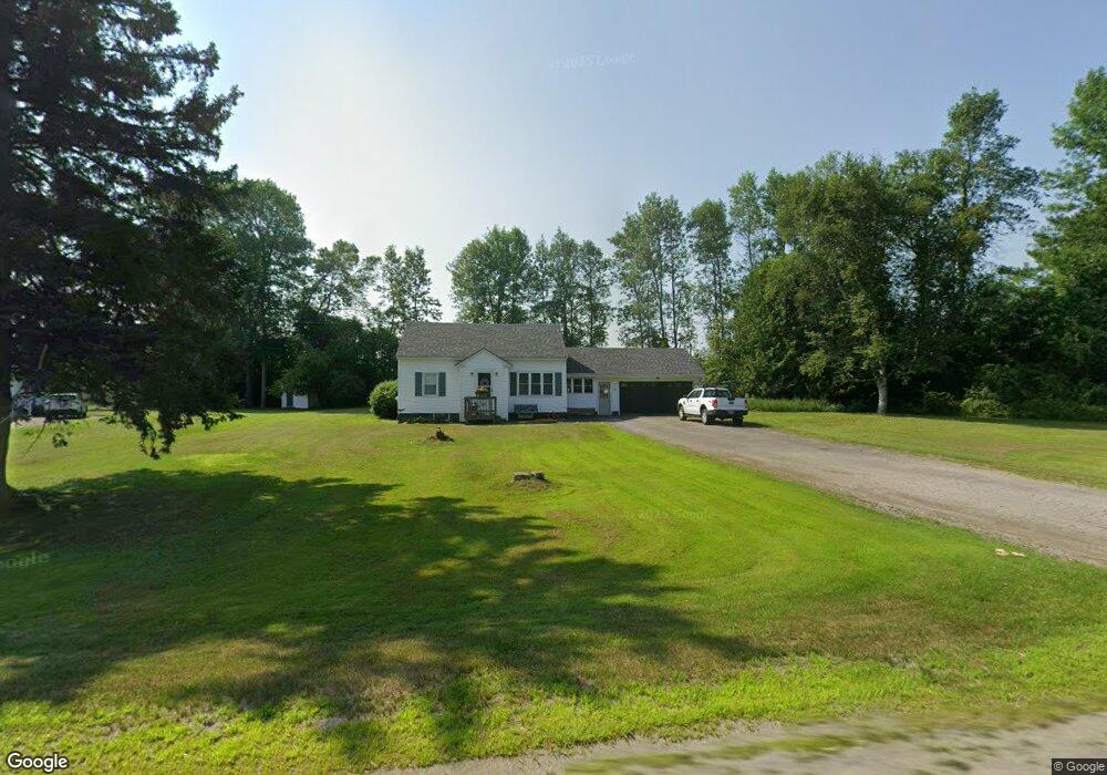
179 Clinton Ave Winslow, ME 04901
Estimated Value: $282,836 - $340,000
4
Beds
1
Bath
1,312
Sq Ft
$229/Sq Ft
Est. Value
About This Home
This home is located at 179 Clinton Ave, Winslow, ME 04901 and is currently estimated at $300,959, approximately $229 per square foot. 179 Clinton Ave is a home located in Kennebec County with nearby schools including Winslow Elementary School, Winslow Junior High School, and Winslow High School.
Ownership History
Date
Name
Owned For
Owner Type
Purchase Details
Closed on
May 2, 2008
Sold by
Beckerle Steven B and Beckerle Susan M
Bought by
Watrous Jason E and Watrous Jill E
Current Estimated Value
Home Financials for this Owner
Home Financials are based on the most recent Mortgage that was taken out on this home.
Original Mortgage
$117,159
Outstanding Balance
$74,622
Interest Rate
5.99%
Mortgage Type
FHA
Estimated Equity
$226,337
Create a Home Valuation Report for This Property
The Home Valuation Report is an in-depth analysis detailing your home's value as well as a comparison with similar homes in the area
Home Values in the Area
Average Home Value in this Area
Purchase History
| Date | Buyer | Sale Price | Title Company |
|---|---|---|---|
| Watrous Jason E | -- | -- |
Source: Public Records
Mortgage History
| Date | Status | Borrower | Loan Amount |
|---|---|---|---|
| Open | Watrous Jason E | $117,159 |
Source: Public Records
Tax History Compared to Growth
Tax History
| Year | Tax Paid | Tax Assessment Tax Assessment Total Assessment is a certain percentage of the fair market value that is determined by local assessors to be the total taxable value of land and additions on the property. | Land | Improvement |
|---|---|---|---|---|
| 2024 | $3,284 | $218,900 | $28,900 | $190,000 |
| 2023 | $3,284 | $218,900 | $28,900 | $190,000 |
| 2022 | $2,633 | $124,200 | $23,000 | $101,200 |
| 2021 | $2,624 | $129,900 | $23,000 | $106,900 |
| 2020 | $2,445 | $129,900 | $23,000 | $106,900 |
| 2019 | $2,421 | $129,900 | $23,000 | $106,900 |
| 2018 | $2,330 | $129,900 | $23,000 | $106,900 |
| 2017 | $6,115 | $129,900 | $23,000 | $106,900 |
| 2016 | $5,894 | $129,900 | $23,000 | $106,900 |
| 2015 | $2,013 | $129,900 | $23,000 | $106,900 |
| 2014 | $2,013 | $129,900 | $23,000 | $106,900 |
Source: Public Records
Map
Nearby Homes
- 158 Clinton Ave
- 144 Clinton Ave
- 4 Marcoux St
- 5 Mar Val Terrace Unit D7
- 14 Fuller Dr
- 11 Poulin St
- 12 Whipple St
- 486 Garland Rd
- 31 Whipple St
- 3 Baker St
- 85 Halifax St
- 73 Halifax St
- 75 Halifax St Unit 31
- 23 N Garand St
- 10 Victor Terrace
- 29 Halifax St
- 29 Bellevue St
- 0 Olde Heritage Map 10 Lot 77-3 Place Unit 1628289
- 128 Benton Ave
- 501 Clinton Ave
- 189 Clinton Ave
- 190 Clinton Ave
- 210 Clinton Ave
- 174 Clinton Ave
- 170 Clinton Ave
- 230 Clinton Ave
- 229 Clinton Ave
- 137 Halifax St
- 168 Clinton Ave
- 235 Clinton Ave
- 225 Clinton Ave
- 234 Clinton Ave
- 184 Clinton Ave
- 237 Clinton Ave
- 238 Clinton Ave
- 9 Newcombe Dr
- 9 Newcomb Dr
- 11 Newcomb Dr
- 7 Newcomb Dr
- 5 Newcomb Dr