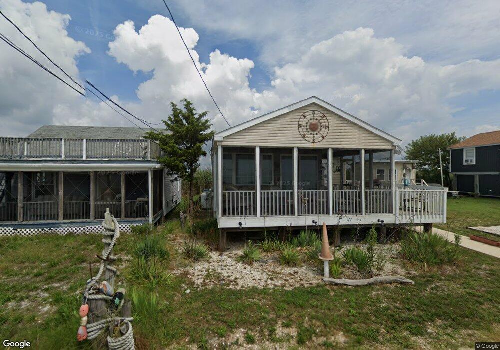
179 Cove Rd Newport, NJ 08345
Estimated Value: $293,000 - $482,000
--
Bed
--
Bath
962
Sq Ft
$383/Sq Ft
Est. Value
About This Home
This home is located at 179 Cove Rd, Newport, NJ 08345 and is currently estimated at $368,655, approximately $383 per square foot. 179 Cove Rd is a home located in Cumberland County with nearby schools including Downe Township Elementary School.
Ownership History
Date
Name
Owned For
Owner Type
Purchase Details
Closed on
Feb 2, 2024
Sold by
Cerio Daniel F
Bought by
Ahern Rory R
Current Estimated Value
Home Financials for this Owner
Home Financials are based on the most recent Mortgage that was taken out on this home.
Original Mortgage
$100,000
Outstanding Balance
$98,233
Interest Rate
6.61%
Mortgage Type
Seller Take Back
Estimated Equity
$270,422
Purchase Details
Closed on
Feb 6, 2017
Sold by
Basile Daniel and Estate Of Ronald P Basile
Bought by
Basile Ronald
Purchase Details
Closed on
Aug 31, 1999
Sold by
Borrelli Joanne
Bought by
Cerio Daniel F
Create a Home Valuation Report for This Property
The Home Valuation Report is an in-depth analysis detailing your home's value as well as a comparison with similar homes in the area
Home Values in the Area
Average Home Value in this Area
Purchase History
| Date | Buyer | Sale Price | Title Company |
|---|---|---|---|
| Ahern Rory R | $100,000 | None Listed On Document | |
| Ahern Rory R | $100,000 | None Listed On Document | |
| Basile Ronald | -- | None Available | |
| Cerio Daniel F | $75,000 | -- |
Source: Public Records
Mortgage History
| Date | Status | Borrower | Loan Amount |
|---|---|---|---|
| Open | Ahern Rory R | $100,000 | |
| Closed | Ahern Rory R | $100,000 |
Source: Public Records
Tax History Compared to Growth
Tax History
| Year | Tax Paid | Tax Assessment Tax Assessment Total Assessment is a certain percentage of the fair market value that is determined by local assessors to be the total taxable value of land and additions on the property. | Land | Improvement |
|---|---|---|---|---|
| 2025 | $5,924 | $205,400 | $150,000 | $55,400 |
| 2024 | $5,924 | $205,400 | $150,000 | $55,400 |
| 2023 | $6,454 | $245,400 | $190,000 | $55,400 |
| 2022 | $5,990 | $245,400 | $190,000 | $55,400 |
| 2021 | $5,990 | $245,400 | $190,000 | $55,400 |
| 2020 | $5,902 | $245,400 | $190,000 | $55,400 |
| 2019 | $5,804 | $245,400 | $190,000 | $55,400 |
| 2018 | $5,880 | $245,400 | $190,000 | $55,400 |
| 2017 | $5,647 | $245,400 | $190,000 | $55,400 |
| 2016 | $5,642 | $245,400 | $190,000 | $55,400 |
| 2015 | $5,291 | $245,400 | $190,000 | $55,400 |
| 2014 | $4,901 | $245,400 | $190,000 | $55,400 |
Source: Public Records
Map
Nearby Homes
- 167 Cove Rd
- 510 Bay Point Rd
- 91 Landis Ave
- 184 Landing Rd
- 281 Fortescue Rd
- 13 Hall St
- 94 Delaware Ave
- 116 Delaware Ave
- 102 Garrison Ave
- 114 Delaware Ave
- 12 Lores Ln
- 184 New Jersey Ave
- 873 875 Downe Ave
- 7 Princeton Ave
- 18 Vassar Ave
- 212 New Jersey Ave
- 21 Vassar Ave
- 870 Downe Ave
- 205 Pennsylvania Ave
- 860 Downe Ave