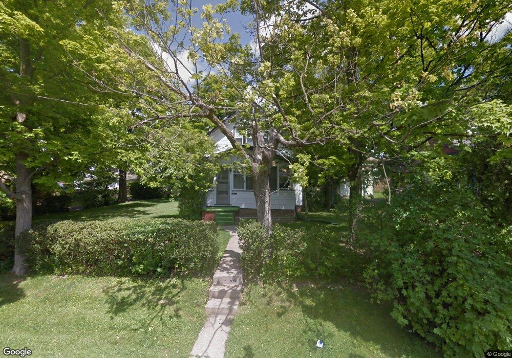
179 Dawson Ave Mansfield, OH 44906
Estimated Value: $83,000 - $183,000
--
Bed
--
Bath
--
Sq Ft
6,708
Sq Ft Lot
About This Home
This home is located at 179 Dawson Ave, Mansfield, OH 44906 and is currently estimated at $119,968. 179 Dawson Ave is a home located in Richland County with nearby schools including Goal Digital Academy, Discovery School, and St. Peter's High School/Junior High.
Ownership History
Date
Name
Owned For
Owner Type
Purchase Details
Closed on
May 7, 2004
Sold by
Lomax Ralph O and Lomax Patricia
Bought by
Greathouse Michael and Greathouse Kathleen
Current Estimated Value
Home Financials for this Owner
Home Financials are based on the most recent Mortgage that was taken out on this home.
Original Mortgage
$51,592
Outstanding Balance
$24,189
Interest Rate
5.5%
Mortgage Type
FHA
Estimated Equity
$95,779
Purchase Details
Closed on
Dec 17, 1999
Sold by
William B Jessop Trust
Bought by
Lomax Ralph O
Purchase Details
Closed on
Mar 16, 1992
Sold by
Jessop William B
Bought by
Jessop William B
Create a Home Valuation Report for This Property
The Home Valuation Report is an in-depth analysis detailing your home's value as well as a comparison with similar homes in the area
Home Values in the Area
Average Home Value in this Area
Purchase History
| Date | Buyer | Sale Price | Title Company |
|---|---|---|---|
| Greathouse Michael | $52,000 | -- | |
| Lomax Ralph O | $45,000 | -- | |
| Jessop William B | -- | -- |
Source: Public Records
Mortgage History
| Date | Status | Borrower | Loan Amount |
|---|---|---|---|
| Open | Greathouse Michael | $51,592 |
Source: Public Records
Tax History Compared to Growth
Tax History
| Year | Tax Paid | Tax Assessment Tax Assessment Total Assessment is a certain percentage of the fair market value that is determined by local assessors to be the total taxable value of land and additions on the property. | Land | Improvement |
|---|---|---|---|---|
| 2024 | $188 | $3,930 | $2,740 | $1,190 |
| 2023 | $188 | $3,930 | $2,740 | $1,190 |
| 2022 | $202 | $3,540 | $2,350 | $1,190 |
| 2021 | $204 | $3,540 | $2,350 | $1,190 |
| 2020 | $208 | $3,540 | $2,350 | $1,190 |
| 2019 | $231 | $3,540 | $2,350 | $1,190 |
| 2018 | $228 | $3,540 | $2,350 | $1,190 |
| 2017 | $222 | $3,540 | $2,350 | $1,190 |
| 2016 | $282 | $4,370 | $3,240 | $1,130 |
| 2015 | $270 | $4,370 | $3,240 | $1,130 |
| 2014 | $266 | $4,370 | $3,240 | $1,130 |
| 2012 | $107 | $4,600 | $3,410 | $1,190 |
Source: Public Records
Map
Nearby Homes
- 126 Dawson Ave
- 88 Sherman Ave
- 71 Glenwood Blvd
- 76 Bartley Ave
- 118 Parkwood Blvd
- 114 Vennum Ave
- 24 Stewart Ave S
- 41 Parkwood Blvd
- 21 Glenwood Blvd
- 38 Baldwin Ave
- 37 Baldwin Ave
- 118 Lind Ave
- 679 Coleman Rd
- 709 Coleman Rd
- 143 Fairlawn Ave
- 135 Fairlawn Ave
- 129 Fairlawn Ave
- 191 Fairlawn Ave
- 201 Fairlawn Ave
- 135 Wood St