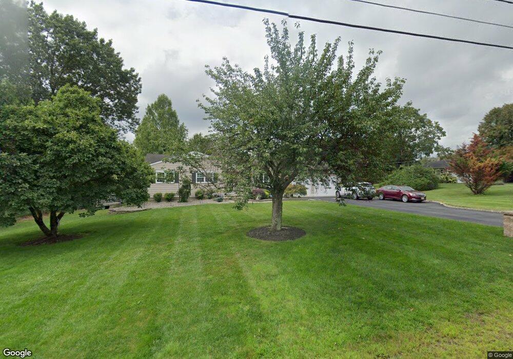
179 Dead Tree Run Rd Belle Mead, NJ 08502
Estimated Value: $577,000 - $714,000
--
Bed
--
Bath
1,580
Sq Ft
$403/Sq Ft
Est. Value
About This Home
This home is located at 179 Dead Tree Run Rd, Belle Mead, NJ 08502 and is currently estimated at $636,375, approximately $402 per square foot. 179 Dead Tree Run Rd is a home located in Somerset County with nearby schools including Orchard Hill Elementary School, Montgomery Lower Mid School, and Village Elementary School.
Ownership History
Date
Name
Owned For
Owner Type
Purchase Details
Closed on
Nov 20, 1997
Sold by
Bohan Patrick
Bought by
Nagy Darin and Pustay Deena
Current Estimated Value
Home Financials for this Owner
Home Financials are based on the most recent Mortgage that was taken out on this home.
Original Mortgage
$165,000
Outstanding Balance
$27,079
Interest Rate
7.28%
Estimated Equity
$609,296
Purchase Details
Closed on
Aug 25, 1993
Sold by
Grosso Richard
Bought by
Bohan Patrick and Bohan Catherine
Home Financials for this Owner
Home Financials are based on the most recent Mortgage that was taken out on this home.
Original Mortgage
$203,000
Interest Rate
7.1%
Purchase Details
Closed on
May 24, 1989
Sold by
R & S Colonial Builders Inc
Bought by
Grosso Richard M
Purchase Details
Closed on
Apr 21, 1989
Sold by
Onka Thomas J and Onka Carol E
Bought by
R & S Colonial Builders Inc
Create a Home Valuation Report for This Property
The Home Valuation Report is an in-depth analysis detailing your home's value as well as a comparison with similar homes in the area
Home Values in the Area
Average Home Value in this Area
Purchase History
| Date | Buyer | Sale Price | Title Company |
|---|---|---|---|
| Nagy Darin | $215,000 | -- | |
| Bohan Patrick | $230,000 | -- | |
| Grosso Richard M | $215,000 | -- | |
| R & S Colonial Builders Inc | $215,000 | -- |
Source: Public Records
Mortgage History
| Date | Status | Borrower | Loan Amount |
|---|---|---|---|
| Open | Nagy Darin | $165,000 | |
| Previous Owner | Bohan Patrick | $203,000 |
Source: Public Records
Tax History Compared to Growth
Tax History
| Year | Tax Paid | Tax Assessment Tax Assessment Total Assessment is a certain percentage of the fair market value that is determined by local assessors to be the total taxable value of land and additions on the property. | Land | Improvement |
|---|---|---|---|---|
| 2025 | $12,481 | $364,300 | $233,000 | $131,300 |
| 2024 | $12,481 | $364,300 | $233,000 | $131,300 |
| 2023 | $12,470 | $364,300 | $233,000 | $131,300 |
| 2022 | $11,738 | $364,300 | $233,000 | $131,300 |
| 2021 | $11,639 | $364,300 | $233,000 | $131,300 |
| 2020 | $11,545 | $364,300 | $233,000 | $131,300 |
| 2019 | $11,468 | $364,300 | $233,000 | $131,300 |
| 2018 | $11,202 | $364,300 | $233,000 | $131,300 |
| 2017 | $11,009 | $364,300 | $233,000 | $131,300 |
| 2016 | $10,816 | $364,300 | $233,000 | $131,300 |
| 2015 | $10,568 | $364,300 | $233,000 | $131,300 |
| 2014 | $10,441 | $364,300 | $233,000 | $131,300 |
Source: Public Records
Map
Nearby Homes
- 167 Dead Tree Run Rd
- 43 Dead Tree Run Rd
- 38 Van Doren Way
- 1723 Us Highway 206
- 59 Montgomery Rd
- 79 Green Ave
- 87 Meadow Lark Ln
- 18 Oxford Cir
- 11 Cortland Place
- 74 Harlingen Rd
- 11 Briar Hill Ct
- 161 Grayson Dr
- 28 Bedford Dr
- 110 Village Dr
- 108 Village Dr
- 112 Village Dr
- 106 Village Dr
- 21 Harlingen Rd
- 93 Mosher Rd
- 2 Washington St
- 185 Dead Tree Run Rd
- 173 Dead Tree Run Rd
- 191 Dead Tree Run Rd
- 159 Dead Tree Run Rd
- 199 Dead Tree Run Rd
- 16 Summit Rd
- 22 Summit Rd
- 153 Dead Tree Run Rd
- 30 Summit Rd
- 207 Dead Tree Run Rd
- 147 Dead Tree Run Rd
- 36 Summit Rd
- 2 Carsdale Ct
- 215 Dead Tree Run Rd
- 27 Summit Rd
- 38 Summit Rd
- 141 Dead Tree Run Rd
- 221 Dead Tree Run Rd
- 16 Carsdale Ct
- 16 Carsdale Dr