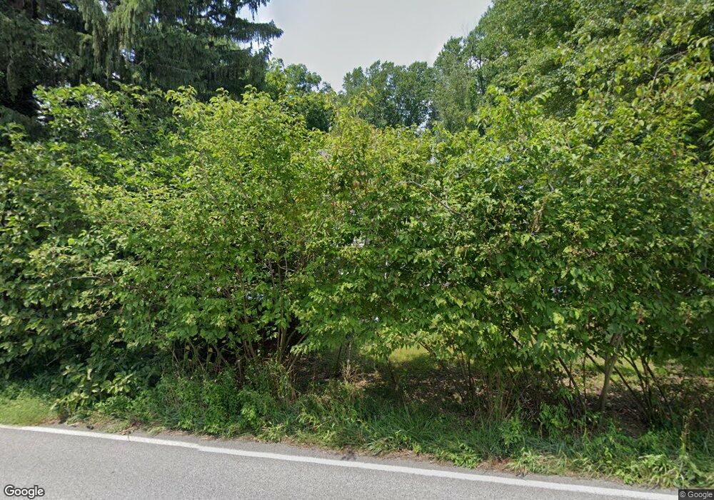
179 Dilworthtown Rd Thornton, PA 19373
Estimated Value: $442,735 - $646,000
2
Beds
1
Bath
1,591
Sq Ft
$342/Sq Ft
Est. Value
About This Home
This home is located at 179 Dilworthtown Rd, Thornton, PA 19373 and is currently estimated at $543,912, approximately $341 per square foot. 179 Dilworthtown Rd is a home located in Delaware County with nearby schools including Westtown-Thornbury Elementary School, Stetson Middle School, and Bayard Rustin High School.
Ownership History
Date
Name
Owned For
Owner Type
Purchase Details
Closed on
Oct 18, 2007
Sold by
Estate Of Andrew W Graham Sr
Bought by
Moyer David
Current Estimated Value
Home Financials for this Owner
Home Financials are based on the most recent Mortgage that was taken out on this home.
Original Mortgage
$215,000
Outstanding Balance
$136,045
Interest Rate
6.47%
Mortgage Type
Purchase Money Mortgage
Estimated Equity
$407,867
Create a Home Valuation Report for This Property
The Home Valuation Report is an in-depth analysis detailing your home's value as well as a comparison with similar homes in the area
Home Values in the Area
Average Home Value in this Area
Purchase History
| Date | Buyer | Sale Price | Title Company |
|---|---|---|---|
| Moyer David | $215,000 | The Security Title Guarantee |
Source: Public Records
Mortgage History
| Date | Status | Borrower | Loan Amount |
|---|---|---|---|
| Open | Moyer David | $215,000 |
Source: Public Records
Tax History Compared to Growth
Tax History
| Year | Tax Paid | Tax Assessment Tax Assessment Total Assessment is a certain percentage of the fair market value that is determined by local assessors to be the total taxable value of land and additions on the property. | Land | Improvement |
|---|---|---|---|---|
| 2025 | $3,358 | $256,480 | $125,660 | $130,820 |
| 2024 | $3,358 | $256,480 | $125,660 | $130,820 |
| 2023 | $3,317 | $256,480 | $125,660 | $130,820 |
| 2022 | $3,210 | $256,480 | $125,660 | $130,820 |
| 2021 | $5,043 | $256,480 | $125,660 | $130,820 |
| 2020 | $2,464 | $113,450 | $66,750 | $46,700 |
| 2019 | $2,443 | $113,450 | $66,750 | $46,700 |
| 2018 | $2,361 | $113,450 | $0 | $0 |
| 2017 | $2,304 | $113,450 | $0 | $0 |
| 2016 | $623 | $113,450 | $0 | $0 |
| 2015 | $623 | $113,450 | $0 | $0 |
| 2014 | $623 | $113,450 | $0 | $0 |
Source: Public Records
Map
Nearby Homes
- 14 Stoneridge Rd
- 111 Mill Rd
- 403 Brinton Lake Rd
- 186 Dilworthtown Rd
- 6 David Dr
- 17 Judith Ln
- 5 Derry Dr
- 9 W Branch Ln
- 12 Cherry Farm Ln
- 530 Woodhaven Rd
- 615 Cricklewood Rd
- 515 Timberline Trail
- 257 Glen Mills Rd Unit C
- 257 Glen Mills Rd
- 257 Glen Mills Rd Unit B
- 250 Glen Mills Rd
- 255 Glen Mills Rd
- Lot 3 149 Governor Markham Cheslen
- 36 Old Barn Dr
- 56 Old Barn Dr
- 396 Glen Mills Rd
- 13 Timber Ln
- 15 Timber Ln
- 414 Glen Mills Rd
- 392 Glen Mills Rd
- 404 Glen Mills Rd
- 21 Timber Ln
- 5 Timber Ln
- 12 Timber Ln
- 207 AC Ironstone Ln
- 0 Glen Mills Rd Unit 5519399
- D Millview Ct
- CS Ironstone Ln
- 000 Glen Mills Rd
- C Millview Ct
- A Millview Ct
- B Millview Ct
- 16 Timber Ln
- 25 Timber Ln
- 10 Dinenno Dr
