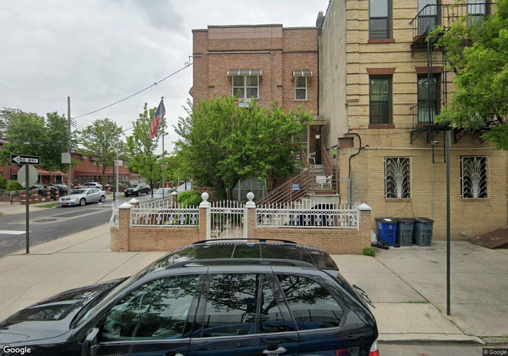
179 Dumont Ave Brooklyn, NY 11212
Brownsville NeighborhoodEstimated Value: $761,000 - $989,000
--
Bed
--
Bath
2,846
Sq Ft
$317/Sq Ft
Est. Value
About This Home
This home is located at 179 Dumont Ave, Brooklyn, NY 11212 and is currently estimated at $902,336, approximately $317 per square foot. 179 Dumont Ave is a home located in Kings County with nearby schools including P.S. 156 Waverly, P.S. 165 Ida Posner, and P.S. 150 - Christopher.
Ownership History
Date
Name
Owned For
Owner Type
Purchase Details
Closed on
Oct 20, 2005
Sold by
Brownsville Development Llc
Bought by
Payne Frederick
Current Estimated Value
Home Financials for this Owner
Home Financials are based on the most recent Mortgage that was taken out on this home.
Original Mortgage
$8,000
Outstanding Balance
$4,306
Interest Rate
5.85%
Mortgage Type
Purchase Money Mortgage
Estimated Equity
$898,030
Create a Home Valuation Report for This Property
The Home Valuation Report is an in-depth analysis detailing your home's value as well as a comparison with similar homes in the area
Home Values in the Area
Average Home Value in this Area
Purchase History
| Date | Buyer | Sale Price | Title Company |
|---|---|---|---|
| Payne Frederick | $360,000 | -- | |
| Payne Frederick | $360,000 | -- |
Source: Public Records
Mortgage History
| Date | Status | Borrower | Loan Amount |
|---|---|---|---|
| Open | Payne Frederick | $8,000 | |
| Closed | Payne Frederick | $8,000 | |
| Closed | Payne Frederick | $353,000 |
Source: Public Records
Tax History Compared to Growth
Tax History
| Year | Tax Paid | Tax Assessment Tax Assessment Total Assessment is a certain percentage of the fair market value that is determined by local assessors to be the total taxable value of land and additions on the property. | Land | Improvement |
|---|---|---|---|---|
| 2025 | $7,008 | $53,640 | $19,920 | $33,720 |
| 2024 | $7,008 | $54,180 | $19,920 | $34,260 |
| 2023 | $6,085 | $66,480 | $19,920 | $46,560 |
| 2022 | $5,332 | $54,420 | $19,920 | $34,500 |
| 2021 | $5,387 | $46,260 | $19,920 | $26,340 |
| 2020 | $2,541 | $42,060 | $19,920 | $22,140 |
| 2019 | $4,511 | $38,640 | $19,920 | $18,720 |
| 2018 | $3,661 | $31,609 | $14,547 | $17,062 |
| 2017 | $2,949 | $29,820 | $12,758 | $17,062 |
| 2016 | $2,550 | $31,354 | $12,758 | $18,596 |
| 2015 | $1,090 | $29,580 | $10,984 | $18,596 |
| 2014 | $1,090 | $28,174 | $9,578 | $18,596 |
Source: Public Records
Map
Nearby Homes
- 256 Herzl St
- 600 Thomas S Boyland St
- 2041 Strauss St
- 2029 Strauss St
- 2044 Strauss St
- 687 Saratoga Ave
- 675 Saratoga Ave
- 671 Saratoga Ave
- 637 Saratoga Ave
- 548 Rockaway Ave
- 341 Herzl St
- 345 Herzl St
- 363 Amboy St
- 205 Legion St
- 124 Herzl St
- 764 Saratoga Ave
- 2148 Strauss St Unit 1
- 385 Amboy St
- 267 Legion St
- 589 Saratoga Ave