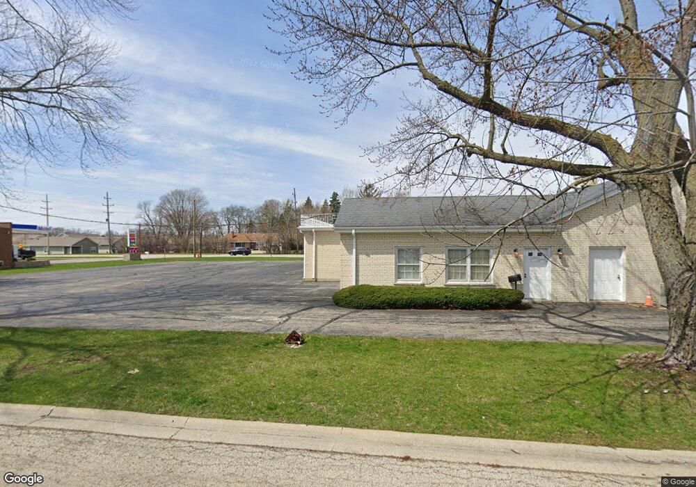
179 Dunbar Ln Unit 41 East Dundee, IL 60118
Estimated Value: $203,000 - $261,000
2
Beds
--
Bath
1,205
Sq Ft
$193/Sq Ft
Est. Value
About This Home
This home is located at 179 Dunbar Ln Unit 41, East Dundee, IL 60118 and is currently estimated at $232,300, approximately $192 per square foot. 179 Dunbar Ln Unit 41 is a home located in Kane County with nearby schools including Parkview Elementary School, Crescent City Grade School, and Carpentersville Middle School.
Ownership History
Date
Name
Owned For
Owner Type
Purchase Details
Closed on
Jul 26, 1994
Sold by
Bethell James R
Bought by
Degroot John F and Degroot Patricia
Current Estimated Value
Home Financials for this Owner
Home Financials are based on the most recent Mortgage that was taken out on this home.
Original Mortgage
$86,400
Interest Rate
8.62%
Mortgage Type
Fannie Mae Freddie Mac
Create a Home Valuation Report for This Property
The Home Valuation Report is an in-depth analysis detailing your home's value as well as a comparison with similar homes in the area
Home Values in the Area
Average Home Value in this Area
Purchase History
| Date | Buyer | Sale Price | Title Company |
|---|---|---|---|
| Degroot John F | $108,000 | -- |
Source: Public Records
Mortgage History
| Date | Status | Borrower | Loan Amount |
|---|---|---|---|
| Closed | Degroot John F | $86,400 |
Source: Public Records
Tax History Compared to Growth
Tax History
| Year | Tax Paid | Tax Assessment Tax Assessment Total Assessment is a certain percentage of the fair market value that is determined by local assessors to be the total taxable value of land and additions on the property. | Land | Improvement |
|---|---|---|---|---|
| 2024 | $4,377 | $71,624 | $8,371 | $63,253 |
| 2023 | $4,026 | $64,445 | $7,532 | $56,913 |
| 2022 | $3,691 | $54,047 | $7,532 | $46,515 |
| 2021 | $3,506 | $51,031 | $7,112 | $43,919 |
| 2020 | $3,410 | $49,884 | $6,952 | $42,932 |
| 2019 | $3,291 | $47,356 | $6,600 | $40,756 |
| 2018 | $2,748 | $40,434 | $6,469 | $33,965 |
| 2017 | $2,151 | $33,602 | $6,051 | $27,551 |
| 2016 | $2,176 | $32,535 | $5,859 | $26,676 |
| 2015 | -- | $30,486 | $5,490 | $24,996 |
| 2014 | -- | $29,644 | $5,338 | $24,306 |
| 2013 | -- | $30,551 | $5,501 | $25,050 |
Source: Public Records
Map
Nearby Homes
- 174 Dunbar Ln
- 827 Balmoral Dr
- 152 King Ave
- 605 Barrington Ave Unit 350
- 605 Barrington Ave Unit 140
- 605 Barrington Ave Unit 216
- 519 Oak Dr
- 710 Timothy Ct Unit 221
- 222 Harrison St
- 431 Dunridge Ct Unit 12B
- 436 Barrington Ave
- 730 Council Hill Rd
- Lot 6B Ravine Rd
- Lot 6A Ravine Rd
- Lot 6 Ravine Rd
- 512 Tyler Dr
- 510 Tyler Dr
- Lot 1 View St
- 112 Liberty St
- 7 King William St
- 184 Dunbar Ln Unit 32
- 183 Dunbar Ln Unit 33
- 171 Dunbar Ln Unit 45
- 178 Dunbar Ln Unit 25
- 182 Dunbar Ln Unit 31
- 172 Dunbar Ln Unit 22
- 180 Dunbar Ln
- 175 Dunbar Ln Unit 43
- 181 Dunbar Ln Unit 34
- 176 Dunbar Ln Unit 24
- 177 Dunbar Ln Unit 42
- 166 Dunbar Ln
- 173 Dunbar Ln
- 170 Dunbar Ln
- 168 Dunbar Ln
- 164 Dunbar Ln Unit 11
- 214 Dundee Ave
- 212-214 South St
- 164 Dundee Ave
- 806 Bannock Rd