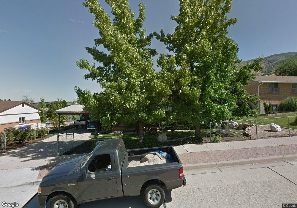
179 E 1200 N Centerville, UT 84014
Estimated Value: $518,181 - $534,000
3
Beds
2
Baths
2,228
Sq Ft
$237/Sq Ft
Est. Value
About This Home
This home is located at 179 E 1200 N, Centerville, UT 84014 and is currently estimated at $527,045, approximately $236 per square foot. 179 E 1200 N is a home located in Davis County with nearby schools including Stewart Elementary School, Centerville Jr High, and Viewmont High School.
Ownership History
Date
Name
Owned For
Owner Type
Purchase Details
Closed on
Mar 2, 2021
Sold by
Denis Nicholas Pol and Denid Nicholas Paul
Bought by
Denis Nicholas Pol
Current Estimated Value
Home Financials for this Owner
Home Financials are based on the most recent Mortgage that was taken out on this home.
Original Mortgage
$286,200
Outstanding Balance
$255,974
Interest Rate
2.7%
Mortgage Type
New Conventional
Estimated Equity
$271,071
Purchase Details
Closed on
Mar 16, 2020
Sold by
Lake Joseph Daniel and Lake Bailey L
Bought by
Denis Nicholas Paul
Home Financials for this Owner
Home Financials are based on the most recent Mortgage that was taken out on this home.
Original Mortgage
$288,000
Interest Rate
3.4%
Mortgage Type
New Conventional
Purchase Details
Closed on
Sep 18, 2000
Sold by
Brines Carl W and Brines Alma M
Bought by
Brines Carl W and Brines Alma M
Create a Home Valuation Report for This Property
The Home Valuation Report is an in-depth analysis detailing your home's value as well as a comparison with similar homes in the area
Purchase History
| Date | Buyer | Sale Price | Title Company |
|---|---|---|---|
| Denis Nicholas Pol | -- | North American Title | |
| Denis Nicholas Paul | -- | Title Guarantee Layton | |
| Brines Carl W | -- | -- |
Source: Public Records
Mortgage History
| Date | Status | Borrower | Loan Amount |
|---|---|---|---|
| Open | Denis Nicholas Pol | $286,200 | |
| Closed | Denis Nicholas Paul | $288,000 |
Source: Public Records
Tax History
| Year | Tax Paid | Tax Assessment Tax Assessment Total Assessment is a certain percentage of the fair market value that is determined by local assessors to be the total taxable value of land and additions on the property. | Land | Improvement |
|---|---|---|---|---|
| 2025 | $2,725 | $260,700 | $162,074 | $98,626 |
| 2024 | $2,697 | $262,350 | $145,372 | $116,978 |
| 2023 | $2,571 | $452,000 | $238,855 | $213,145 |
| 2022 | $2,704 | $261,800 | $120,528 | $141,272 |
| 2021 | $2,434 | $367,000 | $183,448 | $183,552 |
| 2020 | $2,089 | $315,000 | $179,462 | $135,538 |
| 2019 | $2,021 | $285,000 | $180,864 | $104,136 |
| 2018 | $1,801 | $262,000 | $167,879 | $94,121 |
| 2016 | $1,516 | $122,540 | $55,738 | $66,802 |
| 2015 | $1,469 | $112,035 | $55,738 | $56,297 |
| 2014 | $1,302 | $101,617 | $55,738 | $45,879 |
| 2013 | -- | $106,844 | $44,204 | $62,640 |
Source: Public Records
Map
Nearby Homes
- 1366 Cottonwood Dr
- 1290 Oakridge Dr
- 984 N 500 E
- 145 Ford Canyon Dr
- 66 Brookside Ln
- 290 W 1350 N
- 775 Pheasantbrook Cir
- 271 Brookfield Ln
- 371 W 1125 N
- 1238 N 450 W
- 781 Pheasantbrook Dr
- 292 W 680 N
- 563 N 220 E
- 281 W 650 N Unit B
- 303 W 650 N Unit I
- 282 W 605 N Unit A
- 282 W 605 N Unit I
- 1549 N 400 W
- 732 W 1175 N
- 1171 N 725 W
Your Personal Tour Guide
Ask me questions while you tour the home.