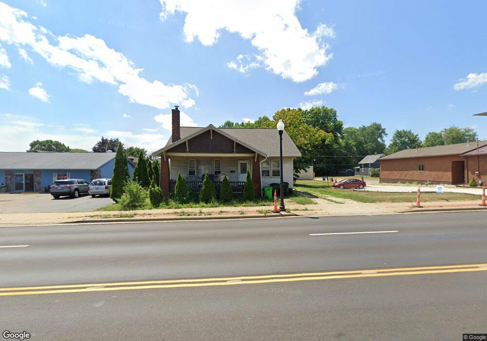
179 E State St Alliance, OH 44601
Estimated Value: $140,000 - $177,000
3
Beds
1
Bath
1,938
Sq Ft
$81/Sq Ft
Est. Value
About This Home
This home is located at 179 E State St, Alliance, OH 44601 and is currently estimated at $156,223, approximately $80 per square foot. 179 E State St is a home located in Stark County with nearby schools including Alliance Elementary School at Rockhill, Alliance Intermediate School at Northside, and Alliance Middle School.
Ownership History
Date
Name
Owned For
Owner Type
Purchase Details
Closed on
Jul 2, 2002
Sold by
Urdiales Mary Elva
Bought by
L & W Properties Of Alliance Ltd
Current Estimated Value
Purchase Details
Closed on
Feb 18, 2002
Sold by
Bowers Richard J and Bowers Belva K
Bought by
Urdiales Mary Elva
Purchase Details
Closed on
Jun 13, 1999
Sold by
Urdiales Mary Elva
Bought by
Bowers Dick and Bowers Belva
Home Financials for this Owner
Home Financials are based on the most recent Mortgage that was taken out on this home.
Original Mortgage
$59,500
Interest Rate
8.25%
Mortgage Type
Seller Take Back
Purchase Details
Closed on
Feb 13, 1999
Sold by
Gelmini Jennie R
Bought by
Urdiales Mary Elva
Purchase Details
Closed on
Dec 31, 1992
Create a Home Valuation Report for This Property
The Home Valuation Report is an in-depth analysis detailing your home's value as well as a comparison with similar homes in the area
Home Values in the Area
Average Home Value in this Area
Purchase History
| Date | Buyer | Sale Price | Title Company |
|---|---|---|---|
| L & W Properties Of Alliance Ltd | $70,000 | -- | |
| Urdiales Mary Elva | -- | -- | |
| Bowers Dick | $60,000 | -- | |
| Urdiales Mary Elva | $7,500 | -- | |
| -- | -- | -- |
Source: Public Records
Mortgage History
| Date | Status | Borrower | Loan Amount |
|---|---|---|---|
| Previous Owner | Bowers Dick | $59,500 |
Source: Public Records
Tax History
| Year | Tax Paid | Tax Assessment Tax Assessment Total Assessment is a certain percentage of the fair market value that is determined by local assessors to be the total taxable value of land and additions on the property. | Land | Improvement |
|---|---|---|---|---|
| 2025 | -- | $48,520 | $10,400 | $38,120 |
| 2024 | -- | $48,520 | $10,400 | $38,120 |
| 2023 | $1,513 | $37,660 | $8,120 | $29,540 |
| 2022 | $1,523 | $37,660 | $8,120 | $29,540 |
| 2021 | $1,525 | $37,660 | $8,120 | $29,540 |
| 2020 | $1,420 | $32,760 | $7,070 | $25,690 |
| 2019 | $1,400 | $32,760 | $7,070 | $25,690 |
Source: Public Records
Map
Nearby Homes
- 2041 Watson Ave
- 152 E Mill St
- 2405 Cherry Ave
- 2372 S Union Ave
- 390 E College St
- 2406 S Union Ave
- 2408 S Linden Ave
- 1823 S Seneca Ave
- 2464 S Freedom Ave
- 233 Shadyside Ct
- 555 E Milton St
- 834 Devine St
- 1350 S Freedom Ave
- 853 Fairway Dr
- 2943 S Union Ave
- 1522 Wade Ave
- 167 11th St
- 2705 Shunk Ave
- 134 11th St
- 2625 Belleflower Dr
- 2029 Watson Ave
- 2051 Watson Ave
- 143 E State St
- 135 E State St
- 152 E Chestnut St
- 127 E State St
- 2057 Watson Ave
- 245 E State St
- 119 E State St
- 2115 Watson Ave
- 2030 Cherry Ave
- 2038 Watson Ave
- 2050 Watson Ave
- 2050 Cherry Ave
- 255 E State St
- 2060 Watson Ave
- 2108 Cherry Ave
- 103 E State St
- 2127 Watson Ave
- 2106 Watson Ave
Your Personal Tour Guide
Ask me questions while you tour the home.