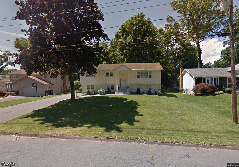
179 Eagle Dr Newington, CT 06111
Estimated Value: $407,048 - $482,000
3
Beds
3
Baths
1,340
Sq Ft
$324/Sq Ft
Est. Value
About This Home
This home is located at 179 Eagle Dr, Newington, CT 06111 and is currently estimated at $433,762, approximately $323 per square foot. 179 Eagle Dr is a home located in Hartford County with nearby schools including Anna Reynolds School, Martin Kellogg Middle School, and Newington High School.
Ownership History
Date
Name
Owned For
Owner Type
Purchase Details
Closed on
Nov 18, 2004
Sold by
Levenson Naomi M
Bought by
Mirabello John A and Mirabello Isabella
Current Estimated Value
Home Financials for this Owner
Home Financials are based on the most recent Mortgage that was taken out on this home.
Original Mortgage
$160,000
Interest Rate
5.8%
Create a Home Valuation Report for This Property
The Home Valuation Report is an in-depth analysis detailing your home's value as well as a comparison with similar homes in the area
Home Values in the Area
Average Home Value in this Area
Purchase History
| Date | Buyer | Sale Price | Title Company |
|---|---|---|---|
| Mirabello John A | $275,000 | -- |
Source: Public Records
Mortgage History
| Date | Status | Borrower | Loan Amount |
|---|---|---|---|
| Open | Mirabello John A | $152,500 | |
| Closed | Mirabello John A | $160,000 |
Source: Public Records
Tax History Compared to Growth
Tax History
| Year | Tax Paid | Tax Assessment Tax Assessment Total Assessment is a certain percentage of the fair market value that is determined by local assessors to be the total taxable value of land and additions on the property. | Land | Improvement |
|---|---|---|---|---|
| 2025 | $6,798 | $170,040 | $55,120 | $114,920 |
| 2024 | $6,745 | $170,040 | $55,120 | $114,920 |
| 2023 | $6,523 | $170,040 | $55,120 | $114,920 |
| 2022 | $6,545 | $170,040 | $55,120 | $114,920 |
| 2021 | $6,599 | $170,040 | $55,120 | $114,920 |
| 2020 | $6,342 | $161,460 | $55,130 | $106,330 |
| 2019 | $6,370 | $161,460 | $55,130 | $106,330 |
| 2018 | $6,216 | $161,460 | $55,130 | $106,330 |
| 2017 | $5,908 | $161,460 | $55,130 | $106,330 |
| 2016 | $5,772 | $161,460 | $55,130 | $106,330 |
| 2014 | $5,462 | $157,090 | $54,830 | $102,260 |
Source: Public Records
Map
Nearby Homes
- 236 Sterling Dr Unit 236
- 218 Sterling Dr Unit 218
- 228 Reservoir Rd
- 16 Thornton Dr
- 31 Dacosta Dr
- 135 Village Square Dr Unit 1
- 54 Red Top Dr
- 305 Hampton Ct
- 25 Fowler Dr
- 20 Surrey Dr Unit B16 aka B4
- 164 Brittany Farms Rd Unit A
- 198 Brittany Farms Rd Unit D
- 140 Camp Ave
- 84 Barbour Rd
- 29 Bradford Walk Unit 29
- 105 Gilbert Rd
- 9 Old Farm Dr
- 281 South Rd
- 7 Old Farm Dr
- 55 Alexander Rd
- 171 Eagle Dr
- 185 Eagle Dr
- 157 Jeffrey Ln
- 165 Eagle Dr
- 191 Eagle Dr
- 214 Barkledge Dr
- 214 Barkledge Dr Unit 2-15
- 214 Barkledge Dr Unit 214
- 220 Barkledge Dr
- 220 Barkledge Dr Unit 2-15
- 208 Barkledge Dr
- 208 Barkledge Dr Unit 1-15
- 226 Barkledge Dr
- 226 Barkledge Dr Unit 114
- 226 Barkledge Dr Unit 1-14
- 226 Barkledge Dr Unit 226
- 159 Eagle Dr
- 182 Eagle Dr
- 174 Eagle Dr
- 166 Jeffrey Ln