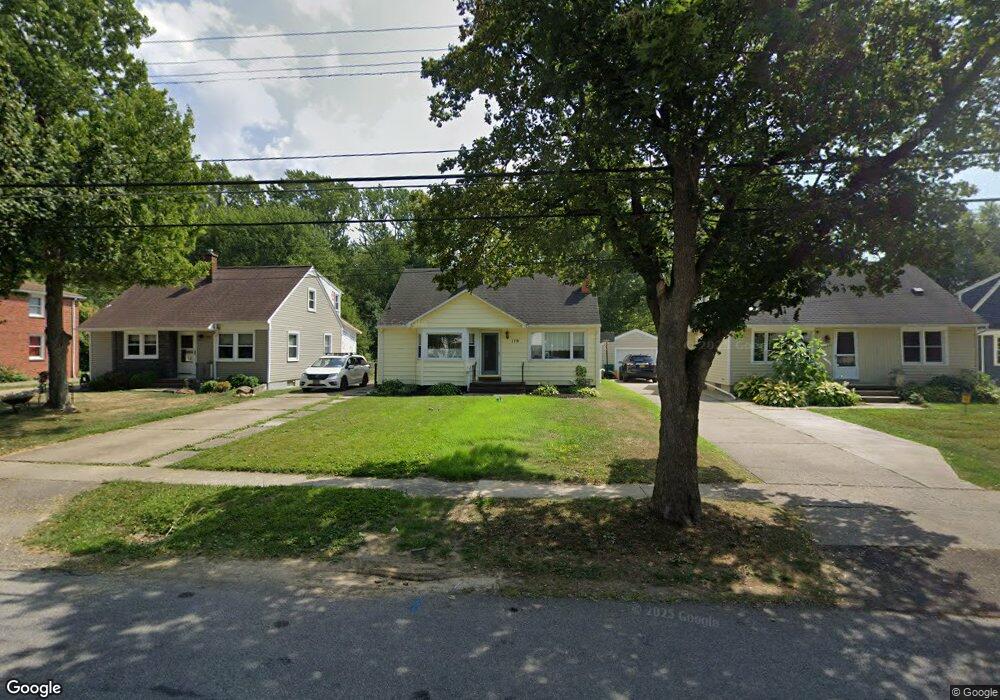
179 Euclid Ave Hamburg, NY 14075
Estimated Value: $347,000 - $395,000
3
Beds
1
Bath
1,744
Sq Ft
$207/Sq Ft
Est. Value
About This Home
This home is located at 179 Euclid Ave, Hamburg, NY 14075 and is currently estimated at $361,850, approximately $207 per square foot. 179 Euclid Ave is a home located in Erie County with nearby schools including Hamburg Middle School, Sts. Peter & Paul Elementary School, and Hamburg Christian Academy.
Ownership History
Date
Name
Owned For
Owner Type
Purchase Details
Closed on
Feb 20, 2005
Sold by
Palmer Thomas J and Palmer Heather A
Bought by
Eustace Patrick J and Bumann Amy B
Current Estimated Value
Home Financials for this Owner
Home Financials are based on the most recent Mortgage that was taken out on this home.
Original Mortgage
$28,196
Outstanding Balance
$14,323
Interest Rate
5.64%
Mortgage Type
Credit Line Revolving
Estimated Equity
$347,527
Create a Home Valuation Report for This Property
The Home Valuation Report is an in-depth analysis detailing your home's value as well as a comparison with similar homes in the area
Home Values in the Area
Average Home Value in this Area
Purchase History
| Date | Buyer | Sale Price | Title Company |
|---|---|---|---|
| Eustace Patrick J | $140,980 | -- |
Source: Public Records
Mortgage History
| Date | Status | Borrower | Loan Amount |
|---|---|---|---|
| Open | Eustace Patrick J | $28,196 | |
| Open | Eustace Patrick J | $112,784 |
Source: Public Records
Tax History Compared to Growth
Tax History
| Year | Tax Paid | Tax Assessment Tax Assessment Total Assessment is a certain percentage of the fair market value that is determined by local assessors to be the total taxable value of land and additions on the property. | Land | Improvement |
|---|---|---|---|---|
| 2024 | $7,334 | $82,100 | $7,700 | $74,400 |
| 2023 | $7,188 | $82,100 | $7,700 | $74,400 |
| 2022 | $6,903 | $82,100 | $7,700 | $74,400 |
| 2021 | $5,049 | $82,100 | $7,700 | $74,400 |
| 2020 | $6,181 | $82,100 | $7,700 | $74,400 |
| 2019 | $5,658 | $82,100 | $7,700 | $74,400 |
| 2018 | $5,846 | $82,100 | $7,700 | $74,400 |
| 2017 | $1,593 | $82,100 | $7,700 | $74,400 |
| 2016 | $5,698 | $82,100 | $7,700 | $74,400 |
| 2015 | -- | $82,100 | $7,700 | $74,400 |
| 2014 | -- | $82,100 | $7,700 | $74,400 |
Source: Public Records
Map
Nearby Homes
- 42 Sandra Place
- 82 Raymond St
- 88 Raymond St
- 4373 Clark St
- 55 Therin Dr
- 66 Elizabeth St
- 187 Hunt Ave
- 21 Dudley Ave
- 5985 Mckinley Pkwy
- 4479 Clark St
- 38 Oliver Place
- 43 Oliver Place
- 4165 Norway Place
- 6145 Mckinley Pkwy Unit 5
- 6145 Mckinley Pkwy Unit 31
- 25 Brendel Ave
- 27 Huntington Ct
- 87 Maple Ave
- 11 Hunt Ave
- 6309 Boston State Rd
- 175 Euclid Ave
- 185 Euclid Ave
- 169 Euclid Ave
- 189 Euclid Ave
- 163 Euclid Ave
- 201 Euclid Ave
- 72 Parkside Ave
- 78 Parkside Ave
- 62 Parkside Ave
- 155 Euclid Ave
- 205 Euclid Ave
- 184 Euclid Ave
- 172 Euclid Ave
- 190 Euclid Ave
- 168 Euclid Ave
- 194 Euclid Ave
- 149 Euclid Ave
- 50 Parkside Ave
- 164 Euclid Ave
- 198 Euclid Ave