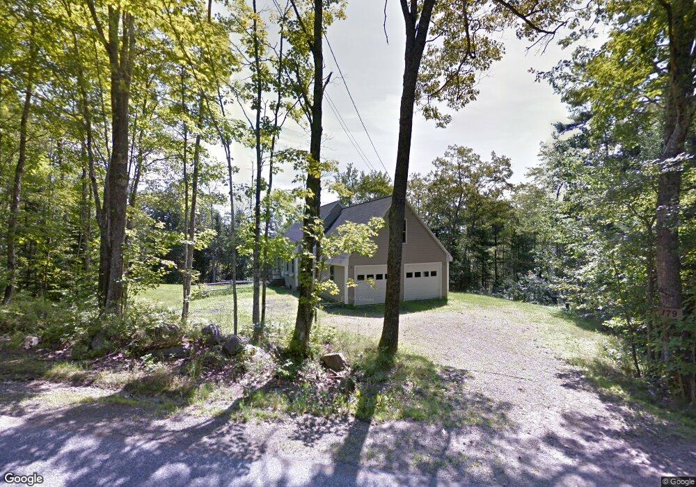
179 Gibbs Rd Wiscasset, ME 04578
Estimated Value: $359,000 - $428,000
3
Beds
2
Baths
1,992
Sq Ft
$194/Sq Ft
Est. Value
About This Home
This home is located at 179 Gibbs Rd, Wiscasset, ME 04578 and is currently estimated at $386,718, approximately $194 per square foot. 179 Gibbs Rd is a home located in Lincoln County.
Ownership History
Date
Name
Owned For
Owner Type
Purchase Details
Closed on
Jun 4, 2020
Sold by
Wentworth Clara D and Wentworth Schuyler A
Bought by
Marcoux Christopher M and Marcoux Bonnie J
Current Estimated Value
Home Financials for this Owner
Home Financials are based on the most recent Mortgage that was taken out on this home.
Original Mortgage
$45,000
Outstanding Balance
$39,963
Interest Rate
3.3%
Mortgage Type
New Conventional
Estimated Equity
$346,755
Purchase Details
Closed on
Jul 1, 2005
Sold by
Goud Edward C and Goud Wendy S
Bought by
Marcoux Christopher M and Marcoux Bonnie J
Create a Home Valuation Report for This Property
The Home Valuation Report is an in-depth analysis detailing your home's value as well as a comparison with similar homes in the area
Home Values in the Area
Average Home Value in this Area
Purchase History
| Date | Buyer | Sale Price | Title Company |
|---|---|---|---|
| Marcoux Christopher M | -- | None Available | |
| Marcoux Christopher M | -- | -- |
Source: Public Records
Mortgage History
| Date | Status | Borrower | Loan Amount |
|---|---|---|---|
| Open | Marcoux Christopher M | $45,000 |
Source: Public Records
Tax History Compared to Growth
Tax History
| Year | Tax Paid | Tax Assessment Tax Assessment Total Assessment is a certain percentage of the fair market value that is determined by local assessors to be the total taxable value of land and additions on the property. | Land | Improvement |
|---|---|---|---|---|
| 2024 | $4,124 | $232,100 | $54,200 | $177,900 |
| 2023 | $3,957 | $232,100 | $54,200 | $177,900 |
| 2022 | $3,729 | $185,700 | $43,300 | $142,400 |
| 2021 | $3,736 | $185,700 | $43,300 | $142,400 |
| 2020 | $3,736 | $185,700 | $43,300 | $142,400 |
| 2019 | $3,695 | $185,700 | $43,300 | $142,400 |
| 2018 | $3,630 | $185,700 | $43,300 | $142,400 |
| 2017 | $3,484 | $185,700 | $43,300 | $142,400 |
| 2016 | $3,474 | $185,700 | $43,300 | $142,400 |
| 2015 | $3,045 | $185,700 | $43,300 | $142,400 |
| 2014 | $3,157 | $185,700 | $43,300 | $142,400 |
| 2013 | $3,008 | $185,700 | $43,300 | $142,400 |
Source: Public Records
Map
Nearby Homes
- Lot 15&40 Gibbs Rd
- Lot 11 Spruce Knoll Rd
- Lot 9 Foye Rd
- 467 Lowelltown Rd
- 1051 Gardiner Rd Unit 3
- 139 Old County Rd
- 8 Foye Rd
- 10 Foye Rd
- Lot #8 Gunners Way
- 2 Gunners Way
- 9 Kaleb's Way
- 583 W Alna Rd
- 611 W Alna Rd
- R05-58A W Alna Rd
- 12 Micmac Dr
- 7 Dakota Ln
- Lot # 0 Deer Ridge Rd
- 886 Middle Rd
- 3 Langdon Rd
- 105 Old Sheepscot Rd