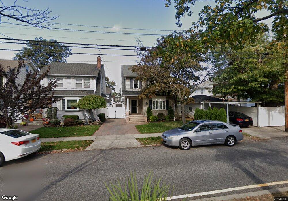
179 Harvest Ave Staten Island, NY 10310
West Brighton NeighborhoodEstimated Value: $662,519 - $860,000
--
Bed
4
Baths
1,496
Sq Ft
$497/Sq Ft
Est. Value
About This Home
This home is located at 179 Harvest Ave, Staten Island, NY 10310 and is currently estimated at $743,630, approximately $497 per square foot. 179 Harvest Ave is a home located in Richmond County with nearby schools including P.S. 45 John Tyler, Intermediate School 27, and Curtis High School.
Ownership History
Date
Name
Owned For
Owner Type
Purchase Details
Closed on
May 21, 2014
Sold by
Dillon Denis and Currie Dillon Colleen M
Bought by
Currie Dillon Colleen M
Current Estimated Value
Home Financials for this Owner
Home Financials are based on the most recent Mortgage that was taken out on this home.
Original Mortgage
$292,000
Interest Rate
4.33%
Mortgage Type
New Conventional
Create a Home Valuation Report for This Property
The Home Valuation Report is an in-depth analysis detailing your home's value as well as a comparison with similar homes in the area
Home Values in the Area
Average Home Value in this Area
Purchase History
| Date | Buyer | Sale Price | Title Company |
|---|---|---|---|
| Currie Dillon Colleen M | -- | Security Title Guarantee Cor |
Source: Public Records
Mortgage History
| Date | Status | Borrower | Loan Amount |
|---|---|---|---|
| Closed | Currie Dillon Colleen M | $292,000 |
Source: Public Records
Tax History Compared to Growth
Tax History
| Year | Tax Paid | Tax Assessment Tax Assessment Total Assessment is a certain percentage of the fair market value that is determined by local assessors to be the total taxable value of land and additions on the property. | Land | Improvement |
|---|---|---|---|---|
| 2025 | $6,649 | $42,000 | $10,226 | $31,774 |
| 2024 | $6,649 | $43,380 | $9,340 | $34,040 |
| 2023 | $6,343 | $31,230 | $8,598 | $22,632 |
| 2022 | $6,036 | $44,880 | $12,240 | $32,640 |
| 2021 | $6,363 | $38,940 | $12,240 | $26,700 |
| 2020 | $6,189 | $37,980 | $12,240 | $25,740 |
| 2019 | $5,771 | $36,180 | $12,240 | $23,940 |
| 2018 | $5,305 | $26,025 | $9,688 | $16,337 |
| 2017 | $5,136 | $25,196 | $10,753 | $14,443 |
| 2016 | $5,037 | $25,196 | $10,405 | $14,791 |
| 2015 | $4,107 | $24,367 | $11,473 | $12,894 |
| 2014 | $4,107 | $22,989 | $12,983 | $10,006 |
Source: Public Records
Map
Nearby Homes
- 152 Harvest Ave
- 677 Bement Ave
- 100 Lawrence Ave
- 34 Harvest Ave
- 12 Freeman Place
- 706 Broadway
- 710 Oakland Ave
- 54 Purcell St
- 20 Baker Place
- 386 N Burgher Ave
- 432 Pelton Ave
- 605 Bard Ave
- 401 Broadway
- 555 Delafield Ave
- 751 Oakland Ave
- 54 City Blvd
- 244 Delafield Ave
- 10 Ludwig St
- 1 Whitewood Ave
- 6 Ludwig St
- 183 Harvest Ave
- 580 Bement Ave
- 187 Harvest Ave
- 584 Bement Ave
- 578 Bement Ave
- 576 Bement Ave
- 10 E Raleigh Ave
- 12 E Raleigh Ave
- 191 Harvest Ave
- 16 E Raleigh Ave
- 568 Bement Ave
- 193 Harvest Ave
- 590 Bement Ave
- 20 E Raleigh Ave
- 564 Bement Ave
- 180 Harvest Ave
- 24 E Raleigh Ave
- 596 Bement Ave
- 184 Harvest Ave
- 197 Harvest Ave