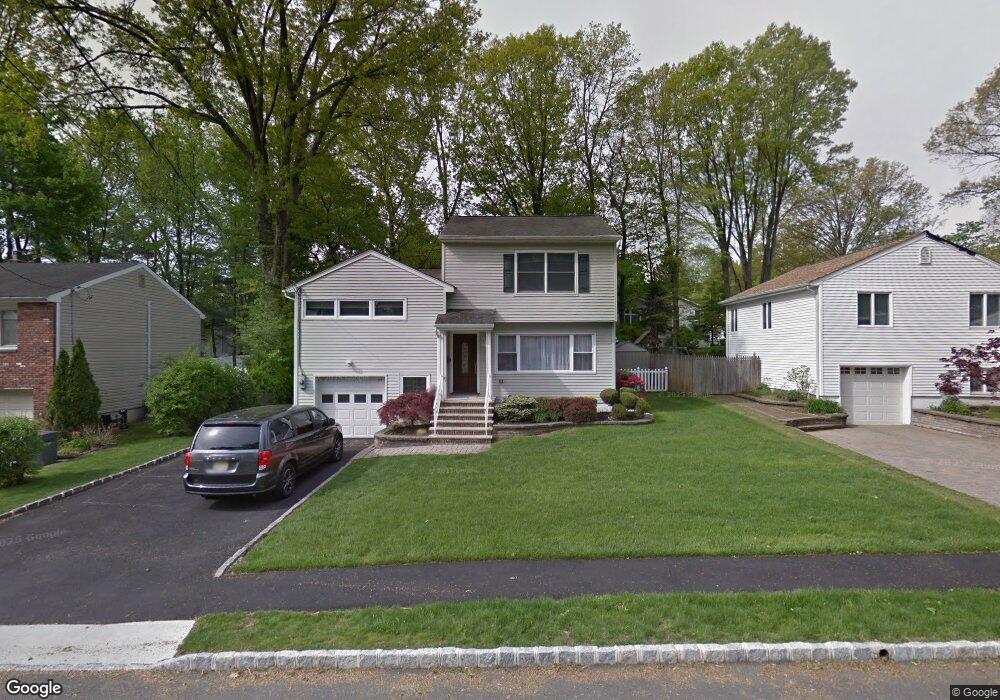
179 Hawthorne Ave Springfield, NJ 07081
Estimated Value: $562,000 - $617,000
Studio
--
Bath
1,528
Sq Ft
$378/Sq Ft
Est. Value
About This Home
This home is located at 179 Hawthorne Ave, Springfield, NJ 07081 and is currently estimated at $577,234, approximately $377 per square foot. 179 Hawthorne Ave is a home located in Union County with nearby schools including Jonathan Dayton High School and St James The Apostle School.
Ownership History
Date
Name
Owned For
Owner Type
Purchase Details
Closed on
Sep 28, 1999
Sold by
Schiavo Amelina
Bought by
Cunningham Mark G and Cunningham Jamie
Current Estimated Value
Home Financials for this Owner
Home Financials are based on the most recent Mortgage that was taken out on this home.
Original Mortgage
$167,000
Outstanding Balance
$50,347
Interest Rate
7.81%
Mortgage Type
Purchase Money Mortgage
Estimated Equity
$526,887
Create a Home Valuation Report for This Property
The Home Valuation Report is an in-depth analysis detailing your home's value as well as a comparison with similar homes in the area
Home Values in the Area
Average Home Value in this Area
Purchase History
| Date | Buyer | Sale Price | Title Company |
|---|---|---|---|
| Cunningham Mark G | $175,900 | Fidelity National Title Ins |
Source: Public Records
Mortgage History
| Date | Status | Borrower | Loan Amount |
|---|---|---|---|
| Open | Cunningham Mark G | $167,000 |
Source: Public Records
Tax History
| Year | Tax Paid | Tax Assessment Tax Assessment Total Assessment is a certain percentage of the fair market value that is determined by local assessors to be the total taxable value of land and additions on the property. | Land | Improvement |
|---|---|---|---|---|
| 2025 | $10,455 | $440,200 | $190,800 | $249,400 |
| 2024 | $10,283 | $440,200 | $190,800 | $249,400 |
| 2023 | $10,283 | $440,200 | $190,800 | $249,400 |
| 2022 | $9,548 | $440,200 | $190,800 | $249,400 |
| 2021 | $11,406 | $153,200 | $62,800 | $90,400 |
| 2020 | $11,228 | $153,200 | $62,800 | $90,400 |
| 2019 | $11,076 | $153,200 | $62,800 | $90,400 |
| 2018 | $10,877 | $153,200 | $62,800 | $90,400 |
| 2017 | $10,578 | $153,200 | $62,800 | $90,400 |
| 2016 | $10,373 | $153,200 | $62,800 | $90,400 |
| 2015 | $10,252 | $153,200 | $62,800 | $90,400 |
| 2014 | $10,059 | $153,200 | $62,800 | $90,400 |
Source: Public Records
Map
Nearby Homes
- 2 S Audlen Terrace
- 5B Troy Dr Unit 1
- 300 Wilson Rd Unit 24D
- 33 Springbrook Rd
- 170 Short Hills Ave
- 445 Morris Ave Unit 4C
- 445 Morris Ave Unit 11D
- 445 Morris Ave Unit D11
- 24 Brook St
- 294 Mountain Ave
- 77B Troy Dr Unit 77B
- 7 Canterbury Ln
- 15 Canterbury Ln
- 8 Woodstone Cir
- 37-39 Edison Dr
- 238 Riverside Dr
- 28 Morris Ave Unit DD
- 20 Maple Ave
- 270 Main St Unit D
- 8 Willow St
- 185 Hawthorne Ave
- 178 Henshaw Ave
- 189 Hawthorne Ave
- 171 Hawthorne Ave
- 186 Henshaw Ave
- 174 Henshaw Ave
- 182 Hawthorne Ave
- 178 Hawthorne Ave
- 190 Henshaw Ave
- 170 Henshaw Ave
- 186 Hawthorne Ave
- 174 Hawthorne Ave
- 193 Hawthorne Ave
- 167 Hawthorne Ave
- 190 Hawthorne Ave
- 194 Henshaw Ave
- 170 Hawthorne Ave
- 166 Henshaw Ave
- 205 Hawthorne Ave
- 36 Hobart Place
Your Personal Tour Guide
Ask me questions while you tour the home.