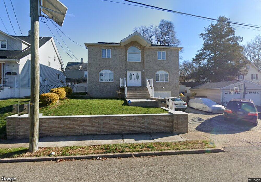
179 Howard St Dumont, NJ 07628
Estimated Value: $742,000 - $1,064,000
--
Bed
--
Bath
3,180
Sq Ft
$267/Sq Ft
Est. Value
About This Home
This home is located at 179 Howard St, Dumont, NJ 07628 and is currently estimated at $850,064, approximately $267 per square foot. 179 Howard St is a home located in Bergen County with nearby schools including Dumont High School and Institute For Educational Achievement.
Ownership History
Date
Name
Owned For
Owner Type
Purchase Details
Closed on
Sep 7, 2023
Sold by
Cami Reshat and Cami Farije
Bought by
Reshat Cami and Farije Cami Farije
Current Estimated Value
Home Financials for this Owner
Home Financials are based on the most recent Mortgage that was taken out on this home.
Original Mortgage
$250,000
Interest Rate
6.69%
Mortgage Type
New Conventional
Purchase Details
Closed on
Jul 12, 2007
Sold by
Fuchs Ulrich and Fuchs Sharon
Bought by
Reshat Cami and Farije Cami
Home Financials for this Owner
Home Financials are based on the most recent Mortgage that was taken out on this home.
Original Mortgage
$228,000
Interest Rate
6.78%
Mortgage Type
New Conventional
Create a Home Valuation Report for This Property
The Home Valuation Report is an in-depth analysis detailing your home's value as well as a comparison with similar homes in the area
Home Values in the Area
Average Home Value in this Area
Purchase History
| Date | Buyer | Sale Price | Title Company |
|---|---|---|---|
| Reshat Cami | -- | Servicelink | |
| Cami Reshat | -- | Servicelink | |
| Reshat Cami | $285,000 | -- |
Source: Public Records
Mortgage History
| Date | Status | Borrower | Loan Amount |
|---|---|---|---|
| Previous Owner | Cami Reshat | $250,000 | |
| Previous Owner | Reshat Cami | $228,000 |
Source: Public Records
Tax History Compared to Growth
Tax History
| Year | Tax Paid | Tax Assessment Tax Assessment Total Assessment is a certain percentage of the fair market value that is determined by local assessors to be the total taxable value of land and additions on the property. | Land | Improvement |
|---|---|---|---|---|
| 2025 | $19,520 | $943,100 | $294,600 | $648,500 |
| 2024 | $19,040 | $480,200 | $168,000 | $312,200 |
| 2023 | $18,646 | $480,200 | $168,000 | $312,200 |
| 2022 | $18,646 | $480,200 | $168,000 | $312,200 |
| 2021 | $18,555 | $480,200 | $168,000 | $312,200 |
| 2020 | $18,051 | $480,200 | $168,000 | $312,200 |
| 2019 | $17,619 | $480,200 | $168,000 | $312,200 |
| 2018 | $17,258 | $480,200 | $168,000 | $312,200 |
| 2017 | $16,927 | $480,200 | $168,000 | $312,200 |
| 2016 | $16,533 | $480,200 | $168,000 | $312,200 |
| 2015 | $16,154 | $480,200 | $168,000 | $312,200 |
| 2014 | $15,837 | $480,200 | $168,000 | $312,200 |
Source: Public Records
Map
Nearby Homes
- 181 Howard St
- 135 Davies Ave
- 165 Howard St
- 138 Delaware Ave
- 142 Delaware Ave
- 123 Davies Ave
- 141 Davies Ave
- 146 Delaware Ave
- 168 Howard St
- 185 Howard St
- 145 Davies Ave
- 164 Howard St
- 115 Davies Ave
- 152 Delaware Ave
- 128 Davies Ave
- 155 Howard St
- 190 Howard St
- 149 Davies Ave
- 111 Davies Ave
- 132 Davies Ave