179 Howell Rd Mocksville, NC 27028
Estimated Value: $547,000 - $1,040,777
4
Beds
3
Baths
3,100
Sq Ft
$236/Sq Ft
Est. Value
About This Home
This home is located at 179 Howell Rd, Mocksville, NC 27028 and is currently estimated at $730,592, approximately $235 per square foot. 179 Howell Rd is a home located in Davie County with nearby schools including William R. Davie Elementary School, North Davie Middle School, and Davie County High School.
Ownership History
Date
Name
Owned For
Owner Type
Purchase Details
Closed on
Dec 1, 1984
Current Estimated Value
Create a Home Valuation Report for This Property
The Home Valuation Report is an in-depth analysis detailing your home's value as well as a comparison with similar homes in the area
Home Values in the Area
Average Home Value in this Area
Purchase History
| Date | Buyer | Sale Price | Title Company |
|---|---|---|---|
| -- | -- | -- |
Source: Public Records
Tax History Compared to Growth
Tax History
| Year | Tax Paid | Tax Assessment Tax Assessment Total Assessment is a certain percentage of the fair market value that is determined by local assessors to be the total taxable value of land and additions on the property. | Land | Improvement |
|---|---|---|---|---|
| 2025 | $2,683 | $388,760 | $0 | $0 |
| 2024 | $2,266 | $292,360 | $0 | $0 |
| 2023 | $2,266 | $292,360 | $0 | $0 |
| 2022 | $2,281 | $292,360 | $0 | $0 |
| 2021 | $2,266 | $292,360 | $0 | $0 |
| 2020 | $2,230 | $285,730 | $0 | $0 |
| 2019 | $2,231 | $285,730 | $0 | $0 |
| 2018 | $2,223 | $285,730 | $0 | $0 |
| 2017 | $2,196 | $285,730 | $0 | $0 |
| 2016 | $2,305 | $299,870 | $0 | $0 |
| 2015 | $2,290 | $299,870 | $0 | $0 |
| 2014 | -- | $297,950 | $0 | $0 |
| 2013 | -- | $297,950 | $0 | $0 |
Source: Public Records
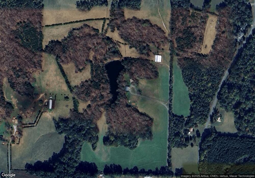
Map
Nearby Homes
- Knollwood Plan at Providence Place
- Aster Plan at Providence Place
- Ledford Plan at Providence Place
- Cotton Grove Plan at Providence Place
- Abbott Plan at Providence Place
- Southmont Plan at Providence Place
- 228 Meadowlark Ln
- 155 Cotton Ln
- 5304 U S Highway 601 N
- 200 Bramblewood Ln
- 3721 Nc Highway 801 N
- 4799 Us Highway 601 N
- 112 Courtney Rd
- 3227 Us Highway 601 N
- 153 Summerlyn Dr
- 00 Angell Rd
- 5173 Us Highway 601 N
- 118 Arrendal Ct
- 123 Cornwallis Dr
- 550 Danner Rd
- 221 Howell Rd
- 230 Howell Rd
- 1248 Eatons Church Rd
- 149 Howell Rd
- 1166 Eatons Church Rd
- 135 Howell Rd
- 351 Howell Rd
- 146 Howell Rd
- 1084 Eatons Church Rd
- 1324 Eatons Church Rd
- 1264 Eatons Church Rd
- 1264 Eatons Church Rd Unit 1
- 1076 Eatons Church Rd
- 1141 Eatons Church Rd
- 190 Wade Eaton Dr
- 190 Wade Eaton Dr Unit 8
- 1294 Eatons Church Rd
- 1271 Eatons Church Rd
- 1067 Eatons Church Rd
- 189 Wade Eaton Dr