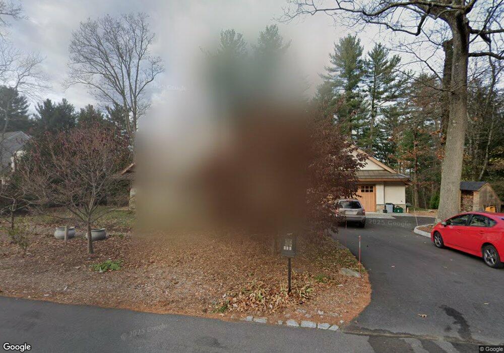
179 Independence Rd Concord, MA 01742
Estimated Value: $1,435,000 - $2,525,000
2
Beds
3
Baths
2,215
Sq Ft
$909/Sq Ft
Est. Value
About This Home
This home is located at 179 Independence Rd, Concord, MA 01742 and is currently estimated at $2,013,019, approximately $908 per square foot. 179 Independence Rd is a home located in Middlesex County with nearby schools including Alcott Elementary School, Concord Middle School, and The Fenn School.
Ownership History
Date
Name
Owned For
Owner Type
Purchase Details
Closed on
Dec 12, 2013
Sold by
Berliner Louise
Bought by
179 Independence Road
Current Estimated Value
Purchase Details
Closed on
Dec 30, 1998
Sold by
Fc Webster T 1
Bought by
Berliner Louise
Home Financials for this Owner
Home Financials are based on the most recent Mortgage that was taken out on this home.
Original Mortgage
$428,000
Interest Rate
6.84%
Mortgage Type
Purchase Money Mortgage
Create a Home Valuation Report for This Property
The Home Valuation Report is an in-depth analysis detailing your home's value as well as a comparison with similar homes in the area
Home Values in the Area
Average Home Value in this Area
Purchase History
| Date | Buyer | Sale Price | Title Company |
|---|---|---|---|
| 179 Independence Road | -- | -- | |
| Berliner Louise | $554,000 | -- |
Source: Public Records
Mortgage History
| Date | Status | Borrower | Loan Amount |
|---|---|---|---|
| Previous Owner | Berliner Louise | $428,000 |
Source: Public Records
Tax History Compared to Growth
Tax History
| Year | Tax Paid | Tax Assessment Tax Assessment Total Assessment is a certain percentage of the fair market value that is determined by local assessors to be the total taxable value of land and additions on the property. | Land | Improvement |
|---|---|---|---|---|
| 2025 | $265 | $1,997,100 | $1,101,900 | $895,200 |
| 2024 | $26,345 | $2,006,500 | $1,101,900 | $904,600 |
| 2023 | $21,212 | $1,636,700 | $901,500 | $735,200 |
| 2022 | $20,000 | $1,355,000 | $721,100 | $633,900 |
| 2021 | $20,037 | $1,361,200 | $721,100 | $640,100 |
| 2020 | $19,107 | $1,342,700 | $721,100 | $621,600 |
| 2019 | $14,508 | $1,022,400 | $752,200 | $270,200 |
| 2018 | $9,530 | $666,900 | $666,900 | $0 |
| 2017 | $14,842 | $1,054,900 | $611,500 | $443,400 |
| 2016 | $14,624 | $1,050,600 | $611,500 | $439,100 |
| 2015 | $13,834 | $968,100 | $566,200 | $401,900 |
Source: Public Records
Map
Nearby Homes
- 96 Independence Rd
- 140 Revolutionary Rd
- 58 Peter Spring Rd
- 35 Chestnut St
- 16 Hatch Farm Ln
- 10 Hatch Farm Ln
- 28 Hatch Farm Ln
- 38-40 Court Ln
- 646 Cambridge Turnpike
- 143 Everett St
- 61B Walden St
- 644 Old Bedford Rd
- 46 Sudbury Rd
- 86 Butternut Cir
- 6 Parker Rd
- 14 Thoreau St
- 84 Bruce Rd
- 232 Sudbury Rd
- 22 Belknap Ct
- 9 Garland Rd
- 199 Independence Rd
- 174 Independence Rd
- 188 Independence Rd
- 201 Independence Rd
- 162 Independence Rd
- 147 Independence Rd
- 204 Independence Rd
- 152 Independence Rd
- 92 Powers Rd
- 144 Alcott Rd
- 134 Alcott Rd
- 82 Powers Rd
- 141 Independence Rd
- 158 Alcott Rd
- 72 Powers Rd
- 221 Independence Rd
- 222 Independence Rd
- 126 Alcott Rd
- 172 Alcott Rd
- 62 Powers Rd