179 Joshua Rd Divide, CO 80814
Estimated Value: $712,144 - $856,000
3
Beds
3
Baths
2,559
Sq Ft
$311/Sq Ft
Est. Value
About This Home
This home is located at 179 Joshua Rd, Divide, CO 80814 and is currently estimated at $796,036, approximately $311 per square foot. 179 Joshua Rd is a home located in Teller County with nearby schools including Woodland Park Junior/Senior High School and Merit Academy.
Ownership History
Date
Name
Owned For
Owner Type
Purchase Details
Closed on
Aug 17, 2009
Sold by
National Residential Nominee Services In
Bought by
Baldus Mark B and Baldus Donna L
Current Estimated Value
Home Financials for this Owner
Home Financials are based on the most recent Mortgage that was taken out on this home.
Original Mortgage
$389,900
Outstanding Balance
$253,568
Interest Rate
5.16%
Mortgage Type
VA
Estimated Equity
$542,468
Purchase Details
Closed on
Jan 14, 2009
Sold by
Largent Ronald W and Largent Mary J
Bought by
National Residential Nominee Services In
Purchase Details
Closed on
Aug 8, 1994
Bought by
Baldus Mark B and Baldus Donna L
Create a Home Valuation Report for This Property
The Home Valuation Report is an in-depth analysis detailing your home's value as well as a comparison with similar homes in the area
Home Values in the Area
Average Home Value in this Area
Purchase History
| Date | Buyer | Sale Price | Title Company |
|---|---|---|---|
| Baldus Mark B | $389,900 | Heritage Title | |
| National Residential Nominee Services In | $401,000 | Lt | |
| Baldus Mark B | $199,900 | -- |
Source: Public Records
Mortgage History
| Date | Status | Borrower | Loan Amount |
|---|---|---|---|
| Open | Baldus Mark B | $389,900 |
Source: Public Records
Tax History Compared to Growth
Tax History
| Year | Tax Paid | Tax Assessment Tax Assessment Total Assessment is a certain percentage of the fair market value that is determined by local assessors to be the total taxable value of land and additions on the property. | Land | Improvement |
|---|---|---|---|---|
| 2024 | $2,518 | $40,500 | $4,584 | $35,916 |
| 2023 | $2,518 | $40,500 | $4,580 | $35,920 |
| 2022 | $1,664 | $29,690 | $2,550 | $27,140 |
| 2021 | $2,116 | $37,690 | $3,240 | $34,450 |
| 2020 | $1,816 | $33,040 | $2,910 | $30,130 |
| 2019 | $1,794 | $33,040 | $0 | $0 |
| 2018 | $1,506 | $26,880 | $0 | $0 |
| 2017 | $1,509 | $26,880 | $0 | $0 |
| 2016 | $1,773 | $31,470 | $0 | $0 |
| 2015 | $1,992 | $31,470 | $0 | $0 |
| 2014 | $2,335 | $36,410 | $0 | $0 |
Source: Public Records
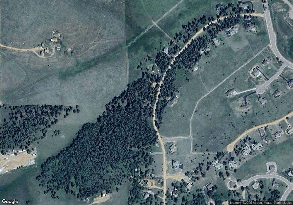
Map
Nearby Homes
- 106 Stephanie Place
- 407 Meadow Park Dr
- 190 Shannon Place
- 6500 County Road 5
- 309 Pinaceae Heights
- 42 Ridge Cir
- 162 Ridge Top Dr
- 11893 Colorado 67
- 284 County Road 511
- 1761 County Road 5
- 338 Doublet Ln
- 333 Golden Grain Ln
- 163 Minstrel Dr
- 65 Yeoman Ln
- 34 Herald Ln
- 1186 Will Scarlet Dr
- 1053 Will Scarlet Dr
- 209 Kenosha Cir
- 924 Will Scarlet Dr
- Lot 11 Aspen Dr
- 183 Joshua Rd
- 174 Joshua Rd
- 187 Joshua Rd
- 165 Joshua Rd
- 188 Joshua Rd
- 164 Joshua Rd
- 194 Joshua Rd
- 102 Stephanie Place
- 157 Joshua Rd
- 198 Joshua Rd
- 153 Joshua Rd
- 193 Joshua Rd
- 197 Joshua Rd
- 107 Stephanie Place
- 108 Samantha Way
- 202 Joshua Rd
- 149 Joshua Rd
- 105 Stephanie Place
- 137 Matthew Rd
- 101 Stephanie Place