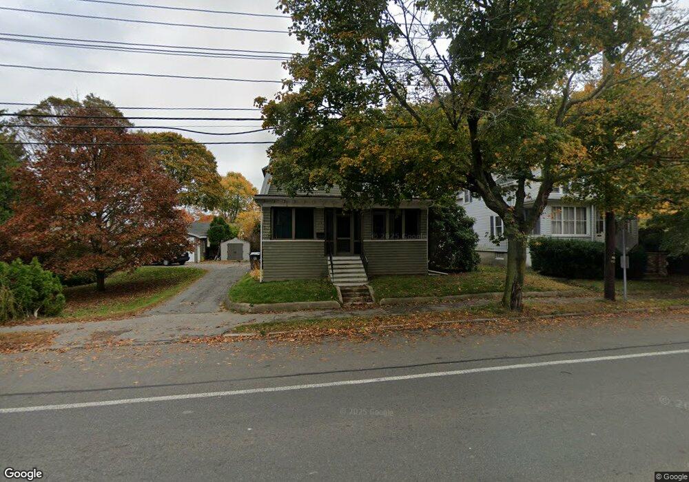
179 Loring Ave Salem, MA 01970
South Salem NeighborhoodEstimated Value: $593,436 - $697,000
3
Beds
2
Baths
1,612
Sq Ft
$392/Sq Ft
Est. Value
About This Home
This home is located at 179 Loring Ave, Salem, MA 01970 and is currently estimated at $632,359, approximately $392 per square foot. 179 Loring Ave is a home located in Essex County with nearby schools including Saltonstall School, Horace Mann Laboratory, and Witchcraft Heights Elementary School.
Ownership History
Date
Name
Owned For
Owner Type
Purchase Details
Closed on
Jul 29, 2008
Sold by
Aylwin Yvonne I Est
Bought by
Konis Steve and Konis Katerina
Current Estimated Value
Home Financials for this Owner
Home Financials are based on the most recent Mortgage that was taken out on this home.
Original Mortgage
$160,000
Interest Rate
6.4%
Create a Home Valuation Report for This Property
The Home Valuation Report is an in-depth analysis detailing your home's value as well as a comparison with similar homes in the area
Home Values in the Area
Average Home Value in this Area
Purchase History
| Date | Buyer | Sale Price | Title Company |
|---|---|---|---|
| Konis Steve | $268,500 | -- |
Source: Public Records
Mortgage History
| Date | Status | Borrower | Loan Amount |
|---|---|---|---|
| Open | Konis Steve | $158,000 | |
| Closed | Konis Steve | $160,000 | |
| Closed | Konis Steve | $160,000 |
Source: Public Records
Tax History Compared to Growth
Tax History
| Year | Tax Paid | Tax Assessment Tax Assessment Total Assessment is a certain percentage of the fair market value that is determined by local assessors to be the total taxable value of land and additions on the property. | Land | Improvement |
|---|---|---|---|---|
| 2025 | $5,363 | $472,900 | $197,800 | $275,100 |
| 2024 | $5,336 | $459,200 | $197,800 | $261,400 |
| 2023 | $5,018 | $401,100 | $181,000 | $220,100 |
| 2022 | $4,974 | $375,400 | $174,300 | $201,100 |
| 2021 | $4,994 | $361,900 | $164,300 | $197,600 |
| 2020 | $4,841 | $335,000 | $147,500 | $187,500 |
| 2019 | $4,660 | $308,600 | $134,100 | $174,500 |
| 2018 | $4,476 | $291,000 | $124,700 | $166,300 |
| 2017 | $4,404 | $277,700 | $117,300 | $160,400 |
| 2016 | $4,005 | $255,600 | $95,200 | $160,400 |
| 2015 | $4,057 | $247,200 | $95,200 | $152,000 |
Source: Public Records
Map
Nearby Homes
- 11 Sumner Rd
- 10 Quadrant Rd
- 23 Marion Rd Unit B
- 2 Fletcher Way Unit 34D
- 2 Wilfred Terrace
- 3 Cedarcrest Rd
- 24 Wisteria St Unit 2
- 327 Lafayette St Unit 2
- 263 Jefferson Ave
- 6 Loring Hills Ave Unit D3
- 9 Tedesco Pond Place Unit 9
- 83 Lafayette St
- 29 Willson St
- 17 Cliff St
- 25 Tedesco St
- 10 Horton St
- 1 Laurent Rd Unit 3
- 86 Freedom Hollow
- 201 Humphrey St Unit 2
- 1006 Paradise Rd Unit 3R
- 175 Loring Ave
- 183 Loring Ave
- 1 Grant Rd
- 3 Cleveland Rd
- 3 Cleveland Rd
- 173 Loring Ave
- 173 Loring Ave Unit 2
- 185 Loring Ave
- 3 Grant Rd
- End of Cleveland
- 180 Loring Ave
- 17 Cleveland Road Extension
- 171 Loring Ave
- 2 Cleveland Rd
- 176 Loring Ave
- 189 Loring Ave
- 5 Grant Rd
- 4 Cleveland Rd
- 4 Cleveland Rd
- 169 Loring Ave