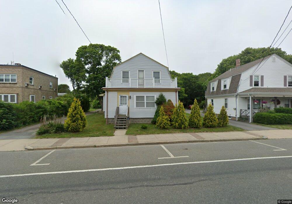
179 Main St Buzzards Bay, MA 02532
Buzzards Bay NeighborhoodEstimated Value: $637,000 - $735,000
3
Beds
2
Baths
1,896
Sq Ft
$354/Sq Ft
Est. Value
About This Home
This home is located at 179 Main St, Buzzards Bay, MA 02532 and is currently estimated at $671,308, approximately $354 per square foot. 179 Main St is a home located in Barnstable County with nearby schools including Bourne High School and St Margaret Regional School.
Create a Home Valuation Report for This Property
The Home Valuation Report is an in-depth analysis detailing your home's value as well as a comparison with similar homes in the area
Home Values in the Area
Average Home Value in this Area
Tax History
| Year | Tax Paid | Tax Assessment Tax Assessment Total Assessment is a certain percentage of the fair market value that is determined by local assessors to be the total taxable value of land and additions on the property. | Land | Improvement |
|---|---|---|---|---|
| 2025 | $4,845 | $620,400 | $213,700 | $406,700 |
| 2024 | $4,737 | $590,600 | $203,500 | $387,100 |
| 2023 | $4,309 | $489,100 | $144,100 | $345,000 |
| 2022 | $4,088 | $405,200 | $127,400 | $277,800 |
| 2021 | $4,000 | $371,400 | $115,900 | $255,500 |
| 2020 | $3,866 | $360,000 | $114,800 | $245,200 |
| 2019 | $3,656 | $347,900 | $114,800 | $233,100 |
| 2018 | $3,405 | $323,100 | $109,400 | $213,700 |
| 2017 | $3,057 | $296,800 | $108,400 | $188,400 |
| 2016 | $2,980 | $293,300 | $108,400 | $184,900 |
| 2015 | $2,954 | $293,300 | $108,400 | $184,900 |
Source: Public Records
Map
Nearby Homes
- 46 Holt Rd Unit B
- 46 Holt Rd
- 23 Alderberry Rd
- 40-A Lafayette Ave
- 48 Maple St
- 58 Maple St
- 4 Van Bummel Rd
- 38 Old Bridge Rd
- 304 Main St
- 6 Honora Ct
- 3 Honora Ln Unit 3
- 60 Bourne Neck Dr
- 60 Sandwich Rd
- 44 Cotuit Rd
- 5 Zoli Ln
- 10 Sandy Ln
- 9 Hideaway Rd Unit F
- 13 Laurel Hill Ct
- 13 Hideaway Village Unit G
- 810 Head of The Bay Rd
Your Personal Tour Guide
Ask me questions while you tour the home.