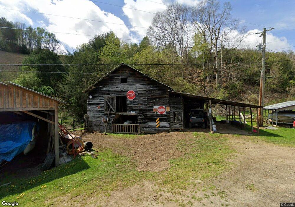
179 Maney Branch Rd Burnsville, NC 28714
Estimated Value: $282,033 - $358,000
2
Beds
1
Bath
899
Sq Ft
$358/Sq Ft
Est. Value
About This Home
This home is located at 179 Maney Branch Rd, Burnsville, NC 28714 and is currently estimated at $322,011, approximately $358 per square foot. 179 Maney Branch Rd is a home located in Yancey County with nearby schools including Mountain Heritage High School.
Ownership History
Date
Name
Owned For
Owner Type
Purchase Details
Closed on
Dec 13, 2024
Sold by
Penland Dawn Michelle
Bought by
Penland Timothy K
Current Estimated Value
Purchase Details
Closed on
Aug 19, 2015
Sold by
United States Of America
Bought by
Penland Timothy Keith
Purchase Details
Closed on
Sep 22, 2014
Sold by
Brucker Tawn M and Brucker Gerard A
Bought by
United States Of America and Farm Service Agency
Create a Home Valuation Report for This Property
The Home Valuation Report is an in-depth analysis detailing your home's value as well as a comparison with similar homes in the area
Home Values in the Area
Average Home Value in this Area
Purchase History
| Date | Buyer | Sale Price | Title Company |
|---|---|---|---|
| Penland Timothy K | -- | None Listed On Document | |
| Penland Timothy K | -- | None Listed On Document | |
| Penland Timothy Keith | $75,000 | None Available | |
| United States Of America | $98,700 | None Available |
Source: Public Records
Tax History Compared to Growth
Tax History
| Year | Tax Paid | Tax Assessment Tax Assessment Total Assessment is a certain percentage of the fair market value that is determined by local assessors to be the total taxable value of land and additions on the property. | Land | Improvement |
|---|---|---|---|---|
| 2025 | $1,010 | $246,300 | $160,300 | $86,000 |
| 2024 | $1,010 | $246,300 | $160,300 | $86,000 |
| 2023 | $701 | $109,490 | $70,600 | $38,890 |
| 2022 | $687 | $109,490 | $70,600 | $38,890 |
| 2021 | $701 | $109,490 | $70,600 | $38,890 |
| 2020 | $701 | $109,490 | $70,600 | $38,890 |
| 2019 | $701 | $109,490 | $70,600 | $38,890 |
| 2018 | $701 | $109,490 | $70,600 | $38,890 |
| 2017 | $701 | $109,490 | $70,600 | $38,890 |
| 2016 | $701 | $109,490 | $70,600 | $38,890 |
| 2015 | $831 | $153,980 | $128,100 | $25,880 |
| 2014 | $831 | $153,980 | $128,100 | $25,880 |
Source: Public Records
Map
Nearby Homes
- 456 Maney Branch Rd
- 000 Maney Branch Rd
- 456 & 000 Maney Branch Rd
- 00 Prices Creek Rd
- 71 Banks Creek Rd
- TBD Banks Creek Rd
- 124 Shootout Ln
- 0 McPeters Ln Unit CAR4243841
- 00 McPeters Ln
- 423 Hardscrabble Rd
- 239 Pleasant Valley Rd
- 300 Dogwood Ln
- 124 W Dogwood Cir
- 40 acres Charity Ln
- 18 Misty Meadows Rd
- 237 Hickory Nut Ridge Rd Unit 10
- 9999 River Edge Dr Unit 2
- 619 Leisure Ln
- 867 Indian Creek Rd
- 000 Mountain Air Dr
- 132 Penland Dr
- 347 Maney Branch Rd
- 1414 Prices Creek Rd
- SR1121 Prices Creek
- SR1121 Prices Creek Rd
- 30 Maney Branch Rd
- 346 Maney Branch Rd
- 385 Maney Branch Rd
- 14 Maney Branch Rd
- 161 Cherry Oak Rd
- 116 Cherry Oak Rd
- 1445 Prices Creek Rd
- 456 Maney Branch Rd
- 0 Maney Branch Rd
- 24 Cherry Oak Rd
- 200 Cherry Oak Rd
- 999 Prices Creek Rd Unit 21
- 934 Prices Creek Rd
- 254 Circle East Ranch Rd
- 537 Maney Branch Rd