179 N Office St Braidwood, IL 60408
Estimated Value: $237,000 - $329,000
--
Bed
--
Bath
--
Sq Ft
0.89
Acres
About This Home
This home is located at 179 N Office St, Braidwood, IL 60408 and is currently estimated at $277,928. 179 N Office St is a home located in Will County with nearby schools including Reed-Custer Intermediate School, Reed-Custer Middle School, and Reed-Custer High School.
Ownership History
Date
Name
Owned For
Owner Type
Purchase Details
Closed on
Aug 13, 2002
Sold by
Melhorn Michael C and Melhorn Sandy M
Bought by
Davis Ronald S and Davis Margaret R
Current Estimated Value
Home Financials for this Owner
Home Financials are based on the most recent Mortgage that was taken out on this home.
Original Mortgage
$50,000
Interest Rate
6.41%
Purchase Details
Closed on
Apr 23, 1994
Sold by
Beasley William and Beasley Delores
Bought by
Melhorn Michael C and Melhorn Sandy M
Home Financials for this Owner
Home Financials are based on the most recent Mortgage that was taken out on this home.
Original Mortgage
$64,800
Interest Rate
7.84%
Create a Home Valuation Report for This Property
The Home Valuation Report is an in-depth analysis detailing your home's value as well as a comparison with similar homes in the area
Home Values in the Area
Average Home Value in this Area
Purchase History
| Date | Buyer | Sale Price | Title Company |
|---|---|---|---|
| Davis Ronald S | $140,000 | Ticor Title | |
| Melhorn Michael C | $105,000 | -- |
Source: Public Records
Mortgage History
| Date | Status | Borrower | Loan Amount |
|---|---|---|---|
| Closed | Davis Ronald S | $50,000 | |
| Previous Owner | Melhorn Michael C | $64,800 |
Source: Public Records
Tax History Compared to Growth
Tax History
| Year | Tax Paid | Tax Assessment Tax Assessment Total Assessment is a certain percentage of the fair market value that is determined by local assessors to be the total taxable value of land and additions on the property. | Land | Improvement |
|---|---|---|---|---|
| 2024 | $2,335 | $82,697 | $15,210 | $67,487 |
| 2023 | $2,335 | $74,068 | $13,623 | $60,445 |
| 2022 | $2,745 | $67,212 | $12,362 | $54,850 |
| 2021 | $2,793 | $64,152 | $11,799 | $52,353 |
| 2020 | $2,801 | $60,779 | $11,179 | $49,600 |
| 2019 | $2,812 | $57,393 | $10,556 | $46,837 |
| 2018 | $2,835 | $54,921 | $10,101 | $44,820 |
| 2017 | $3,065 | $53,844 | $9,903 | $43,941 |
| 2016 | $2,969 | $52,073 | $9,577 | $42,496 |
| 2015 | $2,894 | $50,729 | $9,330 | $41,399 |
| 2014 | $2,894 | $50,729 | $9,330 | $41,399 |
| 2013 | $2,894 | $54,256 | $9,979 | $44,277 |
Source: Public Records
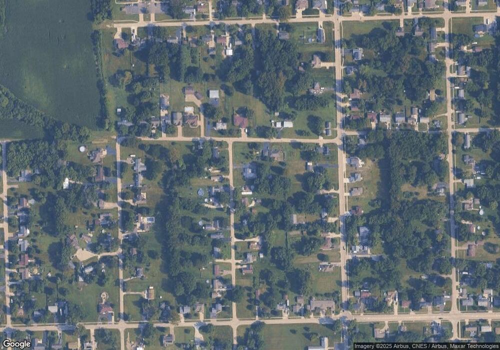
Map
Nearby Homes
- 443 W Main St
- 340 N Walker St
- 495 N Division St
- 470 N Walker St
- 642 W Bergera Rd
- 116 S English St
- 0000 N Division St
- 460 N School St
- 124 S Lincoln St
- 584 N Division St
- 470 N School St
- 605 N Division St
- 000 N Center St
- 248 W Kennedy Rd
- 495 W 6th St
- 910 W Kennedy Rd
- 1055 W Main St
- 1065 W Main St
- 998 W Kennedy Rd
- 571 N Lincoln St
- 175 N Office St
- 173 N Office St
- 545 W 1st St
- 180 N Office St
- 180 N Office St
- 186 N Office St
- 174 N Office St
- 145 N Office St
- 194 N Office St
- 172 N Office St
- 137 N Office St
- 600 W 1st St
- 600 W 1st St
- 138 N Office St
- 184 N Division St
- 550 W 1st St
- 133 N Office St
- 134 N Office St
- 630 W 1st St
- 196 N Division St