179 N Steel Bridge Rd Eatonton, GA 31024
Estimated Value: $420,000 - $531,000
--
Bed
3
Baths
1,531
Sq Ft
$311/Sq Ft
Est. Value
About This Home
This home is located at 179 N Steel Bridge Rd, Eatonton, GA 31024 and is currently estimated at $475,390, approximately $310 per square foot. 179 N Steel Bridge Rd is a home located in Putnam County with nearby schools including Putnam County Primary School, Putnam County Elementary School, and Putnam County Middle School.
Ownership History
Date
Name
Owned For
Owner Type
Purchase Details
Closed on
Apr 23, 2025
Sold by
Farmer John M
Bought by
Farmer Charlie M
Current Estimated Value
Purchase Details
Closed on
May 13, 2021
Sold by
Simmons Louise H
Bought by
Simmons John M
Purchase Details
Closed on
Oct 31, 2013
Sold by
Simmons James M
Bought by
Simmons Louise H
Purchase Details
Closed on
Mar 6, 1991
Sold by
Simmons John M
Bought by
Simmons John M and Simmons Louise H
Create a Home Valuation Report for This Property
The Home Valuation Report is an in-depth analysis detailing your home's value as well as a comparison with similar homes in the area
Home Values in the Area
Average Home Value in this Area
Purchase History
| Date | Buyer | Sale Price | Title Company |
|---|---|---|---|
| Farmer Charlie M | -- | -- | |
| Farmer John M | -- | -- | |
| Farmer John M | $400,000 | -- | |
| Simmons John M | -- | -- | |
| Simmons Louise H | -- | -- | |
| Simmons John M | -- | -- |
Source: Public Records
Tax History Compared to Growth
Tax History
| Year | Tax Paid | Tax Assessment Tax Assessment Total Assessment is a certain percentage of the fair market value that is determined by local assessors to be the total taxable value of land and additions on the property. | Land | Improvement |
|---|---|---|---|---|
| 2024 | $2,510 | $186,208 | $70,000 | $116,208 |
| 2023 | $2,510 | $153,091 | $60,000 | $93,091 |
| 2022 | $2,739 | $146,426 | $60,000 | $86,426 |
| 2021 | $2,526 | $110,874 | $50,000 | $60,874 |
| 2020 | $1,532 | $105,773 | $49,400 | $56,373 |
| 2019 | $1,560 | $117,944 | $52,000 | $65,944 |
| 2018 | $1,687 | $110,420 | $52,000 | $58,420 |
| 2017 | $1,522 | $117,944 | $52,000 | $65,944 |
| 2016 | $1,524 | $117,944 | $52,000 | $65,944 |
| 2015 | $1,466 | $117,944 | $52,000 | $65,944 |
| 2014 | $1,465 | $125,468 | $52,000 | $73,468 |
Source: Public Records
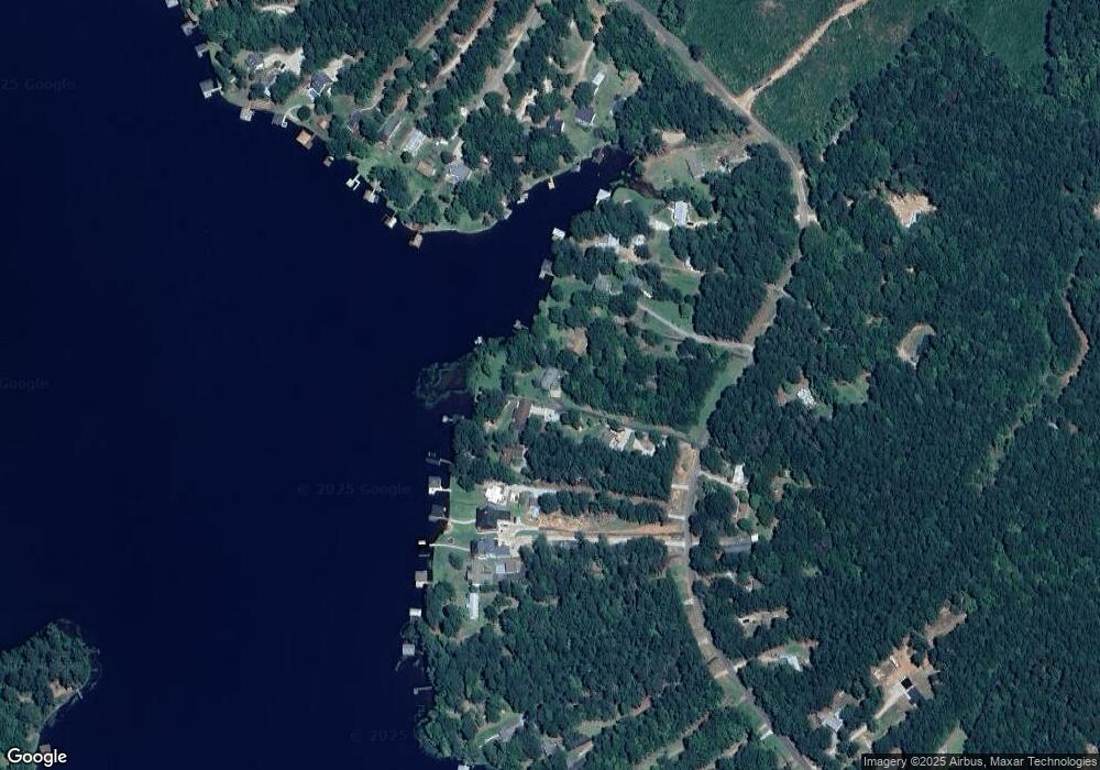
Map
Nearby Homes
- 175 N Steel Bridge Rd
- 197 N Steel Bridge Rd
- 237 N Steel Bridge Rd
- 273 N Steel Bridge Rd
- 271 N Steel Bridge Rd
- LOTS 5&6 Quail Knoll
- Lots 5 & 6 Quail Knoll
- 222 Pinewood Dr
- 126 Woodslake Dr
- 0 Crooked Creek Bay Rd Unit 10599206
- 525 S Steel Bridge Rd
- 260 Old Copelan Rd
- 524 S Steel Bridge Rd
- 184 S Steel Bridge Rd
- 184 Crooked Creek Bay Rd
- 438 S Steel Bridge Rd
- 177 N Steel Bridge Rd
- 181 N Steel Bridge Rd
- 183 N Steel Bridge Rd
- 171 N Steel Bridge Rd
- 185 N Steel Bridge Rd
- 169 N Steel Bridge Rd
- 167 N Steel Bridge Rd
- 161 N Steel Bridge Rd
- 213 N Steel Bridge Rd
- 203 N Steel Bridge Rd
- 205 N Steel Bridge Rd
- 203 N Steel Bridge Rd
- 203 N Steel Bridge Rd
- 207 N Steel Bridge Rd
- 0 N Steel Bridge Rd
- N N Steel Bridge Rd Unit LOT 32-3
- N N Steel Bridge Rd Unit 22-1
- N N Steel Bridge Rd Unit 5-3
- N N Steel Bridge Rd Unit 32
- N N Steel Bridge Rd Unit 37-3