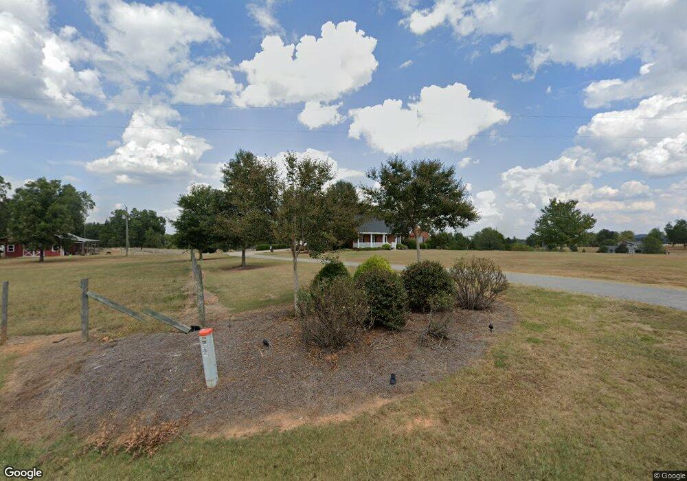
179 Old Milner Rd Barnesville, GA 30204
Estimated Value: $232,000 - $569,909
--
Bed
2
Baths
--
Sq Ft
66.34
Acres
About This Home
This home is located at 179 Old Milner Rd, Barnesville, GA 30204 and is currently estimated at $400,955. 179 Old Milner Rd is a home located in Lamar County with nearby schools including Lamar County Primary School, Lamar County Elementary School, and Lamar County Middle School.
Ownership History
Date
Name
Owned For
Owner Type
Purchase Details
Closed on
Nov 8, 2016
Sold by
Bruce L
Bought by
Loggins Adrienne A and Loggins Wade H
Current Estimated Value
Purchase Details
Closed on
Nov 12, 2012
Sold by
Smith Carol A
Bought by
Akins Bruce L
Purchase Details
Closed on
Sep 15, 2011
Sold by
Smith Carol A
Bought by
Loggins Wade H
Home Financials for this Owner
Home Financials are based on the most recent Mortgage that was taken out on this home.
Original Mortgage
$148,400
Interest Rate
4.24%
Mortgage Type
New Conventional
Purchase Details
Closed on
Sep 1, 1989
Sold by
Akins Lamar
Bought by
Smith Carol A
Purchase Details
Closed on
Oct 1, 1986
Sold by
Piper Barbara
Bought by
Akins Bruce L
Create a Home Valuation Report for This Property
The Home Valuation Report is an in-depth analysis detailing your home's value as well as a comparison with similar homes in the area
Home Values in the Area
Average Home Value in this Area
Purchase History
| Date | Buyer | Sale Price | Title Company |
|---|---|---|---|
| Loggins Adrienne A | -- | -- | |
| Akins Bruce L | -- | -- | |
| Loggins Wade H | $185,500 | -- | |
| Smith Carol A | -- | -- | |
| Akins Bruce L | -- | -- |
Source: Public Records
Mortgage History
| Date | Status | Borrower | Loan Amount |
|---|---|---|---|
| Previous Owner | Loggins Wade H | $148,400 |
Source: Public Records
Tax History Compared to Growth
Tax History
| Year | Tax Paid | Tax Assessment Tax Assessment Total Assessment is a certain percentage of the fair market value that is determined by local assessors to be the total taxable value of land and additions on the property. | Land | Improvement |
|---|---|---|---|---|
| 2025 | $486 | $76,516 | $76,516 | $0 |
| 2024 | $486 | $76,516 | $76,516 | $0 |
| 2023 | $509 | $76,516 | $76,516 | $0 |
| 2022 | $511 | $96,638 | $96,638 | $0 |
| 2021 | $541 | $71,731 | $71,731 | $0 |
| 2020 | $553 | $75,576 | $75,576 | $0 |
| 2019 | $539 | $75,576 | $75,576 | $0 |
| 2018 | $502 | $75,576 | $75,576 | $0 |
| 2017 | $486 | $75,576 | $75,576 | $0 |
| 2016 | $472 | $75,576 | $75,576 | $0 |
| 2015 | $458 | $75,576 | $75,576 | $0 |
| 2014 | $431 | $75,576 | $75,576 | $0 |
| 2013 | -- | $75,576 | $75,576 | $0 |
Source: Public Records
Map
Nearby Homes
- 0 Old Milner Rd Unit 10630085
- 746 Highway 18 W
- 0 Piedmont Rd Unit 10600733
- 967 Five Points Rd
- 0 Washington Cir
- 295 Grove St
- 13 Brown St
- 113 Heatherwood Ln
- 254 Needleleaf Dr
- 500 Rose Ave
- 420 Zebulon St
- 339 Atlanta St
- 245 Atlanta St
- 0 Silver Dollar Rd Unit 10552561
- 125 Byrd St
- 250 Mill St
- 704 Old Milner Rd
- 0 Mill St Unit 10420113
- 531 Thomaston St
- 0 Main St Unit 10586668
- 149 Old Milner Rd
- 208 Cannafax Rd
- 213 Cannafax Rd
- 825 Highway 18 W
- 801 Highway 18 W
- 227 Cannafax Rd
- 171 Cannafax Rd
- 217 Cannafax Rd
- 789 Highway 18 W
- 179 Cannafax Rd
- 134 Cannafax Rd
- 798 Georgia 18
- 777 Highway 18 W
- 144 Cannafax Rd
- 865 Highway 18 W
- 0 Adkins Rd Unit 7194665
- 0 Adkins Rd Unit Parcel 6 8954575
- 0 Adkins Rd Unit 8091409
- 22AC Cannafax Rd Unit 7
- 798 Highway 18 W