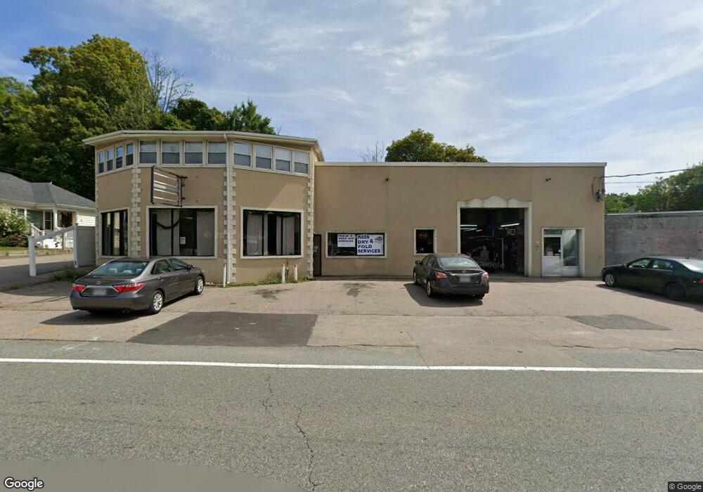
179 Park St Unit 1 North Attleboro, MA 02760
North Attleboro NeighborhoodEstimated Value: $825,305
3
Beds
2
Baths
2,156
Sq Ft
$383/Sq Ft
Est. Value
About This Home
This home is located at 179 Park St Unit 1, North Attleboro, MA 02760 and is currently estimated at $825,305, approximately $382 per square foot. 179 Park St Unit 1 is a home located in Bristol County with nearby schools including North Attleboro High School.
Ownership History
Date
Name
Owned For
Owner Type
Purchase Details
Closed on
Jun 20, 2000
Sold by
Mitchell Rt
Bought by
S & S Inc
Current Estimated Value
Home Financials for this Owner
Home Financials are based on the most recent Mortgage that was taken out on this home.
Original Mortgage
$200,000
Outstanding Balance
$70,608
Interest Rate
8.24%
Mortgage Type
Commercial
Estimated Equity
$754,697
Create a Home Valuation Report for This Property
The Home Valuation Report is an in-depth analysis detailing your home's value as well as a comparison with similar homes in the area
Home Values in the Area
Average Home Value in this Area
Purchase History
| Date | Buyer | Sale Price | Title Company |
|---|---|---|---|
| S & S Inc | $230,000 | -- |
Source: Public Records
Mortgage History
| Date | Status | Borrower | Loan Amount |
|---|---|---|---|
| Open | S & S Inc | $200,000 |
Source: Public Records
Tax History Compared to Growth
Tax History
| Year | Tax Paid | Tax Assessment Tax Assessment Total Assessment is a certain percentage of the fair market value that is determined by local assessors to be the total taxable value of land and additions on the property. | Land | Improvement |
|---|---|---|---|---|
| 2025 | $0 | $615,200 | $189,700 | $425,500 |
| 2024 | $6,481 | $615,200 | $189,700 | $425,500 |
| 2023 | $0 | $580,500 | $189,700 | $390,800 |
| 2022 | $6,481 | $484,600 | $158,100 | $326,500 |
| 2021 | $4,859 | $374,800 | $160,600 | $214,200 |
| 2020 | $4,616 | $369,100 | $160,600 | $208,500 |
| 2019 | $0 | $369,100 | $160,600 | $208,500 |
| 2018 | $0 | $353,600 | $153,800 | $199,800 |
| 2017 | $4,274 | $353,600 | $153,800 | $199,800 |
| 2016 | $4,274 | $323,300 | $146,500 | $176,800 |
| 2015 | $4,248 | $323,300 | $146,500 | $176,800 |
| 2014 | $4,280 | $323,300 | $146,500 | $176,800 |
Source: Public Records
Map
Nearby Homes
- 35-R Whiting St
- 45 Moran St
- 64 Smith St
- 2 Franklin Ave
- 271 N Washington St
- 34 Hawthorne St
- 194 Smith St
- 157 Fisher St
- 39 Columbia St
- 633 E Washington St Unit 17
- 835 Mt Hope St Unit 39
- 68 N Washington St Unit 210
- 19 Church St Unit C9
- 0 Landry 2nd Unit 73350867
- 12 Houde St
- 29 Broad St
- 16 Richards Ave Unit 106
- 93 Bank St
- 19 Valerie Dr
- 711 Mount Hope St Unit 13
- 193 Park St
- 432 N Washington St
- 436 N Washington St
- 436 N Washington St
- 436 N Washington St Unit 1
- 426 N Washington St
- 426 N Washington St Unit 2
- 440 N Washington St
- 188 Park St Unit 1
- 188 Park St
- 190 Park St
- 190 Park St Unit 1
- 190 Park St Unit 2
- 173 Park St
- 424 N Washington St
- 424 N Washington St Unit 3
- 424 N Washington St Unit 2
- 444 N Washington St
- 199 Park St
- 198 Park St