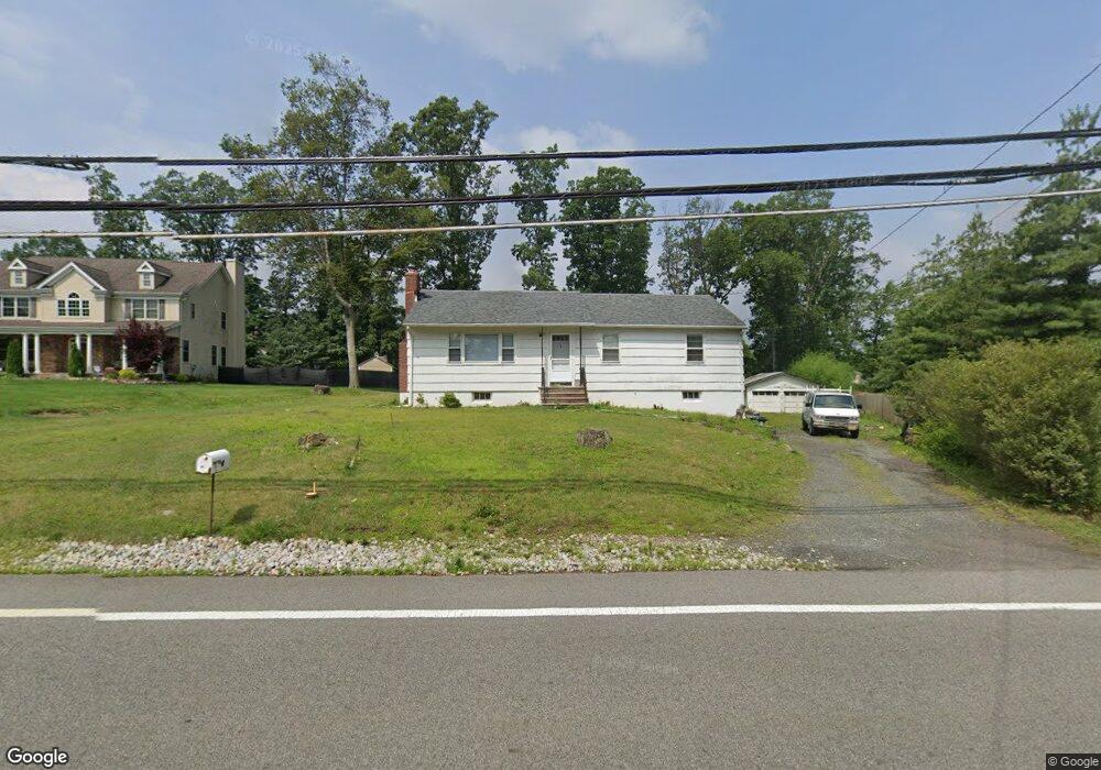
179 Parsippany Rd Whippany, NJ 07981
Estimated Value: $506,000 - $581,000
--
Bed
--
Bath
1,242
Sq Ft
$440/Sq Ft
Est. Value
About This Home
This home is located at 179 Parsippany Rd, Whippany, NJ 07981 and is currently estimated at $546,796, approximately $440 per square foot. 179 Parsippany Rd is a home located in Morris County with nearby schools including Whippany Park High School, Arrow Academy, and The Morristown-Beard School.
Ownership History
Date
Name
Owned For
Owner Type
Purchase Details
Closed on
Dec 12, 2019
Sold by
Twill Peter and Twill George
Bought by
Rudella David J
Current Estimated Value
Home Financials for this Owner
Home Financials are based on the most recent Mortgage that was taken out on this home.
Original Mortgage
$150,000
Outstanding Balance
$132,505
Interest Rate
3.7%
Mortgage Type
New Conventional
Estimated Equity
$414,291
Create a Home Valuation Report for This Property
The Home Valuation Report is an in-depth analysis detailing your home's value as well as a comparison with similar homes in the area
Home Values in the Area
Average Home Value in this Area
Purchase History
| Date | Buyer | Sale Price | Title Company |
|---|---|---|---|
| Rudella David J | $345,000 | Ats Title Agency Inc |
Source: Public Records
Mortgage History
| Date | Status | Borrower | Loan Amount |
|---|---|---|---|
| Open | Rudella David J | $150,000 |
Source: Public Records
Tax History Compared to Growth
Tax History
| Year | Tax Paid | Tax Assessment Tax Assessment Total Assessment is a certain percentage of the fair market value that is determined by local assessors to be the total taxable value of land and additions on the property. | Land | Improvement |
|---|---|---|---|---|
| 2025 | $7,112 | $337,400 | $201,900 | $135,500 |
| 2024 | $7,082 | $337,400 | $201,900 | $135,500 |
| 2023 | $7,082 | $337,400 | $201,900 | $135,500 |
| 2022 | $6,478 | $337,400 | $201,900 | $135,500 |
| 2021 | $6,134 | $337,400 | $201,900 | $135,500 |
| 2020 | $6,363 | $337,400 | $201,900 | $135,500 |
| 2019 | $6,384 | $337,400 | $201,900 | $135,500 |
| 2018 | $6,272 | $337,400 | $201,900 | $135,500 |
| 2017 | $6,087 | $337,400 | $201,900 | $135,500 |
| 2016 | $5,999 | $337,400 | $201,900 | $135,500 |
| 2015 | $5,509 | $337,400 | $201,900 | $135,500 |
| 2014 | $5,385 | $337,400 | $201,900 | $135,500 |
Source: Public Records
Map
Nearby Homes
- 92 Sunrise Dr
- 709 Brook Hollow Dr Unit 709
- 96 Parsippany Rd
- 39 Lefke Ln
- 26 Gladstone Ct
- 42 Gladstone Ct
- 34 Gladstone Ct
- 14 Gladstone Ct
- Monterey Plan at The Grove - The Monterey Collection
- Pershing Plan at The Grove - The Pershing Collection
- 11 Nemic Ln
- 53 Westminster Dr
- 2003 Vermont Terrace Unit 2003
- 26 David Dr
- 3306 Appleton Way
- 91 Rhyan Dr
- 79 Rhyan Dr
- 72 Schindler Ct
- 22 Karla Dr
- 89 Schindler Ct
- 183 Parsippany Rd
- 5 Mapleshade Dr
- 175 Parsippany Rd
- 5 Maple Shade Dr
- 7 Mapleshade Dr
- 187 Parsippany Rd
- 3 Mapleshade Dr
- 176 Parsippany Rd
- 1 Mapleshade Dr
- 189 Parsippany Rd
- 184 Parsippany Rd
- 2 Nye Ave
- 168 Parsippany Rd
- 188 Parsippany Rd
- 191 Parsippany Rd
- 186 Parsippany Rd
- 34 Woodland Ave
- 4 Mapleshade Dr
- 36 Woodland Ave
- 195 Parsippany Rd