179 Patrick Rd Tewksbury, MA 01876
Estimated Value: $500,342 - $511,000
2
Beds
2
Baths
1,761
Sq Ft
$288/Sq Ft
Est. Value
About This Home
This home is located at 179 Patrick Rd, Tewksbury, MA 01876 and is currently estimated at $506,836, approximately $287 per square foot. 179 Patrick Rd is a home located in Middlesex County with nearby schools including John W. Wynn Middle School, John F. Ryan Elementary School, and Tewksbury Memorial High School.
Ownership History
Date
Name
Owned For
Owner Type
Purchase Details
Closed on
Oct 28, 1999
Sold by
Vokey Patricia
Bought by
Colgan Gloria J
Current Estimated Value
Home Financials for this Owner
Home Financials are based on the most recent Mortgage that was taken out on this home.
Original Mortgage
$77,000
Outstanding Balance
$23,561
Interest Rate
7.78%
Mortgage Type
Purchase Money Mortgage
Estimated Equity
$483,275
Create a Home Valuation Report for This Property
The Home Valuation Report is an in-depth analysis detailing your home's value as well as a comparison with similar homes in the area
Home Values in the Area
Average Home Value in this Area
Purchase History
| Date | Buyer | Sale Price | Title Company |
|---|---|---|---|
| Colgan Gloria J | $156,000 | -- |
Source: Public Records
Mortgage History
| Date | Status | Borrower | Loan Amount |
|---|---|---|---|
| Open | Colgan Gloria J | $77,000 | |
| Previous Owner | Colgan Gloria J | $108,000 |
Source: Public Records
Tax History Compared to Growth
Tax History
| Year | Tax Paid | Tax Assessment Tax Assessment Total Assessment is a certain percentage of the fair market value that is determined by local assessors to be the total taxable value of land and additions on the property. | Land | Improvement |
|---|---|---|---|---|
| 2025 | $5,683 | $429,900 | $0 | $429,900 |
| 2024 | $5,406 | $403,700 | $0 | $403,700 |
| 2023 | $5,314 | $376,900 | $0 | $376,900 |
| 2022 | $4,753 | $312,700 | $0 | $312,700 |
| 2021 | $4,656 | $296,200 | $0 | $296,200 |
| 2020 | $4,625 | $289,600 | $0 | $289,600 |
| 2019 | $4,080 | $257,600 | $0 | $257,600 |
| 2018 | $3,912 | $242,500 | $0 | $242,500 |
| 2017 | $3,673 | $225,200 | $0 | $225,200 |
| 2016 | $3,486 | $213,200 | $0 | $213,200 |
| 2015 | $3,127 | $191,000 | $0 | $191,000 |
| 2014 | $2,979 | $184,900 | $0 | $184,900 |
Source: Public Records
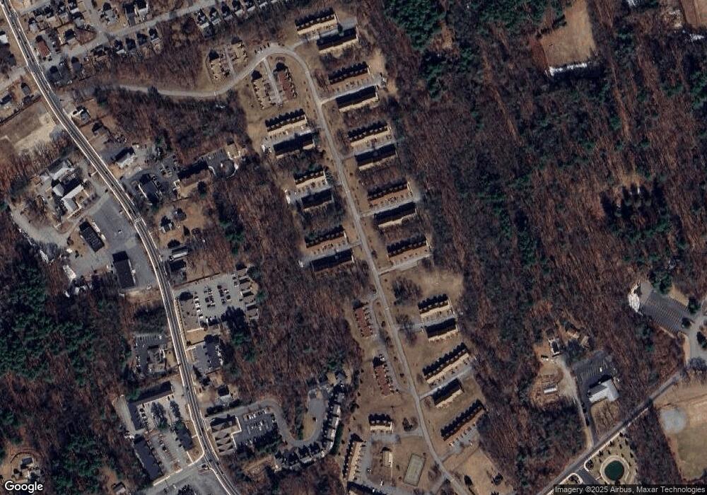
Map
Nearby Homes
- 1455 Main St Unit 8
- 1455 Main St Unit 4
- 1455 Main St Unit 10
- 134 Patrick Rd
- 111 Patrick Rd Unit 111
- 61 Patrick Rd
- 72 Patrick Rd Unit 72
- 6 Stonebury Way Unit 6
- 1325 Main
- 11 Orchard St
- 548 Chandler St
- 6 Coburn Ave
- 8 Boisvert Rd
- 16 Eagle Dr
- 93 Fairway Dr
- 127 Caddy Ct
- 13 Berkeley
- 100 Pleasant St Unit 14
- 31 Marie St
- 7 Wamesit Rd
- 180 Patrick Rd
- 178 Patrick Rd
- 177 Patrick Rd
- 148 Patrick Rd
- 147 Patrick Rd
- 146 Patrick Rd
- 145 Patrick Rd
- 144 Patrick Rd
- 143 Patrick Rd
- 143 Patrick Rd Unit 143`
- 147 Patrick Rd Unit 147
- 147 Patrick Rd Unit 187
- 188 Patrick Rd
- 187 Patrick Rd
- 186 Patrick Rd
- 185 Patrick Rd
- 184 Patrick Rd
- 183 Patrick Rd
- 182 Patrick Rd
- 181 Patrick Rd