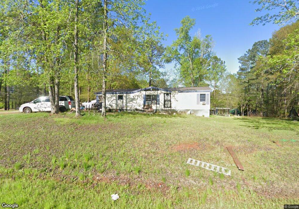
179 Possum Point Dr Eatonton, GA 31024
Estimated Value: $86,803 - $364,000
--
Bed
--
Bath
1,200
Sq Ft
$189/Sq Ft
Est. Value
About This Home
This home is located at 179 Possum Point Dr, Eatonton, GA 31024 and is currently estimated at $226,601, approximately $188 per square foot. 179 Possum Point Dr is a home with nearby schools including Putnam County Primary School, Putnam County Elementary School, and Putnam County Middle School.
Ownership History
Date
Name
Owned For
Owner Type
Purchase Details
Closed on
Oct 15, 2002
Sold by
Thompson Steven W
Bought by
Wallace Marvin H and Wallace Juanita J
Current Estimated Value
Purchase Details
Closed on
Nov 9, 2001
Sold by
Thompson Steven W
Bought by
Thompson Charles K
Purchase Details
Closed on
May 10, 1991
Sold by
Ingram Kenneth Dan
Bought by
Thompson Betty
Purchase Details
Closed on
Jan 23, 1988
Sold by
Daughtry Robert
Bought by
Ingram Kenneth Dan
Purchase Details
Closed on
Jan 29, 1986
Sold by
Daughtry Robert R
Bought by
Ingram Kenneth Dan
Create a Home Valuation Report for This Property
The Home Valuation Report is an in-depth analysis detailing your home's value as well as a comparison with similar homes in the area
Home Values in the Area
Average Home Value in this Area
Purchase History
| Date | Buyer | Sale Price | Title Company |
|---|---|---|---|
| Wallace Marvin H | -- | -- | |
| Thompson Charles K | -- | -- | |
| Thompson Steven W | -- | -- | |
| Thompson Betty | $5,300 | -- | |
| Ingram Kenneth Dan | -- | -- | |
| Ingram Kenneth Dan | $6,200 | -- |
Source: Public Records
Tax History Compared to Growth
Tax History
| Year | Tax Paid | Tax Assessment Tax Assessment Total Assessment is a certain percentage of the fair market value that is determined by local assessors to be the total taxable value of land and additions on the property. | Land | Improvement |
|---|---|---|---|---|
| 2024 | $188 | $10,897 | $10,000 | $897 |
| 2023 | $188 | $7,048 | $0 | $7,048 |
| 2022 | $120 | $6,000 | $6,000 | $0 |
| 2021 | $118 | $5,200 | $5,200 | $0 |
| 2020 | $332 | $13,909 | $5,200 | $8,709 |
| 2019 | $345 | $14,562 | $5,200 | $9,362 |
| 2018 | $350 | $14,562 | $5,200 | $9,362 |
| 2017 | $316 | $14,562 | $5,200 | $9,362 |
| 2016 | $326 | $15,368 | $5,200 | $10,168 |
| 2015 | $314 | $14,427 | $5,200 | $9,228 |
| 2014 | $314 | $14,428 | $5,200 | $9,228 |
Source: Public Records
Map
Nearby Homes
- 106 Whipporwill Ct
- 128 Turtle Ct
- 154 Possum Point Dr
- 114 Robin Ct
- 103 Fawn Ct
- 105 Flatrock Cir
- 114 Oak Leaf Cir
- 130 Flatrock Rd
- 0 Possum Point Dr Unit 48055
- 0 Pine Knoll Ln Unit 10595913
- 168 Oak Leaf Cir
- 166 Oak Leaf Cir
- 106 Birch Cove
- 388 Possum Point Dr
- 000 Pine Knoll Ln
- 194 Deerfield Ln
- 131 Twin Bridges Rd
- l Brer Rabbit Trail
- 384 Scuffleboro Rd
- 108 S Cay Dr SE
- 184 Possum Point Dr
- 190 Possum Point Dr
- 194 Possum Point Dr
- 162 Possum Point Dr
- 116 Possum Point Cir
- 112 Possum Point Cir
- 110 Possum Point Cir
- 114 Possum Point Cir
- 158 Possum Point Dr
- 108 Possum Point Cir
- 112 Possum Point Cir
- 200 Possum Point Dr
- 170 Possum Point Dr
- 168 Possum Point Dr
- 105 Whipporwill Ct
- 101 Whipporwill Ct
- 101 Whipporwill Ct
- 102 Possum Point Cir
- 187 Possum Point Dr
- 204 Possum Point Dr