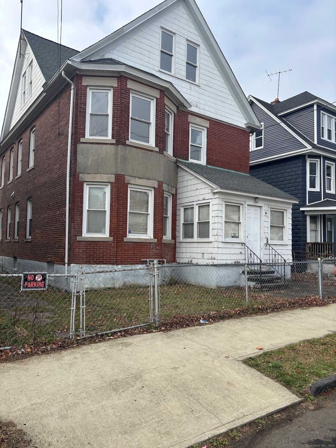
179 Read St Bridgeport, CT 06607
East End NeighborhoodEstimated payment $2,816/month
About This Home
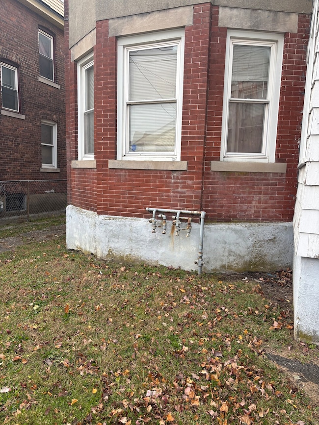
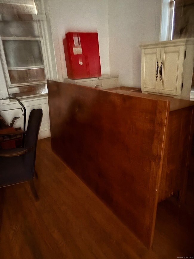
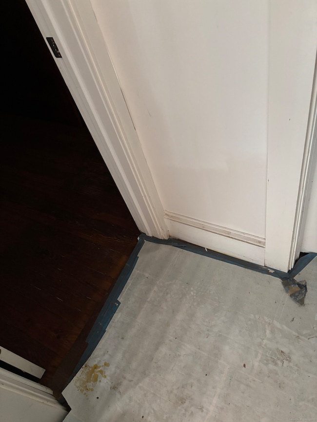
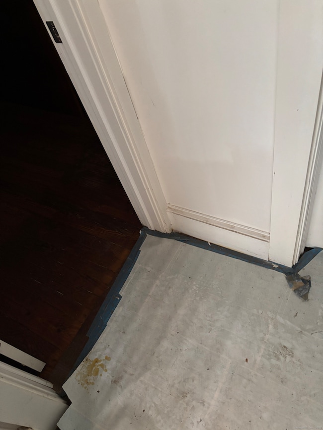
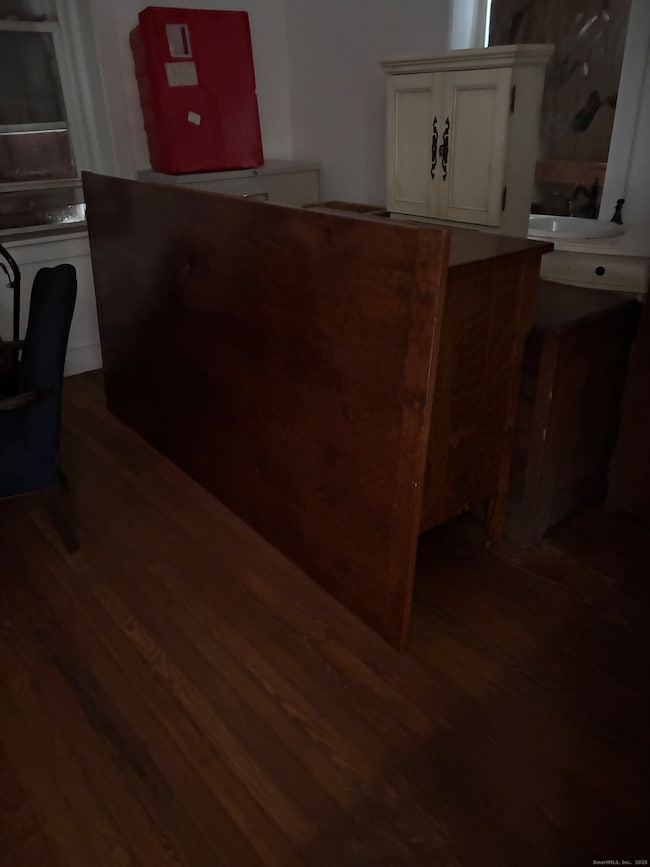
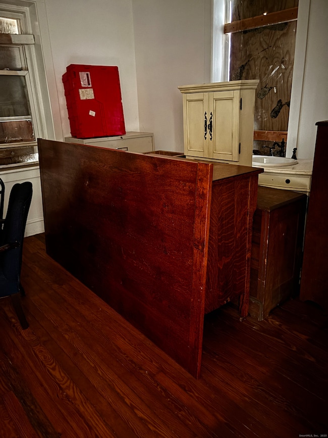
DESIRABLE 2-FAMILY PROPERTY FEATURING A BONUS 3RD FLOOR, OFFERING TREMENDOUS UPSIDE AND INCOME POTENTIAL. THE OWNER HAS ALREADY COMPLETED MAJOR INTERIOR RENOVATIONS WITH ONLY MINIMAL WORK LEFT TO FINISH-MAKING THIS AN INCREDIBLE OPPORTUNITY FOR THE NEXT OWNER TO ADD VALUE AND BUILD EQUITY. RECENT UPGRADES INCLUDE NEW WINDOWS, DOORS, PLUMBING, AND ELECTRICAL, PROVIDING A STRONG FOUNDATION FOR LONG-TERM OWNERSHIP. THE PROPERTY ALSO FEATM NING, ALONG WITH OFF-STREET PARKING FOR ADDED CONVENIENCE. BOTH FLOORS ARE CURRENTLY AVAILABLE, MAKING THIS A PERFECT OWNER-OCCUPANT OPPORTUNITY-LIVE ON ONE FLOOR AND RENT THE OTHER TO OFFSET YOUR MORTGAGE. EASY TO SHOW. CASH OR REHAB LOAN PREFERRED. SUBJECT TO PROBATE APPROVAL WITH A 30-DAY WAITING PERIOD AFTER OFFER IS ACCEPTED.
Listing Agent
Tri-State Realty Brokerage Phone: (203) 232-5523 License #REB.0614856 Listed on: 11/29/2025
Property Details
Home Type
- Multi-Family
Est. Annual Taxes
- $6,931
Year Built
- Built in 1912
Lot Details
- 3,920 Sq Ft Lot
- Level Lot
Home Design
- Concrete Foundation
- Frame Construction
- Asphalt Shingled Roof
- Masonry Siding
Interior Spaces
- 3,205 Sq Ft Home
- Basement Fills Entire Space Under The House
Bedrooms and Bathrooms
- 4 Bedrooms
- 2 Full Bathrooms
Utilities
- Window Unit Cooling System
- Heating System Uses Natural Gas
Community Details
- 2 Units
Listing and Financial Details
- Assessor Parcel Number 13963
Map
Home Values in the Area
Average Home Value in this Area
Tax History
| Year | Tax Paid | Tax Assessment Tax Assessment Total Assessment is a certain percentage of the fair market value that is determined by local assessors to be the total taxable value of land and additions on the property. | Land | Improvement |
|---|---|---|---|---|
| 2025 | $6,931 | $159,510 | $30,970 | $128,540 |
| 2024 | $6,931 | $159,510 | $30,970 | $128,540 |
| 2023 | $6,931 | $159,510 | $30,970 | $128,540 |
| 2022 | $6,931 | $159,510 | $30,970 | $128,540 |
| 2021 | $6,931 | $159,510 | $30,970 | $128,540 |
| 2020 | $6,613 | $122,490 | $17,330 | $105,160 |
| 2019 | $6,613 | $122,490 | $17,330 | $105,160 |
| 2018 | $6,660 | $122,490 | $17,330 | $105,160 |
| 2017 | $6,660 | $122,490 | $17,330 | $105,160 |
| 2016 | $6,660 | $122,490 | $17,330 | $105,160 |
| 2015 | $3,840 | $91,000 | $29,690 | $61,310 |
| 2014 | $3,840 | $91,000 | $29,690 | $61,310 |
Property History
| Date | Event | Price | List to Sale | Price per Sq Ft |
|---|---|---|---|---|
| 11/29/2025 11/29/25 | For Sale | $425,000 | -- | $133 / Sq Ft |
Purchase History
| Date | Type | Sale Price | Title Company |
|---|---|---|---|
| Warranty Deed | $36,000 | -- | |
| Warranty Deed | $36,000 | -- | |
| Foreclosure Deed | -- | -- | |
| Foreclosure Deed | -- | -- | |
| Warranty Deed | $17,000 | -- | |
| Warranty Deed | $17,000 | -- | |
| Deed | $140,000 | -- |
Mortgage History
| Date | Status | Loan Amount | Loan Type |
|---|---|---|---|
| Previous Owner | $225,000 | No Value Available | |
| Previous Owner | $140,000 | No Value Available |
Source: SmartMLS
MLS Number: 24142672
APN: BRID-000639-000011
Disclaimer: Certain information contained herein is derived from information provided by parties other than Homes.com. All information provided is deemed reliable, but is not guaranteed to be accurate and should be independently verified.
![]() IDX information is provided exclusively for personal, non-commercial use, and may not be used for any purpose other than to identify prospective properties consumers may be interested in purchasing. Information is deemed reliable but not guaranteed.
IDX information is provided exclusively for personal, non-commercial use, and may not be used for any purpose other than to identify prospective properties consumers may be interested in purchasing. Information is deemed reliable but not guaranteed.
- 1034 Connecticut Ave
- 68 Edwin St Unit 70
- 1440 Stratford Ave
- 557 Wilmot #6 Ave
- 306 Carroll Ave
- 363 Carroll Ave Unit 365
- 785 Connecticut Ave Unit 2
- 580 Wilmot Ave Unit 2
- 610 Wilmot Ave Unit 4
- 591 Wilmot Ave Unit 3
- 408 Union Ave
- 566 Wilmot Ave Unit 4
- 320 Union Ave
- 819 Connecticut Ave Unit 6
- 49 Bunnell St Unit 51
- 221 Bunnell St
- 54 6th St
- 643 Newfield Ave Unit 645
- 1189 Central Ave
- 247 6th St
- 287 Davenport St Unit 2
- 142 Cowles St Unit 144
- 1755 Stratford Ave
- 10 Beatrice St Unit 3
- 463 Logan St Unit 3
- 463 Logan St Unit 3
- 1841-1853 Stratford Ave
- 217 Hollister Ave Unit a8
- 217 Hollister Ave Unit b5
- 1873 Stratford Ave Unit 14
- 1873 Stratford Ave Unit 11
- 481 Hollister Ave Unit 483
- 1406 Stratford Ave Unit 1410 Stratford unit
- 196 Wilmot Ave
- 532 Carroll Ave Unit 2
- 565 Carroll Ave Unit 2
- 1322 Stratford Ave
- 424 Union Ave Unit 424
- 324 Union Ave
- 109 Elizabeth St Unit 2
