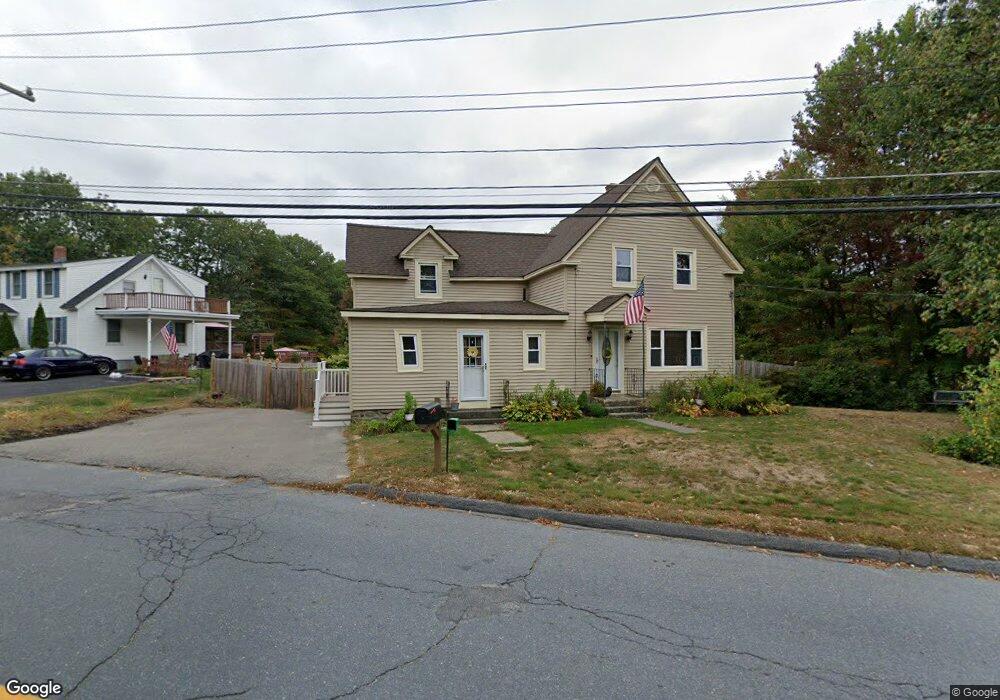
179 Rollstone Rd Fitchburg, MA 01420
Estimated Value: $434,430 - $468,000
3
Beds
1
Bath
1,760
Sq Ft
$255/Sq Ft
Est. Value
About This Home
This home is located at 179 Rollstone Rd, Fitchburg, MA 01420 and is currently estimated at $449,358, approximately $255 per square foot. 179 Rollstone Rd is a home located in Worcester County with nearby schools including South Street Elementary School, Reingold Elementary School, and Crocker Elementary School.
Ownership History
Date
Name
Owned For
Owner Type
Purchase Details
Closed on
Dec 17, 2021
Sold by
Vincent-Caron Elizabeth
Bought by
Brown Michael
Current Estimated Value
Purchase Details
Closed on
Dec 15, 2021
Sold by
Brown Andrea M Est
Bought by
Brown Michael and Vincent-Caron Elizabeth
Purchase Details
Closed on
Apr 11, 1988
Sold by
Vincent Gerard L
Bought by
Vincent A M
Create a Home Valuation Report for This Property
The Home Valuation Report is an in-depth analysis detailing your home's value as well as a comparison with similar homes in the area
Home Values in the Area
Average Home Value in this Area
Purchase History
| Date | Buyer | Sale Price | Title Company |
|---|---|---|---|
| Brown Michael | -- | None Available | |
| Brown Michael | -- | None Available | |
| Vincent A M | $30,000 | -- |
Source: Public Records
Mortgage History
| Date | Status | Borrower | Loan Amount |
|---|---|---|---|
| Previous Owner | Vincent A M | $140,000 | |
| Previous Owner | Vincent A M | $44,000 | |
| Previous Owner | Vincent A M | $41,900 |
Source: Public Records
Tax History Compared to Growth
Tax History
| Year | Tax Paid | Tax Assessment Tax Assessment Total Assessment is a certain percentage of the fair market value that is determined by local assessors to be the total taxable value of land and additions on the property. | Land | Improvement |
|---|---|---|---|---|
| 2025 | $46 | $338,900 | $110,300 | $228,600 |
| 2024 | $4,524 | $305,500 | $81,300 | $224,200 |
| 2023 | $4,482 | $279,800 | $69,100 | $210,700 |
| 2022 | $4,422 | $251,100 | $62,800 | $188,300 |
| 2021 | $4,360 | $229,100 | $61,300 | $167,800 |
| 2020 | $3,966 | $201,200 | $58,300 | $142,900 |
| 2019 | $3,664 | $178,800 | $57,200 | $121,600 |
| 2018 | $3,437 | $163,600 | $56,600 | $107,000 |
| 2017 | $3,301 | $153,600 | $56,600 | $97,000 |
| 2016 | $3,235 | $152,400 | $56,600 | $95,800 |
| 2015 | $3,079 | $148,900 | $55,000 | $93,900 |
| 2014 | $3,008 | $151,700 | $58,000 | $93,700 |
Source: Public Records
Map
Nearby Homes
- 44 Bel Air Dr
- 0 Franklin Rd-Lots1-7 Unit 72947330
- 41 Lee Ave
- 83 Eleanor St
- 162 Delisle St
- 27 Clifton St
- 32 Clifton St
- 20 Silver St
- 484 Rollstone St
- 216 Clarendon St
- 48 Woodworth Ave
- 35 Bernadette St
- 62 Frankfort St
- 16 Quarter Horse Ln Unit 59AA
- 179 Pratt St
- 465 Franklin Rd
- 50 Frankfort St Unit 6
- 5 Quarter Horse Ln Unit 5
- 108-R Pratt St
- 126 Saddlebred Rd Unit 63BB