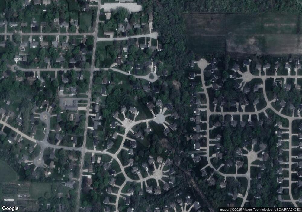
179 Sandstone Dr Painesville, OH 44077
Estimated Value: $290,000 - $356,000
3
Beds
2
Baths
1,729
Sq Ft
$182/Sq Ft
Est. Value
About This Home
This home is located at 179 Sandstone Dr, Painesville, OH 44077 and is currently estimated at $315,297, approximately $182 per square foot. 179 Sandstone Dr is a home located in Lake County with nearby schools including Henry F. Lamuth Middle School, Riverside Junior/Senior High School, and Summit Academy Community School - Painesville.
Ownership History
Date
Name
Owned For
Owner Type
Purchase Details
Closed on
Apr 22, 2002
Sold by
R W Sidley Inc
Bought by
Simpson Robert A and Simpson Terry A
Current Estimated Value
Home Financials for this Owner
Home Financials are based on the most recent Mortgage that was taken out on this home.
Original Mortgage
$143,200
Outstanding Balance
$63,093
Interest Rate
6.93%
Estimated Equity
$252,204
Create a Home Valuation Report for This Property
The Home Valuation Report is an in-depth analysis detailing your home's value as well as a comparison with similar homes in the area
Home Values in the Area
Average Home Value in this Area
Purchase History
| Date | Buyer | Sale Price | Title Company |
|---|---|---|---|
| Simpson Robert A | $39,000 | Chicago Title Insurance Comp |
Source: Public Records
Mortgage History
| Date | Status | Borrower | Loan Amount |
|---|---|---|---|
| Open | Simpson Robert A | $143,200 | |
| Closed | Simpson Robert A | $38,000 |
Source: Public Records
Tax History Compared to Growth
Tax History
| Year | Tax Paid | Tax Assessment Tax Assessment Total Assessment is a certain percentage of the fair market value that is determined by local assessors to be the total taxable value of land and additions on the property. | Land | Improvement |
|---|---|---|---|---|
| 2024 | -- | $102,310 | $21,150 | $81,160 |
| 2023 | $7,903 | $72,520 | $19,150 | $53,370 |
| 2022 | $4,240 | $72,520 | $19,150 | $53,370 |
| 2021 | $4,256 | $72,520 | $19,150 | $53,370 |
| 2020 | $4,192 | $63,060 | $16,650 | $46,410 |
| 2019 | $4,224 | $63,060 | $16,650 | $46,410 |
| 2018 | $4,372 | $65,170 | $18,380 | $46,790 |
| 2017 | $4,507 | $65,170 | $18,380 | $46,790 |
| 2016 | $3,966 | $65,170 | $18,380 | $46,790 |
| 2015 | $3,730 | $65,170 | $18,380 | $46,790 |
| 2014 | $3,791 | $65,170 | $18,380 | $46,790 |
| 2013 | $3,705 | $65,170 | $18,380 | $46,790 |
Source: Public Records
Map
Nearby Homes
- 1182 Dalton Dr
- 1172 Dalton Dr
- 44 Grove Ave
- 58 Deerfield Dr
- 43 Bristol Ave
- 396 Park Rd
- 65 Tanners Farm Dr
- 67 Tanners Farm Dr
- V/L Morgan Dr
- 500 Park Rd
- 238 Radley Dr
- 5406 Pebble Creek Ln
- 65 Country Ln
- 30 Orton Rd
- 525 Morgan Dr
- 104 Overlook Rd
- 1104 Fanwood Ct
- 85 Nelmar Dr
- 48 Nelmar Dr
- 0 N Ridge Rd Unit 5110949
- 189 Sandstone Dr
- 169 Sandstone Dr
- 1324 Pond Haven Ct
- 1334 Pond Haven Ct
- 1314 Pond Haven Ct
- 199 Sandstone Dr
- 159 Sandstone Dr
- 1344 Pond Haven Ct
- 176 Sandstone Dr
- 206 Sandstone Dr
- 156 Sandstone Dr
- 149 Sandstone Dr
- 196 Sandstone Dr
- 1350 Pond Haven Ct
- 139 Sandstone Dr
- 186 Sandstone Dr
- 1335 Pond Haven Ct
- 1325 Pond Haven Ct
- 126 Sandstone Dr
- 1345 Pond Haven Ct
