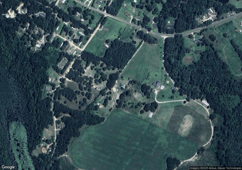
179 Summer Ln Lillington, NC 27546
Estimated Value: $59,181 - $229,000
2
Beds
2
Baths
858
Sq Ft
$168/Sq Ft
Est. Value
About This Home
This home is located at 179 Summer Ln, Lillington, NC 27546 and is currently estimated at $144,091, approximately $167 per square foot. 179 Summer Ln is a home located in Harnett County with nearby schools including Lillington-Shawtown Elementary School, Harnett Central Middle School, and Harnett Central High School.
Ownership History
Date
Name
Owned For
Owner Type
Purchase Details
Closed on
Jan 16, 2017
Sold by
Parker Jaimie S
Bought by
Eubanks Harold Gene
Current Estimated Value
Purchase Details
Closed on
Aug 17, 2011
Sold by
Adams Michael S and Adams Mikel V
Bought by
Parker Jaimie S
Home Financials for this Owner
Home Financials are based on the most recent Mortgage that was taken out on this home.
Original Mortgage
$30,000
Interest Rate
4.53%
Mortgage Type
Purchase Money Mortgage
Purchase Details
Closed on
Mar 13, 2007
Sold by
Woods James T and Davis Woods Joanne M
Bought by
Adams Michael S and Adams Mikel V
Create a Home Valuation Report for This Property
The Home Valuation Report is an in-depth analysis detailing your home's value as well as a comparison with similar homes in the area
Home Values in the Area
Average Home Value in this Area
Purchase History
| Date | Buyer | Sale Price | Title Company |
|---|---|---|---|
| Eubanks Harold Gene | $29,000 | -- | |
| Parker Jaimie S | $35,000 | -- | |
| Adams Michael S | $26,000 | None Available |
Source: Public Records
Mortgage History
| Date | Status | Borrower | Loan Amount |
|---|---|---|---|
| Previous Owner | Parker Jaimie S | $30,000 |
Source: Public Records
Tax History Compared to Growth
Tax History
| Year | Tax Paid | Tax Assessment Tax Assessment Total Assessment is a certain percentage of the fair market value that is determined by local assessors to be the total taxable value of land and additions on the property. | Land | Improvement |
|---|---|---|---|---|
| 2025 | $229 | $20,240 | $0 | $0 |
| 2024 | $229 | $20,240 | $0 | $0 |
| 2023 | $189 | $20,240 | $0 | $0 |
| 2022 | $189 | $20,240 | $0 | $0 |
| 2021 | $189 | $12,000 | $0 | $0 |
| 2020 | $189 | $12,000 | $0 | $0 |
| 2019 | $174 | $12,000 | $0 | $0 |
| 2018 | $174 | $12,000 | $0 | $0 |
| 2017 | $174 | $12,000 | $0 | $0 |
| 2016 | $201 | $15,000 | $0 | $0 |
| 2015 | -- | $15,000 | $0 | $0 |
| 2014 | -- | $15,000 | $0 | $0 |
Source: Public Records
Map
Nearby Homes
- 2527 Joel Johnson Rd
- 2657 Joel Johnson Rd
- 0 McNeill Hobbs Rd Unit 10126921
- 485 Ray Byrd Rd
- 922 McNeill Hobbs Rd
- 1500 McNeill Hobbs Rd
- 1139 Stockyard Rd
- 122 Smith Farms Dr
- 101 Smith Farms Dr
- 81 Smith Farms Dr
- 65 Smith Farms Dr
- 47 Smith Farms Dr
- 0 Stockyard Rd Unit 10123378
- 00 Stockyard Rd
- 1521 U S 401
- 2670 Nc 210 S
- 829 0 Whittington Rd
- 160 Cemetery Ln
- 396 James Tart Rd
- 444 Sanderfer Rd
- 117 Sandview Ln
- 2182 Joel Johnson Rd
- 2224 Joel Johnson Rd
- 2224 Joel Johnson Rd Unit Tract
- Lot 26 Summerhill
- 0 Sandview Ln
- 35 Sandview Ln
- 2173 Joel Johnson Rd
- 4 Sandview Ln
- 230 Sandview Ln
- 2008 Joel Johnson Rd
- 2237 Joel Johnson Rd
- 2034 Joel Johnson Rd
- 2296 Joel Johnson Rd
- 1984 Joel Johnson Rd
- 2013 Joel Johnson Rd
- 2041 Joel Johnson Rd
- 1989 Joel Johnson Rd
- 1960 Joel Johnson Rd
- 1936 Joel Johnson Rd
