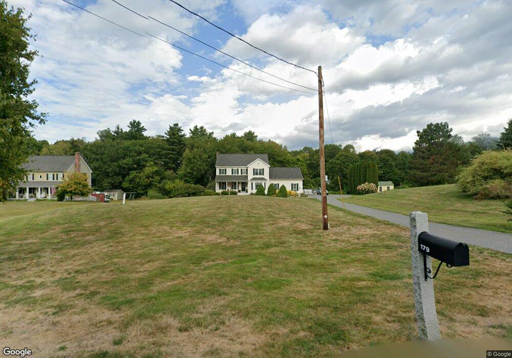
179 Sunnyhill Rd Lunenburg, MA 01462
Estimated Value: $632,856 - $685,000
4
Beds
3
Baths
2,214
Sq Ft
$297/Sq Ft
Est. Value
About This Home
This home is located at 179 Sunnyhill Rd, Lunenburg, MA 01462 and is currently estimated at $656,464, approximately $296 per square foot. 179 Sunnyhill Rd is a home located in Worcester County with nearby schools including Lunenburg Primary School, Lunenburg High School, and St Bernards Elementary School.
Ownership History
Date
Name
Owned For
Owner Type
Purchase Details
Closed on
Mar 8, 2019
Sold by
Anderson Clinton J and Anderson Jennifer L
Bought by
Anderson Lt
Current Estimated Value
Purchase Details
Closed on
Sep 30, 2005
Sold by
Ethel M Tapply Irt and Madge Leslie Sleeper
Bought by
Anderson Clinton J and Anderson Jennifer L
Home Financials for this Owner
Home Financials are based on the most recent Mortgage that was taken out on this home.
Original Mortgage
$346,000
Interest Rate
5.84%
Mortgage Type
Purchase Money Mortgage
Create a Home Valuation Report for This Property
The Home Valuation Report is an in-depth analysis detailing your home's value as well as a comparison with similar homes in the area
Home Values in the Area
Average Home Value in this Area
Purchase History
| Date | Buyer | Sale Price | Title Company |
|---|---|---|---|
| Anderson Lt | -- | -- | |
| Anderson Clinton J | $443,000 | -- |
Source: Public Records
Mortgage History
| Date | Status | Borrower | Loan Amount |
|---|---|---|---|
| Previous Owner | Anderson Clinton J | $346,000 |
Source: Public Records
Tax History Compared to Growth
Tax History
| Year | Tax Paid | Tax Assessment Tax Assessment Total Assessment is a certain percentage of the fair market value that is determined by local assessors to be the total taxable value of land and additions on the property. | Land | Improvement |
|---|---|---|---|---|
| 2025 | $8,099 | $564,000 | $142,600 | $421,400 |
| 2024 | $7,404 | $525,100 | $134,600 | $390,500 |
| 2023 | $7,196 | $492,200 | $122,300 | $369,900 |
| 2022 | $6,917 | $402,400 | $102,000 | $300,400 |
| 2020 | $7,154 | $394,800 | $101,600 | $293,200 |
| 2019 | $6,818 | $365,000 | $95,700 | $269,300 |
| 2018 | $6,970 | $353,800 | $95,100 | $258,700 |
| 2017 | $6,755 | $338,100 | $91,000 | $247,100 |
| 2016 | $6,395 | $326,100 | $86,600 | $239,500 |
| 2015 | $5,780 | $315,500 | $82,200 | $233,300 |
Source: Public Records
Map
Nearby Homes
- 6 Riley Rd Unit 6
- 830 Massachusetts Ave
- 29 West St
- 711 Massachusetts Ave Unit 2
- 9 Fairview Rd
- 31 School St
- 35 Leominster Rd
- 200-365 Hollis Rd
- 77 Electric Ave
- 452 Hollis Rd
- 319 Highland St
- 63 Holman St
- 15 White St
- 44 Hamlin St
- 3 Chase Ave
- 759 Northfield Rd
- 1479 Main St
- 756 Northfield Rd
- 23 Tilton Ave
- 305 Pleasant St
- 173 Sunnyhill Rd
- 187 Sunnyhill Rd
- 176 Sunnyhill Rd
- 168 Sunnyhill Rd
- 163 Sunnyhill Rd
- 186 Sunnyhill Rd
- 202 West St
- 202 Sunnyhill Rd
- 152 Sunnyhill Rd
- 186 West St
- 143 Sunny Hill Rd
- 143 Sunnyhill Rd
- 180 West St
- 230 West St
- 204 Sunnyhill Rd
- 168 West St
- 213 Sunnyhill Rd
- 189 West St
- 317 Sunny Hill Rd
- 255 Sunny Hill Rd