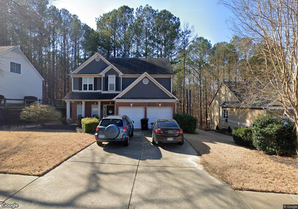
179 Thunder Ridge Dr Unit A Acworth, GA 30101
Cedarcrest NeighborhoodEstimated Value: $359,000 - $432,000
3
Beds
3
Baths
2,011
Sq Ft
$197/Sq Ft
Est. Value
About This Home
This home is located at 179 Thunder Ridge Dr Unit A, Acworth, GA 30101 and is currently estimated at $396,790, approximately $197 per square foot. 179 Thunder Ridge Dr Unit A is a home located in Paulding County with nearby schools including Burnt Hickory Elementary School, Sammy Mcclure Sr. Middle School, and North Paulding High School.
Ownership History
Date
Name
Owned For
Owner Type
Purchase Details
Closed on
May 7, 2002
Sold by
Sacristan Cheryl D
Bought by
Sacristan Cheryl D and Sacristan Mario E
Current Estimated Value
Home Financials for this Owner
Home Financials are based on the most recent Mortgage that was taken out on this home.
Original Mortgage
$128,700
Interest Rate
6.86%
Mortgage Type
New Conventional
Purchase Details
Closed on
Dec 29, 2000
Sold by
Four Star Residential Inc
Bought by
Rea Todd D
Home Financials for this Owner
Home Financials are based on the most recent Mortgage that was taken out on this home.
Original Mortgage
$142,736
Interest Rate
7.65%
Mortgage Type
New Conventional
Create a Home Valuation Report for This Property
The Home Valuation Report is an in-depth analysis detailing your home's value as well as a comparison with similar homes in the area
Home Values in the Area
Average Home Value in this Area
Purchase History
| Date | Buyer | Sale Price | Title Company |
|---|---|---|---|
| Sacristan Cheryl D | -- | -- | |
| Sacristan Cheryl D | $160,900 | -- | |
| Rea Todd D | $150,800 | -- |
Source: Public Records
Mortgage History
| Date | Status | Borrower | Loan Amount |
|---|---|---|---|
| Previous Owner | Sacristan Cheryl D | $128,700 | |
| Previous Owner | Sacristan Cheryl D | $24,100 | |
| Previous Owner | Rea Todd D | $142,736 |
Source: Public Records
Tax History Compared to Growth
Tax History
| Year | Tax Paid | Tax Assessment Tax Assessment Total Assessment is a certain percentage of the fair market value that is determined by local assessors to be the total taxable value of land and additions on the property. | Land | Improvement |
|---|---|---|---|---|
| 2024 | $3,497 | $140,592 | $26,000 | $114,592 |
| 2023 | $3,822 | $146,592 | $26,000 | $120,592 |
| 2022 | $3,337 | $128,020 | $26,000 | $102,020 |
| 2021 | $3,009 | $103,552 | $26,000 | $77,552 |
| 2020 | $2,706 | $91,112 | $26,000 | $65,112 |
| 2019 | $2,647 | $87,860 | $26,000 | $61,860 |
| 2018 | $2,648 | $87,876 | $26,000 | $61,876 |
| 2017 | $2,439 | $79,840 | $26,000 | $53,840 |
| 2016 | $2,475 | $81,840 | $26,000 | $55,840 |
| 2015 | $2,181 | $70,880 | $26,000 | $44,880 |
| 2014 | $2,191 | $69,400 | $26,000 | $43,400 |
| 2013 | -- | $63,400 | $26,000 | $37,400 |
Source: Public Records
Map
Nearby Homes
- 365 Hunt Creek Dr
- 103 Brier Bend Ct Unit D
- 280 Graves Rd
- 139 Thunder Ridge Ln
- 385 Graves Rd
- 102 Silverdale Ln
- 51 Water Oak Dr
- 88 Water Oak Dr
- 197 Hickory Pointe Dr
- 283 Hickory Pointe Dr
- 1039 Lost Creek Pkwy
- 1648 Harmony Grove Church Rd
- 1029 Lost Creek Pkwy
- 174 Timber Creek #176 Ln SW
- 1019 Lost Creek Pkwy
- 1009 Lost Creek Pkwy
- 134 Grove Meadow Dr
- 991 Lost Creek Pkwy
- 994 Lost Creek Pkwy
- 291 Harmony Cir
- 163 Thunder Ridge Dr
- 191 Thunder Ridge Dr Unit 1
- 10 Ivy Mist Ln
- 211 Thunder Ridge Dr
- 145 Thunder Ridge Dr
- 0 Ivey Ln Unit 7124930
- 0 Ivey Ln Unit 7445648
- 0 Ivey Ln Unit 7546527
- 0 Ivey Ln Unit 7596530
- 0 Ivey Ln Unit 8066600
- 0 Ivey Ln Unit 5170953
- 0 Ivey Ln Unit 5532582
- 0 Ivey Ln Unit 5614319
- 0 Ivey Ln Unit 5653402
- 0 Ivey Ln Unit 5745426
- 0 Ivey Ln Unit 8313085
- 0 Ivey Ln Unit 8977632
- 0 Ivey Ln Unit 6958697
- 0 Ivey Ln Unit 9068292
- 0 Ivey Ln Unit 6899186