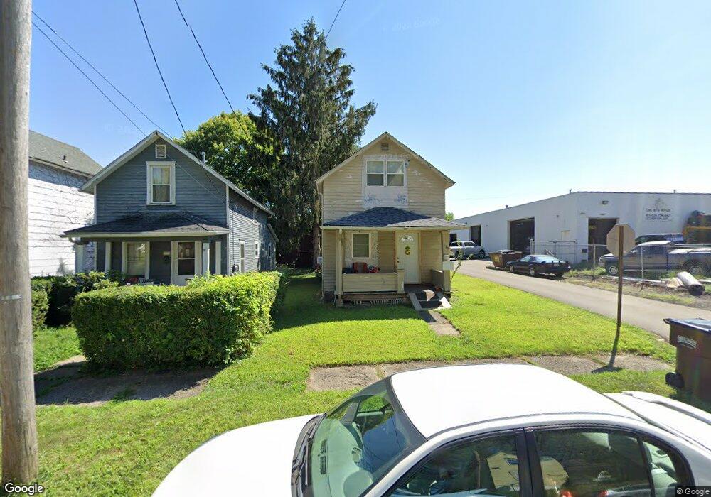
179 Vale Ave Mansfield, OH 44902
Estimated Value: $58,000 - $73,000
2
Beds
1
Bath
1,024
Sq Ft
$64/Sq Ft
Est. Value
About This Home
This home is located at 179 Vale Ave, Mansfield, OH 44902 and is currently estimated at $65,812, approximately $64 per square foot. 179 Vale Ave is a home located in Richland County with nearby schools including Goal Digital Academy, St. Peter's Elementary/Montessori School, and St. Peter's Junior High / High School.
Ownership History
Date
Name
Owned For
Owner Type
Purchase Details
Closed on
Apr 26, 2016
Sold by
3 Roses Property Management Llc
Bought by
Baker Tiffany L and Bishop Brandon S
Current Estimated Value
Purchase Details
Closed on
Jan 22, 2015
Sold by
Willard Rental Properties Llp
Bought by
3 Roses Property Management Llc
Purchase Details
Closed on
Jun 19, 2000
Sold by
Patton Jack G
Bought by
Willard Rental Properties
Purchase Details
Closed on
Apr 19, 2000
Sold by
Valerio Madeline M
Bought by
Patton Jack G and Bettis Edward F
Purchase Details
Closed on
Mar 9, 1993
Bought by
Pack James D Etal 9 Etc
Purchase Details
Closed on
Nov 4, 1992
Sold by
Pack Sylvia M
Bought by
Pack James D Etal 9 Etc
Create a Home Valuation Report for This Property
The Home Valuation Report is an in-depth analysis detailing your home's value as well as a comparison with similar homes in the area
Home Values in the Area
Average Home Value in this Area
Purchase History
| Date | Buyer | Sale Price | Title Company |
|---|---|---|---|
| Baker Tiffany L | $2,900 | Attorney | |
| 3 Roses Property Management Llc | $84,800 | Attorney | |
| Willard Rental Properties | $28,000 | -- | |
| Patton Jack G | $6,900 | -- | |
| Pack James D Etal 9 Etc | $6,900 | -- | |
| Pack James D Etal 9 Etc | -- | -- |
Source: Public Records
Tax History
| Year | Tax Paid | Tax Assessment Tax Assessment Total Assessment is a certain percentage of the fair market value that is determined by local assessors to be the total taxable value of land and additions on the property. | Land | Improvement |
|---|---|---|---|---|
| 2024 | $58 | $1,210 | $470 | $740 |
| 2023 | $58 | $1,210 | $470 | $740 |
| 2022 | $62 | $1,080 | $430 | $650 |
| 2021 | $62 | $1,080 | $430 | $650 |
| 2020 | $64 | $1,080 | $430 | $650 |
| 2019 | $70 | $1,080 | $430 | $650 |
| 2018 | $69 | $1,080 | $430 | $650 |
| 2017 | $439 | $7,010 | $850 | $6,160 |
| 2016 | $466 | $7,220 | $1,350 | $5,870 |
| 2015 | $445 | $7,220 | $1,350 | $5,870 |
| 2014 | $439 | $7,220 | $1,350 | $5,870 |
| 2012 | $354 | $7,600 | $1,420 | $6,180 |
Source: Public Records
Map
Nearby Homes
- 524 Lida St
- 0 Voegele Ave Unit Lot 6048, 6049, 6
- 580 N Mulberry St
- 118 Raymond Ave
- 169 W 5th St
- 362-364 W 6th St
- 368 W 6th St
- 701 Springmill St
- 480 Mcpherson St
- 212 Penn Ave
- 346 Newman St
- 0 Highway 30
- 237 Helen Ave
- 81 Penn Ave
- 230 Rae Ave
- 0 Lot #23128 Unit 9069815
- 572 France St
- 492 Stark St
- 0 State Route 314 Unit 9069650
- 30 Douglas Ave
Your Personal Tour Guide
Ask me questions while you tour the home.