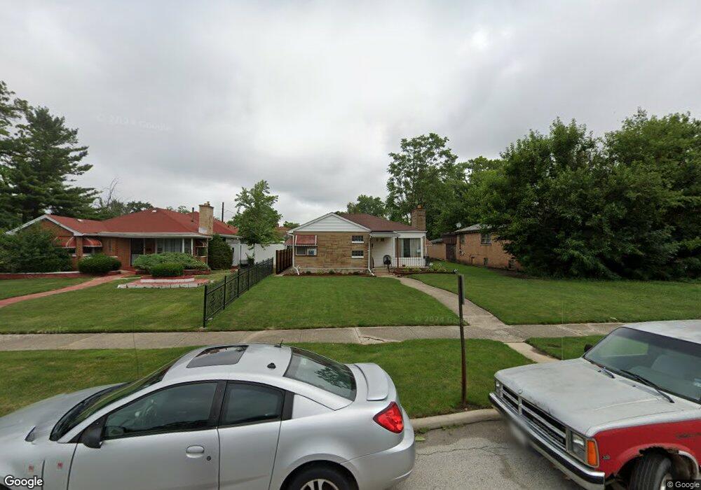
179 W 150th St Harvey, IL 60426
Estimated Value: $110,109 - $132,000
4
Beds
2
Baths
1,375
Sq Ft
$86/Sq Ft
Est. Value
About This Home
This home is located at 179 W 150th St, Harvey, IL 60426 and is currently estimated at $118,277, approximately $86 per square foot. 179 W 150th St is a home located in Cook County with nearby schools including Thornton Township High School and Academic Mastery Academy.
Ownership History
Date
Name
Owned For
Owner Type
Purchase Details
Closed on
Nov 12, 2014
Sold by
Neal Annette and Ford Tyrone
Bought by
Neal Ford Anette
Current Estimated Value
Purchase Details
Closed on
Apr 13, 2005
Sold by
James Samuel
Bought by
Neal Annette
Home Financials for this Owner
Home Financials are based on the most recent Mortgage that was taken out on this home.
Original Mortgage
$89,000
Outstanding Balance
$46,255
Interest Rate
5.89%
Mortgage Type
Fannie Mae Freddie Mac
Estimated Equity
$72,022
Purchase Details
Closed on
Jul 30, 2003
Sold by
Hud
Bought by
James Samuel
Home Financials for this Owner
Home Financials are based on the most recent Mortgage that was taken out on this home.
Original Mortgage
$25,650
Interest Rate
6.33%
Mortgage Type
Unknown
Create a Home Valuation Report for This Property
The Home Valuation Report is an in-depth analysis detailing your home's value as well as a comparison with similar homes in the area
Home Values in the Area
Average Home Value in this Area
Purchase History
| Date | Buyer | Sale Price | Title Company |
|---|---|---|---|
| Neal Ford Anette | -- | None Available | |
| Neal Annette | $89,000 | Ctic | |
| James Samuel | -- | Stewart Title |
Source: Public Records
Mortgage History
| Date | Status | Borrower | Loan Amount |
|---|---|---|---|
| Open | Neal Annette | $89,000 | |
| Previous Owner | James Samuel | $25,650 |
Source: Public Records
Tax History Compared to Growth
Tax History
| Year | Tax Paid | Tax Assessment Tax Assessment Total Assessment is a certain percentage of the fair market value that is determined by local assessors to be the total taxable value of land and additions on the property. | Land | Improvement |
|---|---|---|---|---|
| 2024 | $1,207 | $5,680 | $1,848 | $3,832 |
| 2023 | $662 | $5,680 | $1,848 | $3,832 |
| 2022 | $662 | $4,870 | $1,848 | $3,022 |
| 2021 | $739 | $4,869 | $1,848 | $3,021 |
| 2020 | $942 | $4,869 | $1,848 | $3,021 |
| 2019 | $2,044 | $6,636 | $1,680 | $4,956 |
| 2018 | $1,974 | $6,636 | $1,680 | $4,956 |
| 2017 | $2,369 | $7,119 | $1,680 | $5,439 |
| 2016 | $2,110 | $5,417 | $1,512 | $3,905 |
| 2015 | $2,487 | $6,202 | $1,512 | $4,690 |
| 2014 | $2,512 | $6,202 | $1,512 | $4,690 |
| 2013 | $3,338 | $7,869 | $1,512 | $6,357 |
Source: Public Records
Map
Nearby Homes
- 15012 Seeley Ave
- 147 W 150th St
- 15032 Winchester Ave
- 110 W 150th St
- 14826 Robey Ave
- 15131 Winchester Ave
- 14839 Cooper Ave
- 14924 Leavitt Ave
- 14806 Lincoln Ave
- 14910 S Wood St
- 14911 Page Ave
- 15311 Winchester Ave
- 15321 Winchester Ave
- 15033 Paulina St
- 14727 Wood St
- 15032 Marshfield Ave
- 14901 Western Ave
- 14807 Paulina St
- 14564 Spaulding Ave
- 15422 Lincoln Ave
- 171 W 150th St
- 181 W 150th St
- 181 W 150th St
- 14933 Seeley Ave
- 14929 Seeley Ave
- 14932 Robey Ave
- 14932 Robey Ave
- 14926 Robey Ave
- 14925 Seeley Ave
- 14925 Seeley Ave
- 174 W 150th St
- 174 S 150 Ave
- 168 W 150th St
- 14920 Robey Ave
- 14920 Robey Ave
- 178 W 150th St
- 166 W 150th St
- 14930 Seeley Ave
- 14930 Seeley Ave
- 14926 Seeley Ave