179 Westwood Rd Southington, CT 06489
West Southington NeighborhoodEstimated Value: $532,000 - $691,000
3
Beds
3
Baths
2,048
Sq Ft
$300/Sq Ft
Est. Value
About This Home
This home is located at 179 Westwood Rd, Southington, CT 06489 and is currently estimated at $613,744, approximately $299 per square foot. 179 Westwood Rd is a home located in Hartford County with nearby schools including Reuben E. Thalberg Elementary School, Joseph A. Depaolo Middle School, and Southington High School.
Ownership History
Date
Name
Owned For
Owner Type
Purchase Details
Closed on
Jun 13, 2018
Sold by
Parsons Scot R and Parsons Kristine L
Bought by
Parsons Ret
Current Estimated Value
Purchase Details
Closed on
Jun 20, 1997
Sold by
Jagielski Barbara J
Bought by
Parsons Scot R and Parsons Kristine L
Create a Home Valuation Report for This Property
The Home Valuation Report is an in-depth analysis detailing your home's value as well as a comparison with similar homes in the area
Home Values in the Area
Average Home Value in this Area
Purchase History
| Date | Buyer | Sale Price | Title Company |
|---|---|---|---|
| Parsons Ret | -- | -- | |
| Parsons Scot R | $75,000 | -- |
Source: Public Records
Mortgage History
| Date | Status | Borrower | Loan Amount |
|---|---|---|---|
| Previous Owner | Parsons Scot R | $50,000 |
Source: Public Records
Tax History Compared to Growth
Tax History
| Year | Tax Paid | Tax Assessment Tax Assessment Total Assessment is a certain percentage of the fair market value that is determined by local assessors to be the total taxable value of land and additions on the property. | Land | Improvement |
|---|---|---|---|---|
| 2025 | $9,126 | $274,790 | $85,680 | $189,110 |
| 2024 | $8,639 | $274,790 | $85,680 | $189,110 |
| 2023 | $8,343 | $274,790 | $85,680 | $189,110 |
| 2022 | $8,005 | $274,790 | $85,680 | $189,110 |
| 2021 | $7,977 | $274,790 | $85,680 | $189,110 |
| 2020 | $7,789 | $254,290 | $87,440 | $166,850 |
| 2019 | $7,791 | $254,290 | $87,440 | $166,850 |
| 2018 | $7,751 | $254,290 | $87,440 | $166,850 |
| 2017 | $7,751 | $254,290 | $87,440 | $166,850 |
| 2016 | $7,537 | $254,290 | $87,440 | $166,850 |
| 2015 | $7,684 | $263,700 | $83,270 | $180,430 |
| 2014 | $7,479 | $263,700 | $83,270 | $180,430 |
Source: Public Records
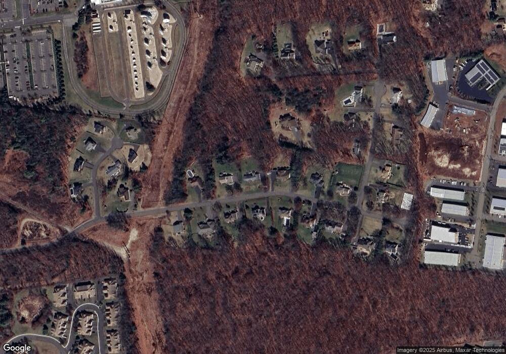
Map
Nearby Homes
- 1985 West St Unit 11
- 1985 West St Unit 9
- 519 Village St
- 575 Village St
- 603 Village St
- 568 Village St
- 581 Village St
- 595 Village St
- 4 Maple Rock Rd
- 27 Brookside Dr
- 16 Brookside Dr
- 21 Julia Rd
- 189 Redstone Hill Rd Unit 7
- 8 Sycamore Rd
- 134 Evelyn Rd
- 1 Brookside Dr
- 2 Charlies Way
- 15 Charlies Way
- 429 Redstone Hill Rd
- 7 Meadow Rd
- 147 Westwood Rd
- 191 Westwood Rd
- 109 Westwood Rd
- 178 Westwood Rd
- 209 Westwood Rd
- 162 Westwood Rd
- 195 Westwood Rd
- 198 Westwood Rd
- 148 Westwood Rd
- 212 Westwood Rd
- 223 Westwood Rd
- 124 Westwood Rd
- 39 Elizabeth Dr
- 53 Elizabeth Dr
- 224 Westwood Rd
- 69 Elizabeth Dr
- 45 Balmoral Dr Unit LOT 6
- 87 Westwood Rd
- 254 West St
- 73 Elizabeth Dr