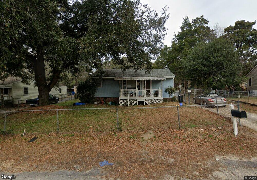
179 Whiteside Cir West Columbia, SC 29169
Estimated Value: $127,000 - $256,199
3
Beds
2
Baths
1,500
Sq Ft
$126/Sq Ft
Est. Value
About This Home
This home is located at 179 Whiteside Cir, West Columbia, SC 29169 and is currently estimated at $188,300, approximately $125 per square foot. 179 Whiteside Cir is a home located in Lexington County with nearby schools including Cayce Elementary, Cyril B. Busbee Creative Arts Academy, and Brookland-Cayce High School.
Ownership History
Date
Name
Owned For
Owner Type
Purchase Details
Closed on
Aug 16, 2024
Sold by
Tuggle Brian E
Bought by
Wjolly Enterprises Llc
Current Estimated Value
Home Financials for this Owner
Home Financials are based on the most recent Mortgage that was taken out on this home.
Original Mortgage
$149,000
Outstanding Balance
$147,340
Interest Rate
6.95%
Mortgage Type
Construction
Estimated Equity
$40,960
Purchase Details
Closed on
Dec 10, 2008
Sold by
The Bank Of New York
Bought by
Tuggle Brian E
Purchase Details
Closed on
Apr 30, 2008
Sold by
Frye Carl Arthur
Bought by
The Bank Of New York
Purchase Details
Closed on
Sep 16, 2005
Sold by
Branham Deborah G and Branham Richard H
Bought by
Frye Carl Arthur
Home Financials for this Owner
Home Financials are based on the most recent Mortgage that was taken out on this home.
Original Mortgage
$72,250
Interest Rate
9.95%
Mortgage Type
Adjustable Rate Mortgage/ARM
Create a Home Valuation Report for This Property
The Home Valuation Report is an in-depth analysis detailing your home's value as well as a comparison with similar homes in the area
Home Values in the Area
Average Home Value in this Area
Purchase History
| Date | Buyer | Sale Price | Title Company |
|---|---|---|---|
| Wjolly Enterprises Llc | $125,000 | None Listed On Document | |
| Tuggle Brian E | $35,000 | -- | |
| The Bank Of New York | $15,000 | -- | |
| Frye Carl Arthur | $85,000 | -- |
Source: Public Records
Mortgage History
| Date | Status | Borrower | Loan Amount |
|---|---|---|---|
| Open | Wjolly Enterprises Llc | $149,000 | |
| Previous Owner | Frye Carl Arthur | $72,250 |
Source: Public Records
Tax History Compared to Growth
Tax History
| Year | Tax Paid | Tax Assessment Tax Assessment Total Assessment is a certain percentage of the fair market value that is determined by local assessors to be the total taxable value of land and additions on the property. | Land | Improvement |
|---|---|---|---|---|
| 2024 | $2,898 | $3,330 | $640 | $2,690 |
| 2023 | $136 | $3,330 | $640 | $2,690 |
| 2022 | $149 | $3,330 | $640 | $2,690 |
| 2020 | $150 | $3,330 | $640 | $2,690 |
| 2019 | $167 | $3,437 | $640 | $2,797 |
| 2018 | $169 | $3,437 | $640 | $2,797 |
| 2017 | $152 | $3,437 | $640 | $2,797 |
| 2016 | $166 | $3,436 | $640 | $2,796 |
| 2014 | $149 | $3,726 | $720 | $3,006 |
| 2013 | -- | $3,730 | $720 | $3,010 |
Source: Public Records
Map
Nearby Homes
- 135 Silver Run Place
- 116 Silver Run Place
- 706 Westside Dr
- 309 Hammond Ave
- 725 Brooks Ave
- 339 Gum Swamp Trail
- 349 Gum Swamp Trail
- 212 Alexandria St
- 2312 Rainbow Dr
- 2405 Rainbow Dr
- 2024 Platt Springs Rd
- 1802 D Ave
- 826 Jefferson St
- 153 Cavendish Dr
- 151 Cavendish Dr
- 157 Cavendish Dr
- 615 Dawn Dr
- 1210 Decatur St
- 215 Sandel Ln
- 1608 Crapps Ave
- 177 Whiteside Cir
- 175 Whiteside Cir
- 183 Whiteside Cir
- 109 Whiteside Cir
- 111 Whiteside Cir
- 180 Whiteside Cir
- 107 Whiteside Cir
- 173 Whiteside Cir
- 113 Whiteside Cir
- 182 Whiteside Cir
- 608 Brooks Ave
- 178 Whiteside Cir
- 184 Whiteside Cir
- 105 Whiteside Cir
- 115 Whiteside Cir
- 171 Whiteside Cir
- 610 Brooks Ave
- 604 Brooks Ave
- 117 Whiteside Cir
- 174 Whiteside Cir