1790 Ariel Dr Unit 10 Otsego, MI 49078
Estimated Value: $349,000 - $424,000
3
Beds
2
Baths
1,700
Sq Ft
$226/Sq Ft
Est. Value
About This Home
This home is located at 1790 Ariel Dr Unit 10, Otsego, MI 49078 and is currently estimated at $384,856, approximately $226 per square foot. 1790 Ariel Dr Unit 10 is a home located in Allegan County with nearby schools including Otsego High School, St. Margaret School, and Otsego Christian Academy.
Ownership History
Date
Name
Owned For
Owner Type
Purchase Details
Closed on
Nov 25, 2009
Sold by
Galloway Eric J
Bought by
Birdsall Linda L
Current Estimated Value
Purchase Details
Closed on
Sep 30, 2003
Sold by
Broadhurst Edwin and Broadhurst Jackie
Bought by
Galloway Kenneth D and Birdsall Linda L
Home Financials for this Owner
Home Financials are based on the most recent Mortgage that was taken out on this home.
Original Mortgage
$121,900
Interest Rate
6.4%
Mortgage Type
Unknown
Create a Home Valuation Report for This Property
The Home Valuation Report is an in-depth analysis detailing your home's value as well as a comparison with similar homes in the area
Home Values in the Area
Average Home Value in this Area
Purchase History
| Date | Buyer | Sale Price | Title Company |
|---|---|---|---|
| Birdsall Linda L | -- | None Available | |
| Galloway Kenneth D | $171,900 | Devon Title Agency |
Source: Public Records
Mortgage History
| Date | Status | Borrower | Loan Amount |
|---|---|---|---|
| Previous Owner | Galloway Kenneth D | $121,900 |
Source: Public Records
Tax History Compared to Growth
Tax History
| Year | Tax Paid | Tax Assessment Tax Assessment Total Assessment is a certain percentage of the fair market value that is determined by local assessors to be the total taxable value of land and additions on the property. | Land | Improvement |
|---|---|---|---|---|
| 2025 | $4,007 | $193,300 | $10,000 | $183,300 |
| 2024 | $3,285 | $188,200 | $9,500 | $178,700 |
| 2023 | $3,345 | $159,000 | $9,500 | $149,500 |
| 2022 | $3,285 | $150,700 | $10,300 | $140,400 |
| 2021 | $3,109 | $148,700 | $10,000 | $138,700 |
| 2020 | $3,063 | $133,300 | $8,800 | $124,500 |
| 2019 | $2,968 | $124,000 | $6,000 | $118,000 |
| 2018 | $2,905 | $109,400 | $6,000 | $103,400 |
| 2017 | $0 | $101,500 | $5,500 | $96,000 |
| 2016 | $0 | $91,200 | $5,500 | $85,700 |
| 2015 | -- | $91,200 | $5,500 | $85,700 |
| 2014 | $2,642 | $103,100 | $5,500 | $97,600 |
| 2013 | $2,642 | $100,600 | $6,300 | $94,300 |
Source: Public Records
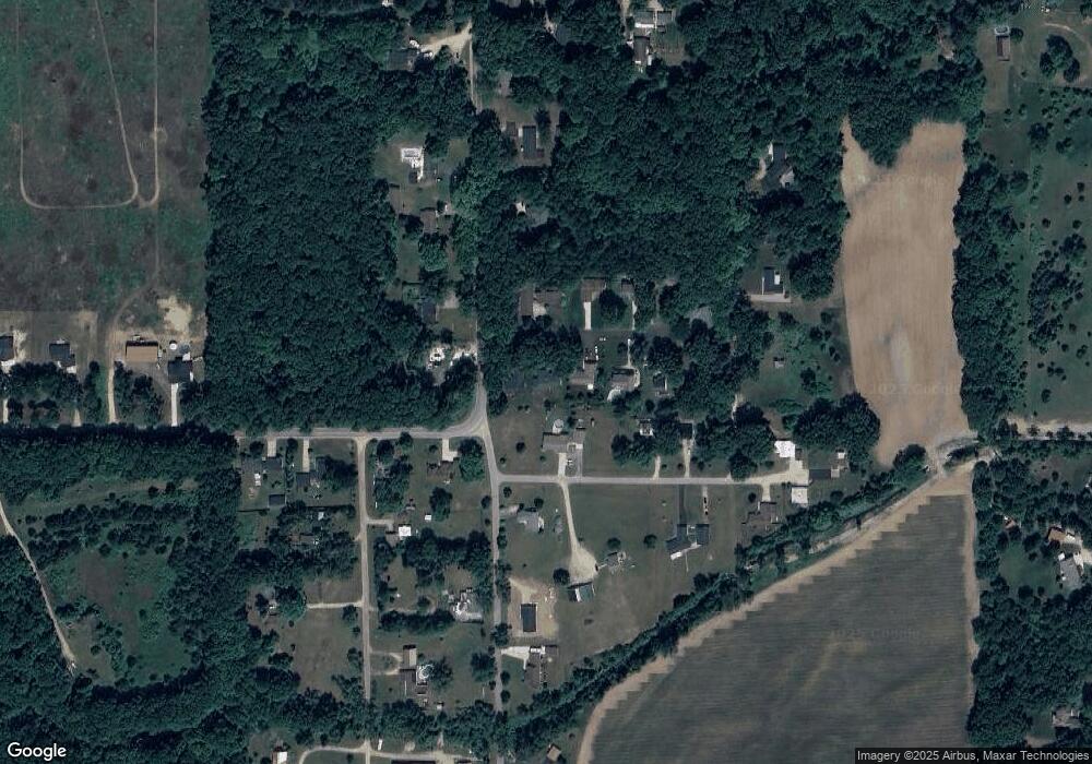
Map
Nearby Homes
- 0 Briarwood St Unit 25002251
- 602 Lincoln Rd
- 624 Nicholson St
- 1651 Aspen Trail
- 1643 Aspen Trail
- 1647 Aspen Trail
- 365 W Orleans St
- 1635 Aspen Trail
- 233 W Hammond St
- 346 W Orleans St
- Elements 1870 Plan at Southpointe Trails
- Integrity 1605 Plan at Southpointe Trails
- Elements 2070 Plan at Southpointe Trails
- Integrity 2000 Plan at Southpointe Trails
- Elements 1680 Plan at Southpointe Trails
- integrity 2280 Plan at Southpointe Trails
- Integrity 1910 Plan at Southpointe Trails
- integrity 1800 Plan at Southpointe Trails
- Integrity 2061 V8.1a Plan at Southpointe Trails
- Elements 2390 Plan at Southpointe Trails
- 1794 Ariel Dr Unit 11
- 1786 Ariel Dr Unit 9
- 1782 Ariel Dr
- 1795 Fairway Ln
- 1793 Ariel Dr
- 1787 Ariel Dr
- 1787 Fairway Ln
- 0 Prairiewood Dr
- 12 Fairway Ln
- 1778 Ariel Dr Unit 7
- 1783 Ariel Dr Unit 3
- 1802 104th Ave
- 414 18th St
- 1779 Ariel Dr
- 1774 Ariel Dr Unit 6
- 387 Prairiewood Dr
- 429 18th St
- 1775 Ariel Dr Unit 5
- 1810 104th Ave
- 426 18th St