1790 Brookside Lay Cir Norcross, GA 30093
Estimated Value: $257,176 - $288,000
3
Beds
3
Baths
1,292
Sq Ft
$210/Sq Ft
Est. Value
About This Home
This home is located at 1790 Brookside Lay Cir, Norcross, GA 30093 and is currently estimated at $271,544, approximately $210 per square foot. 1790 Brookside Lay Cir is a home located in Gwinnett County with nearby schools including Graves Elementary School, Louise Radloff Middle School, and Meadowcreek High School.
Ownership History
Date
Name
Owned For
Owner Type
Purchase Details
Closed on
Jul 19, 2013
Sold by
Brookside Commons Llc
Bought by
Sotalei Tarik
Current Estimated Value
Home Financials for this Owner
Home Financials are based on the most recent Mortgage that was taken out on this home.
Original Mortgage
$81,675
Outstanding Balance
$59,106
Interest Rate
3.96%
Mortgage Type
New Conventional
Estimated Equity
$212,438
Create a Home Valuation Report for This Property
The Home Valuation Report is an in-depth analysis detailing your home's value as well as a comparison with similar homes in the area
Home Values in the Area
Average Home Value in this Area
Purchase History
| Date | Buyer | Sale Price | Title Company |
|---|---|---|---|
| Sotalei Tarik | $109,300 | -- |
Source: Public Records
Mortgage History
| Date | Status | Borrower | Loan Amount |
|---|---|---|---|
| Open | Sotalei Tarik | $81,675 |
Source: Public Records
Tax History Compared to Growth
Tax History
| Year | Tax Paid | Tax Assessment Tax Assessment Total Assessment is a certain percentage of the fair market value that is determined by local assessors to be the total taxable value of land and additions on the property. | Land | Improvement |
|---|---|---|---|---|
| 2025 | $3,754 | $106,480 | $14,000 | $92,480 |
| 2024 | $3,857 | $108,280 | $14,000 | $94,280 |
| 2023 | $3,857 | $105,640 | $22,000 | $83,640 |
| 2022 | $3,143 | $87,760 | $12,400 | $75,360 |
| 2021 | $2,649 | $72,360 | $12,400 | $59,960 |
| 2020 | $2,667 | $72,360 | $12,400 | $59,960 |
| 2019 | $2,385 | $67,240 | $12,400 | $54,840 |
| 2018 | $2,140 | $59,960 | $12,400 | $47,560 |
| 2016 | $1,969 | $55,240 | $9,600 | $45,640 |
| 2015 | $1,583 | $43,720 | $8,400 | $35,320 |
| 2014 | -- | $43,720 | $8,400 | $35,320 |
Source: Public Records
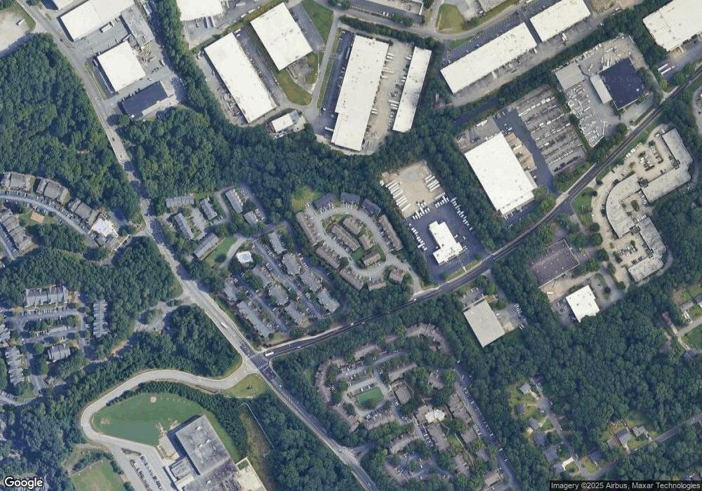
Map
Nearby Homes
- 1797 Brookside Lay Cir
- 1763 Brookside Lay Cir
- 805 Olde Mill Ln
- 6636 Witherington Ct NW
- 6668 E Windsor Ln
- 6636 Witherington Ct
- 6658 Witherington Ct NW
- 6630 Witherington Ct Unit 601
- 6711 Colchester Place
- 6715 Colchester Place
- 6419 Danbury Ln
- 6718 Colchester Place Unit 205
- 6716 Colchester Place
- 843 Seasons Pkwy
- 1035 Seasons Pkwy Unit 1035
- 6606 Wellington Square
- 1596 Village Dr
- 6622 Wellington Square
- 1576 Village Dr
- 1561 Danbury Dr
- 1792 Brookside Lay Cir
- 1786 Brookside Lay Cir
- 1784 Brookside Lay Cir
- 1784 Brookside Lay Cir Unit 56
- 1722 Brookside Lay Cir
- 1730 Brookside Lay Cir
- 1730 Brookside Lay Cir Unit 62
- 1720 Brookside Lay Cir
- 1782 Brookside Lay Cir
- 1732 Brookside Lay Cir
- 1718 Brookside Lay Cir
- 1734 Brookside Lay Cir Unit 60
- 1780 Brookside Lay Cir
- 1780 Brookside Lay Cirlce Cir
- 1736 Brookside Lay Cir
- 1736 Brookside Lay Cir Unit 1736
- 1808 Brookside Lay Cir
- 1810 Brookside Lay Cir
- 1787 Brookside Lay Cir
- 1785 Brookside Lay Cir Unit 16