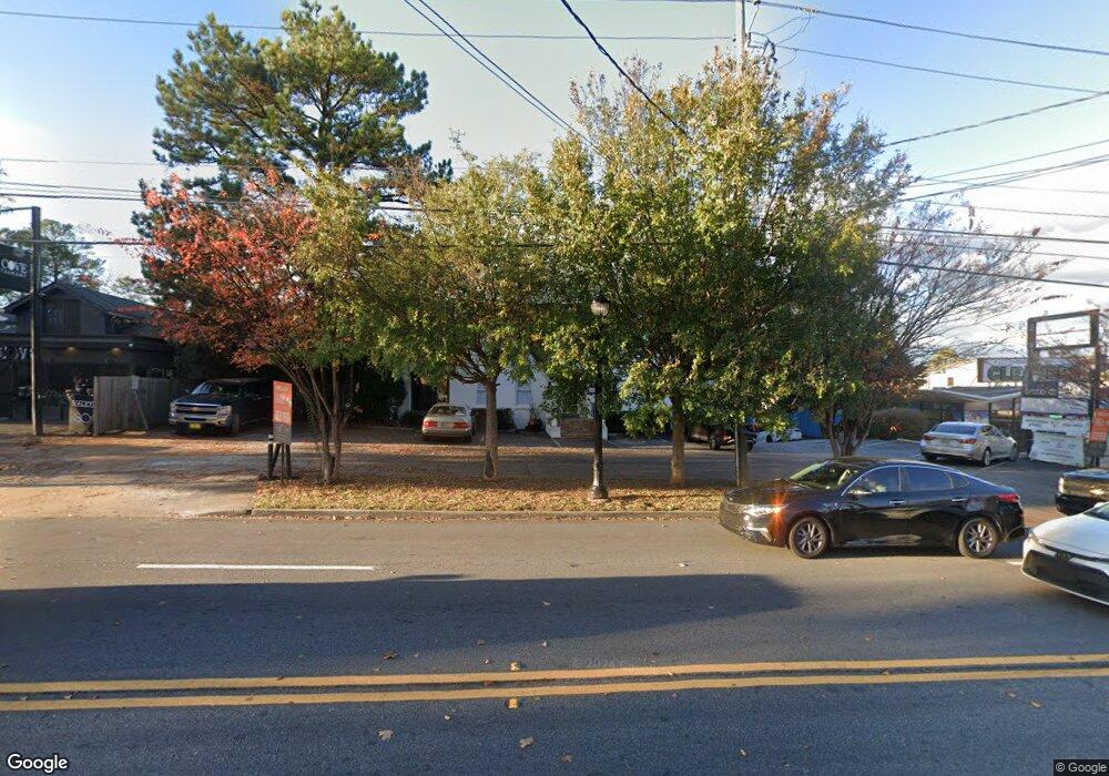
1790 Cheshire Bridge Rd NE Atlanta, GA 30324
Morningside NeighborhoodEstimated Value: $1,340,634 - $1,590,000
--
Bed
--
Bath
6,469
Sq Ft
$223/Sq Ft
Est. Value
About This Home
This home is located at 1790 Cheshire Bridge Rd NE, Atlanta, GA 30324 and is currently estimated at $1,442,545, approximately $222 per square foot. 1790 Cheshire Bridge Rd NE is a home located in Fulton County with nearby schools including Morningside Elementary School, Midtown High School, and Carlisle Montessori School of Buckhead.
Ownership History
Date
Name
Owned For
Owner Type
Purchase Details
Closed on
Aug 18, 2017
Bought by
Lee Atlanta Properties Llc
Current Estimated Value
Purchase Details
Closed on
Nov 15, 2002
Sold by
Barreto Jose A
Bought by
Barrsant Corp
Home Financials for this Owner
Home Financials are based on the most recent Mortgage that was taken out on this home.
Original Mortgage
$109,500
Interest Rate
5.98%
Mortgage Type
New Conventional
Create a Home Valuation Report for This Property
The Home Valuation Report is an in-depth analysis detailing your home's value as well as a comparison with similar homes in the area
Home Values in the Area
Average Home Value in this Area
Purchase History
| Date | Buyer | Sale Price | Title Company |
|---|---|---|---|
| Lee Atlanta Properties Llc | $1,055,000 | -- | |
| Barrsant Corp | -- | -- |
Source: Public Records
Mortgage History
| Date | Status | Borrower | Loan Amount |
|---|---|---|---|
| Previous Owner | Barrsant Corp | $109,500 |
Source: Public Records
Tax History Compared to Growth
Tax History
| Year | Tax Paid | Tax Assessment Tax Assessment Total Assessment is a certain percentage of the fair market value that is determined by local assessors to be the total taxable value of land and additions on the property. | Land | Improvement |
|---|---|---|---|---|
| 2025 | $15,072 | $535,080 | $370,960 | $164,120 |
| 2023 | $19,561 | $472,480 | $370,960 | $101,520 |
| 2022 | $19,121 | $472,480 | $370,960 | $101,520 |
| 2021 | $19,140 | $472,480 | $370,960 | $101,520 |
| 2020 | $19,356 | $472,480 | $370,960 | $101,520 |
| 2019 | $2,002 | $422,000 | $310,600 | $111,400 |
| 2018 | $17,471 | $422,000 | $310,600 | $111,400 |
| 2017 | $18,226 | $504,000 | $370,960 | $133,040 |
| 2016 | $17,294 | $399,400 | $370,960 | $28,440 |
| 2015 | $18,067 | $399,400 | $370,960 | $28,440 |
| 2014 | $18,109 | $399,400 | $370,960 | $28,440 |
Source: Public Records
Map
Nearby Homes
- 2013 Rockledge Rd NE
- 2022 Manchester St NE
- 2026 Manchester St NE
- 618 NE Morning Glory Place NE
- 1764 Morningtide Ln NE
- 705 Bismark Rd NE
- 518 Bismark Rd NE
- 2057 Manchester St NE
- 1905 Windemere Dr NE
- 2057 Telfair Cir NE
- 2079 Manchester St NE
- 2067 Telfair Cir NE Unit A&B
- 2067 Telfair Cir NE Unit A&B
- 558 Bismark Rd NE
- 2188 Niles Place NE
- 1990 Wellbourne Drive Northeast #7 Dr NE Unit 7
- 1990 Wellbourne Dr NE Unit 7
- 1960 Wellbourne Dr NE
- 2196 Niles Place NE
- 512 Morningtide Way NE
- 1996 Manchester St NE
- 508 Morningtide Way NE
- 511 Morningtide Way NE
- 504 Morningtide Way NE
- 507 Morningtide Way NE
- 507 Morningtide Way NE Unit 35
- 2000 Manchester St NE
- 500 Morningtide Way NE
- 503 Morningtide Way NE
- 503 Morningtide Way NE
- 503 Morningtide Way NE Unit 34
- 1755 Manchester St NE
- 1993 Rockledge Rd NE Unit 30
- 1993 Rockledge Rd NE
- 1708 Morningtide Ln NE Unit 46
- 1708 Morningtide Ln NE Unit 46
- 1712 Morningtide Ln NE Unit 47
- 1700 Morningtide Ln NE Unit 44
- 1720 Morningtide Ln NE