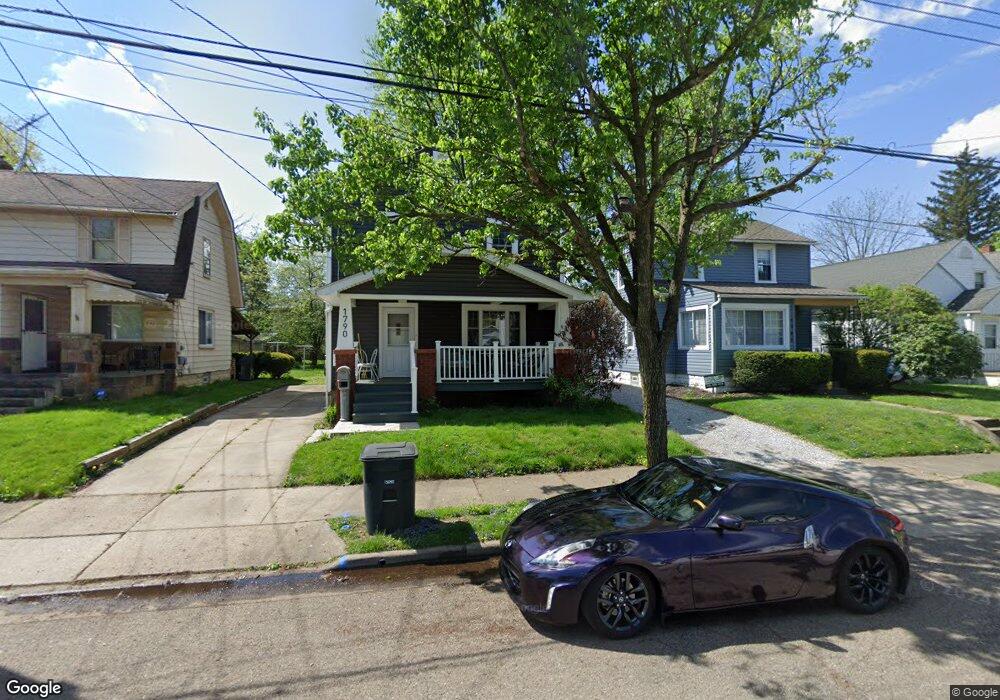
1790 Flint Ave Akron, OH 44305
Goodyear Heights NeighborhoodEstimated Value: $112,000 - $119,000
2
Beds
1
Bath
1,144
Sq Ft
$101/Sq Ft
Est. Value
About This Home
This home is located at 1790 Flint Ave, Akron, OH 44305 and is currently estimated at $115,746, approximately $101 per square foot. 1790 Flint Ave is a home located in Summit County with nearby schools including Seiberling Community Learning Center, Akron Preparatory school, and Middlebury Academy.
Ownership History
Date
Name
Owned For
Owner Type
Purchase Details
Closed on
Dec 23, 2005
Sold by
Taylor Sue Ellen and Taylor Lexie Dale
Bought by
Logsdon Lucas Michael
Current Estimated Value
Home Financials for this Owner
Home Financials are based on the most recent Mortgage that was taken out on this home.
Original Mortgage
$49,735
Outstanding Balance
$28,140
Interest Rate
6.48%
Mortgage Type
FHA
Estimated Equity
$87,606
Purchase Details
Closed on
Jun 14, 2005
Sold by
Estate Of Elizabeth D Culp
Bought by
Taylor Sue Ellen and Logsdon Carol
Create a Home Valuation Report for This Property
The Home Valuation Report is an in-depth analysis detailing your home's value as well as a comparison with similar homes in the area
Home Values in the Area
Average Home Value in this Area
Purchase History
| Date | Buyer | Sale Price | Title Company |
|---|---|---|---|
| Logsdon Lucas Michael | $64,000 | Land America-Lawyers Title | |
| Taylor Sue Ellen | -- | -- |
Source: Public Records
Mortgage History
| Date | Status | Borrower | Loan Amount |
|---|---|---|---|
| Open | Logsdon Lucas Michael | $49,735 |
Source: Public Records
Tax History
| Year | Tax Paid | Tax Assessment Tax Assessment Total Assessment is a certain percentage of the fair market value that is determined by local assessors to be the total taxable value of land and additions on the property. | Land | Improvement |
|---|---|---|---|---|
| 2024 | $1,645 | $30,685 | $6,759 | $23,926 |
| 2023 | $1,645 | $30,685 | $6,759 | $23,926 |
| 2022 | $1,439 | $20,962 | $4,568 | $16,394 |
| 2021 | $1,441 | $20,962 | $4,568 | $16,394 |
| 2020 | $1,419 | $20,960 | $4,570 | $16,390 |
| 2019 | $1,361 | $18,220 | $4,760 | $13,460 |
| 2018 | $1,343 | $18,220 | $4,760 | $13,460 |
| 2017 | $1,364 | $18,220 | $4,760 | $13,460 |
| 2016 | $1,366 | $18,220 | $4,760 | $13,460 |
| 2015 | $1,364 | $18,220 | $4,760 | $13,460 |
| 2014 | $1,354 | $18,220 | $4,760 | $13,460 |
| 2013 | $1,309 | $17,960 | $4,760 | $13,200 |
Source: Public Records
Map
Nearby Homes
- 1837 Marks Ave
- 1874 Adelaide Blvd
- 1551 Preston Ave
- 153 Cutler Pkwy
- 167 Pioneer St
- 1581 Hillside Terrace
- 1578 Pilgrim St
- 248 Malacca St
- 1591 Pilgrim St
- 20 Verdun Dr
- 111 Akers Ave
- 291 Malacca St
- 82 Detroit St
- 295 Goodview Ave
- 1442 Hillside Terrace
- 310 Vaniman St
- 1438 Newton St
- 1991-1993 Congo St
- 349/351, 353/355 Cluster Ave
- 320 Para Ave
Your Personal Tour Guide
Ask me questions while you tour the home.