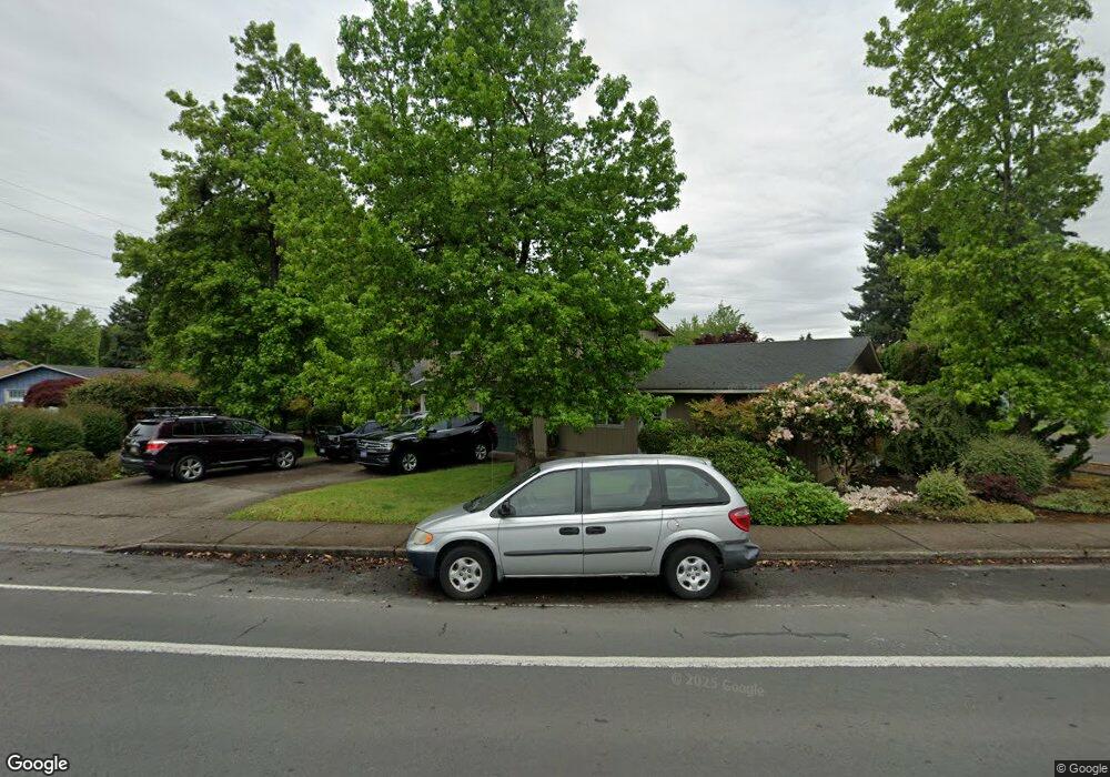
1790 Norkenzie Rd Eugene, OR 97401
Cal Young NeighborhoodEstimated Value: $569,000 - $632,000
6
Beds
4
Baths
2,360
Sq Ft
$254/Sq Ft
Est. Value
About This Home
This home is located at 1790 Norkenzie Rd, Eugene, OR 97401 and is currently estimated at $599,208, approximately $253 per square foot. 1790 Norkenzie Rd is a home located in Lane County with nearby schools including Willagillespie Elementary School, Cal Young Middle School, and Sheldon High School.
Ownership History
Date
Name
Owned For
Owner Type
Purchase Details
Closed on
Oct 8, 2019
Sold by
Bula Investments Llc
Bought by
Lulu S Properties Llc
Current Estimated Value
Purchase Details
Closed on
Jan 25, 2018
Sold by
Braaten Elliott B and Braaten Lori D
Bought by
Bula Investments Llc
Purchase Details
Closed on
Jan 11, 2018
Sold by
Braaten Elliott B and Braaten Lori D
Bought by
Bula Investments Llc
Purchase Details
Closed on
May 6, 2011
Sold by
Lewis Joe L and Lewis Phyllis D
Bought by
Braaten Elliott B and Braaten Lori D
Home Financials for this Owner
Home Financials are based on the most recent Mortgage that was taken out on this home.
Original Mortgage
$225,000
Interest Rate
4.77%
Mortgage Type
Seller Take Back
Create a Home Valuation Report for This Property
The Home Valuation Report is an in-depth analysis detailing your home's value as well as a comparison with similar homes in the area
Home Values in the Area
Average Home Value in this Area
Purchase History
| Date | Buyer | Sale Price | Title Company |
|---|---|---|---|
| Lulu S Properties Llc | -- | None Available | |
| Bula Investments Llc | -- | None Listed On Document | |
| Bula Investments Llc | -- | None Available | |
| Braaten Elliott B | $250,000 | First American Title |
Source: Public Records
Mortgage History
| Date | Status | Borrower | Loan Amount |
|---|---|---|---|
| Previous Owner | Braaten Elliott B | $225,000 |
Source: Public Records
Tax History
| Year | Tax Paid | Tax Assessment Tax Assessment Total Assessment is a certain percentage of the fair market value that is determined by local assessors to be the total taxable value of land and additions on the property. | Land | Improvement |
|---|---|---|---|---|
| 2025 | $5,790 | $297,190 | -- | -- |
| 2024 | $5,718 | $288,534 | -- | -- |
| 2023 | $5,718 | $280,131 | -- | -- |
| 2022 | $5,357 | $271,972 | $0 | $0 |
| 2021 | $5,032 | $264,051 | $0 | $0 |
| 2020 | $5,049 | $256,361 | $0 | $0 |
| 2019 | $4,877 | $248,895 | $0 | $0 |
| 2018 | $4,590 | $234,608 | $0 | $0 |
| 2017 | $4,385 | $234,608 | $0 | $0 |
| 2016 | $4,183 | $227,775 | $0 | $0 |
| 2015 | $4,037 | $221,141 | $0 | $0 |
| 2014 | $4,069 | $214,700 | $0 | $0 |
Source: Public Records
Map
Nearby Homes
- 1810 Minda Dr
- 1625 Monterey Ln
- 1901 Minda Dr
- 1332 Jeppesen Ave
- 2291 Norkenzie Rd
- 1500 Norkenzie Rd Unit 12
- 1943 Monterey Ln
- 0 Piper Ln Unit Lot 1
- 0 Piper Ln Unit Lot 3
- 0 Piper Ln Unit Lot 2
- 0 Piper Ln Unit Lot 5
- 2280 Tabor St
- 0 Cal Young Rd Unit Lot 4
- 1697 Elanco Ave
- 1521 Gilham Rd
- 1328 Spyglass Dr
- 2281 Ridgeway Dr
- 2132 Willona Dr
- 2134 Willona Dr
- 1165 Skylark Ln
- 1580 Jeppesen Ave
- 2261 Jeppesen Ave Unit 1702
- 2505 Jeppesen Ave
- 1780 Norkenzie Rd
- 1595 Jeppesen Ave
- 1597 Jeppesen Ave
- 1815 Norkenzie Rd
- 1560 Jeppesen Ave
- 1577 Jeppesen Ave
- 1760 Norkenzie Rd
- 1706 Minda Dr
- 1708 Minda Dr
- 1835 Norkenzie Rd
- 1704 Minda Dr
- 1710 Minda Dr
- 1880 Norkenzie Rd
- 1555 Jeppesen Ave
- 1712 Minda Dr
- 1702 Minda Dr
- 1701 Minda Dr
Your Personal Tour Guide
Ask me questions while you tour the home.