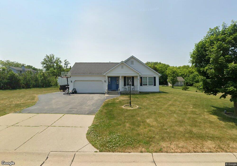
1790 Shumann Dr Union Grove, WI 53182
Estimated Value: $422,000 - $440,000
3
Beds
2
Baths
1,801
Sq Ft
$241/Sq Ft
Est. Value
About This Home
This home is located at 1790 Shumann Dr, Union Grove, WI 53182 and is currently estimated at $433,462, approximately $240 per square foot. 1790 Shumann Dr is a home located in Racine County with nearby schools including Union Grove Elementary School, Union Grove High School, and Union Grove Christian School.
Ownership History
Date
Name
Owned For
Owner Type
Purchase Details
Closed on
Feb 17, 2006
Sold by
Union Grove Ventures Llc
Bought by
Wetter John H and Wetter Susan M
Current Estimated Value
Home Financials for this Owner
Home Financials are based on the most recent Mortgage that was taken out on this home.
Original Mortgage
$213,903
Interest Rate
5.75%
Mortgage Type
Construction
Create a Home Valuation Report for This Property
The Home Valuation Report is an in-depth analysis detailing your home's value as well as a comparison with similar homes in the area
Home Values in the Area
Average Home Value in this Area
Purchase History
| Date | Buyer | Sale Price | Title Company |
|---|---|---|---|
| Wetter John H | $260,900 | -- |
Source: Public Records
Mortgage History
| Date | Status | Borrower | Loan Amount |
|---|---|---|---|
| Previous Owner | Wetter John H | $213,903 |
Source: Public Records
Tax History Compared to Growth
Tax History
| Year | Tax Paid | Tax Assessment Tax Assessment Total Assessment is a certain percentage of the fair market value that is determined by local assessors to be the total taxable value of land and additions on the property. | Land | Improvement |
|---|---|---|---|---|
| 2024 | $5,321 | $327,700 | $58,500 | $269,200 |
| 2023 | $5,299 | $327,700 | $58,500 | $269,200 |
| 2022 | $5,556 | $327,700 | $58,500 | $269,200 |
| 2021 | $5,211 | $327,700 | $58,500 | $269,200 |
| 2020 | $5,612 | $280,500 | $53,500 | $227,000 |
| 2019 | $5,766 | $280,500 | $53,500 | $227,000 |
| 2018 | $5,682 | $287,900 | $53,500 | $234,400 |
| 2017 | $5,164 | $248,100 | $67,000 | $181,100 |
| 2016 | $5,166 | $248,100 | $67,000 | $181,100 |
| 2015 | $5,496 | $248,100 | $67,000 | $181,100 |
| 2014 | $5,408 | $248,100 | $67,000 | $181,100 |
| 2013 | $5,640 | $248,100 | $67,000 | $181,100 |
Source: Public Records
Map
Nearby Homes
- 406 Oakhurst Ave
- 1311 Highview Ave
- Lt0 Durand Ave
- 1362 Vine St
- 1344 Vine St
- 163 11th Ave
- 1041 Bluebird Ln
- 290 Pheasant Run
- 1030 Main St
- 1027 Main St
- 1221 W Kiddle Ln
- 1020 Main St
- 102 Walnut Ridge Dr Unit 20
- 927 State St
- 305 York St
- 319 York St Unit Lt64
- 91 York St
- 85 York St
- 1072 5th Ave
- 544 Kiddle Ln
- 1778 Shumann Dr
- 410 18th Ave
- 420 18th Ave
- 1783 Shumann Dr
- 1772 Shumann Dr
- 430 18th Ave
- 1795 Shumann Dr
- 1775 Shumann Dr
- 440 18th Ave
- 390 18th Ave
- 1760 Shumann Dr
- 1767 Shumann Dr
- 450 18th Ave
- 1942 Cheshire Dr
- 1942 Cheshire Dr Unit 1942
- 411 18th Ave
- 421 18th Ave
- 1801 Shumann Dr
- 1930 Cheshire Dr Unit 1930
- 1966 Cheshire Dr