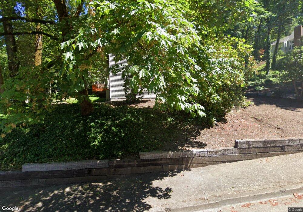
17900 Westview Dr Lake Oswego, OR 97034
Palisades NeighborhoodEstimated Value: $842,000 - $1,118,000
3
Beds
2
Baths
1,960
Sq Ft
$469/Sq Ft
Est. Value
About This Home
This home is located at 17900 Westview Dr, Lake Oswego, OR 97034 and is currently estimated at $918,414, approximately $468 per square foot. 17900 Westview Dr is a home located in Clackamas County with nearby schools including Lakeridge Middle School, Lakeridge High School, and The Children's Hour Academy.
Ownership History
Date
Name
Owned For
Owner Type
Purchase Details
Closed on
Jan 31, 2008
Sold by
Merritt Ann
Bought by
Thesing Mark Richard
Current Estimated Value
Home Financials for this Owner
Home Financials are based on the most recent Mortgage that was taken out on this home.
Original Mortgage
$332,000
Outstanding Balance
$208,799
Interest Rate
6.09%
Mortgage Type
Purchase Money Mortgage
Estimated Equity
$709,615
Purchase Details
Closed on
Dec 29, 2004
Sold by
Rydholm Joan E
Bought by
Rydholm Joan E and Joan E Rydholm Trust
Create a Home Valuation Report for This Property
The Home Valuation Report is an in-depth analysis detailing your home's value as well as a comparison with similar homes in the area
Home Values in the Area
Average Home Value in this Area
Purchase History
| Date | Buyer | Sale Price | Title Company |
|---|---|---|---|
| Thesing Mark Richard | $415,000 | Pacific Nw Title | |
| Rydholm Joan E | -- | -- |
Source: Public Records
Mortgage History
| Date | Status | Borrower | Loan Amount |
|---|---|---|---|
| Open | Thesing Mark Richard | $332,000 |
Source: Public Records
Tax History Compared to Growth
Tax History
| Year | Tax Paid | Tax Assessment Tax Assessment Total Assessment is a certain percentage of the fair market value that is determined by local assessors to be the total taxable value of land and additions on the property. | Land | Improvement |
|---|---|---|---|---|
| 2025 | $8,578 | $447,657 | -- | -- |
| 2024 | $8,349 | $434,619 | -- | -- |
| 2023 | $8,349 | $421,961 | $0 | $0 |
| 2022 | $7,864 | $409,671 | $0 | $0 |
| 2021 | $7,262 | $397,739 | $0 | $0 |
| 2020 | $7,080 | $386,155 | $0 | $0 |
| 2019 | $6,906 | $374,908 | $0 | $0 |
| 2018 | $6,567 | $363,988 | $0 | $0 |
| 2017 | $6,336 | $353,386 | $0 | $0 |
| 2016 | $5,768 | $343,093 | $0 | $0 |
| 2015 | $5,380 | $333,100 | $0 | $0 |
| 2014 | $5,217 | $323,398 | $0 | $0 |
Source: Public Records
Map
Nearby Homes
- 17677 Westview Dr
- 12 Dover Way
- 18300 Bryant Rd
- 2306 Mayors Ln
- 3220 Southshore Blvd
- 17035 Westview Dr
- 18815 Hilltop Rd
- 17210 Cedar Rd
- 18706 Bryant Rd
- 2627 Park Rd
- 18100 Bryant Rd
- 4023 Melissa Dr
- 17810 Sarah Hill Ln
- 17367 Canal Cir
- 4123 Chad Dr
- 1799 Atherton Dr
- 16636 Maple Cir
- 16878 Canyon Dr
- 4224 Haven St
- 2255 Glen Haven Rd
- 2972 Vale Ct
- 18006 Gimley Ct
- 17851 Westview Dr
- 18010 Gimley Ct
- 2981 Vale Ct
- 17841 Westview Dr
- 3010 Royce Way
- 2931 Vale Ct
- 17834 Westview Dr
- 18018 Gimley Ct
- 18034 Westview Dr
- 2888 Vale Ct
- 3040 Royce Way
- 18028 Gimley Ct
- 18020 Gimley Ct
- 18024 Gimley Ct
- 18014 Gimley Ct
- 2875 Vale Ct
- 17820 Westview Dr
- 3070 Royce Way