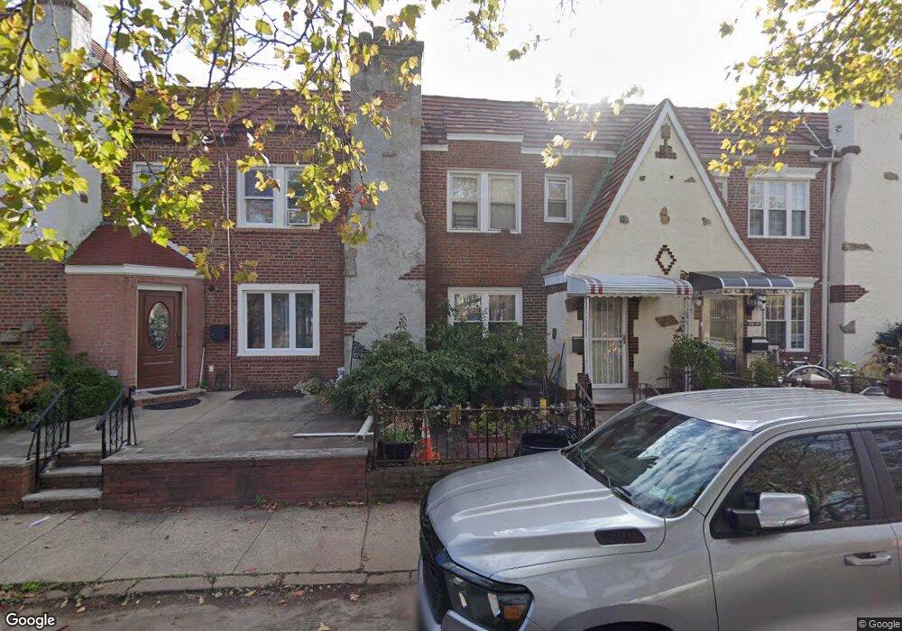
17902 Leslie Rd Jamaica, NY 11434
Saint Albans NeighborhoodEstimated Value: $624,423 - $769,000
--
Bed
--
Bath
1,440
Sq Ft
$498/Sq Ft
Est. Value
About This Home
This home is located at 17902 Leslie Rd, Jamaica, NY 11434 and is currently estimated at $716,856, approximately $497 per square foot. 17902 Leslie Rd is a home located in Queens County with nearby schools including The Jermaine L. Green STEM Institute of Queens, Catherine & Count Basie Middle School 72, and Riverton Street Charter School.
Ownership History
Date
Name
Owned For
Owner Type
Purchase Details
Closed on
Oct 30, 2013
Sold by
Hill Robert J
Bought by
Boston Carol K and Boston Sheldon
Current Estimated Value
Home Financials for this Owner
Home Financials are based on the most recent Mortgage that was taken out on this home.
Original Mortgage
$308,000
Outstanding Balance
$230,237
Interest Rate
4.29%
Mortgage Type
New Conventional
Estimated Equity
$486,619
Create a Home Valuation Report for This Property
The Home Valuation Report is an in-depth analysis detailing your home's value as well as a comparison with similar homes in the area
Home Values in the Area
Average Home Value in this Area
Purchase History
| Date | Buyer | Sale Price | Title Company |
|---|---|---|---|
| Boston Carol K | $385,000 | -- |
Source: Public Records
Mortgage History
| Date | Status | Borrower | Loan Amount |
|---|---|---|---|
| Open | Boston Carol K | $308,000 |
Source: Public Records
Tax History Compared to Growth
Tax History
| Year | Tax Paid | Tax Assessment Tax Assessment Total Assessment is a certain percentage of the fair market value that is determined by local assessors to be the total taxable value of land and additions on the property. | Land | Improvement |
|---|---|---|---|---|
| 2025 | $5,067 | $28,228 | $8,572 | $19,656 |
| 2024 | $5,079 | $26,630 | $7,653 | $18,977 |
| 2023 | $5,067 | $26,630 | $8,477 | $18,153 |
| 2022 | $4,879 | $32,340 | $11,880 | $20,460 |
| 2021 | $4,850 | $26,820 | $11,880 | $14,940 |
| 2020 | $4,683 | $29,460 | $11,880 | $17,580 |
| 2019 | $4,349 | $32,100 | $11,880 | $20,220 |
| 2018 | $4,226 | $22,192 | $8,633 | $13,559 |
| 2017 | $4,096 | $21,565 | $11,509 | $10,056 |
| 2016 | $3,763 | $21,565 | $11,509 | $10,056 |
| 2015 | $2,100 | $19,603 | $10,648 | $8,955 |
| 2014 | $2,100 | $18,494 | $11,026 | $7,468 |
Source: Public Records
Map
Nearby Homes
- 179-01 120th Ave
- 17955 Anderson Rd
- 179-50 Anderson Rd
- 178-10 Leslie Rd
- 11984 178th Place
- 17918 Selover Rd
- 179-47 Zoller Rd
- 119-72 178th St
- 119-48 178th St
- 17720 Leslie Rd
- 17710 Troutville Rd
- 17715 Troutville Rd
- 17915 Eveleth Rd
- 17911 Eveleth Rd
- 12811 Harry Douglass Way
- 178-20 Selover Rd
- 176-27 Sunbury Rd
- 11819 179th St
- 178-26 Zoller Rd
- 188-51 120th Rd
- 17904 Leslie Rd
- 17868 Leslie Rd
- 17906 Leslie Rd
- 17906 Leslie Rd
- 17866 Leslie Rd
- 178-66 Leslie Rd
- 179-06 Leslie Rd
- 17908 Leslie Rd
- 17864 Leslie Rd
- 179-02 Leslie Rd
- 17910 Leslie Rd
- 17862 Leslie Rd
- 17862 Leslie Rd
- 17912 Leslie Rd
- 17979 Selover Rd
- 17860 Leslie Rd
- 17860 Leslie Rd
- 17981 Selover Rd
- 179-12 Leslie Rd
- 17977 Selover Rd