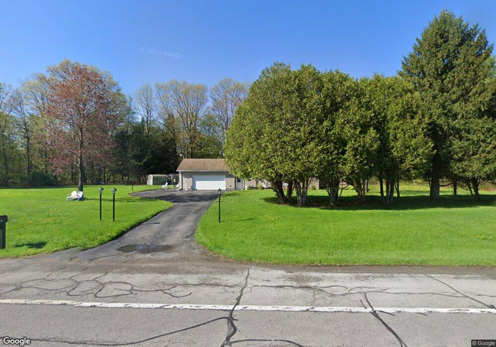
17902 State Route 12e Dexter, NY 13634
Estimated Value: $249,000 - $260,000
3
Beds
2
Baths
1,444
Sq Ft
$175/Sq Ft
Est. Value
About This Home
This home is located at 17902 State Route 12e, Dexter, NY 13634 and is currently estimated at $253,255, approximately $175 per square foot. 17902 State Route 12e is a home with nearby schools including General Brown Junior/Senior High School.
Ownership History
Date
Name
Owned For
Owner Type
Purchase Details
Closed on
Oct 5, 2021
Sold by
Eddy Michael W
Bought by
Keggins Jon and Keggins Julie
Current Estimated Value
Home Financials for this Owner
Home Financials are based on the most recent Mortgage that was taken out on this home.
Original Mortgage
$128,000
Outstanding Balance
$116,724
Interest Rate
2.8%
Mortgage Type
Purchase Money Mortgage
Estimated Equity
$136,531
Create a Home Valuation Report for This Property
The Home Valuation Report is an in-depth analysis detailing your home's value as well as a comparison with similar homes in the area
Home Values in the Area
Average Home Value in this Area
Purchase History
| Date | Buyer | Sale Price | Title Company |
|---|---|---|---|
| Keggins Jon | $218,000 | None Available |
Source: Public Records
Mortgage History
| Date | Status | Borrower | Loan Amount |
|---|---|---|---|
| Open | Keggins Jon | $128,000 |
Source: Public Records
Tax History Compared to Growth
Tax History
| Year | Tax Paid | Tax Assessment Tax Assessment Total Assessment is a certain percentage of the fair market value that is determined by local assessors to be the total taxable value of land and additions on the property. | Land | Improvement |
|---|---|---|---|---|
| 2024 | $3,314 | $143,000 | $23,200 | $119,800 |
| 2023 | $3,330 | $143,000 | $23,200 | $119,800 |
| 2022 | $3,205 | $143,000 | $23,200 | $119,800 |
| 2021 | $3,146 | $143,000 | $23,200 | $119,800 |
| 2020 | $3,150 | $143,000 | $23,200 | $119,800 |
| 2019 | $2,475 | $143,000 | $23,200 | $119,800 |
| 2018 | $2,475 | $143,000 | $23,200 | $119,800 |
| 2017 | $2,749 | $143,000 | $23,200 | $119,800 |
| 2016 | $2,714 | $143,000 | $23,200 | $119,800 |
| 2015 | -- | $91,500 | $15,500 | $76,000 |
| 2014 | -- | $91,500 | $15,500 | $76,000 |
Source: Public Records
Map
Nearby Homes
- 118 Patrician Ln
- 115 Patrician Ln
- 214 E Bronson St
- 219-221 W Main St
- 109 St Lawrence Ave W
- 104 Brown Rd
- 24142 County Route 54
- 107 W Kirby St
- 0 Bonney Rd Unit S1642943
- 220 Water St
- 305 Washington St
- 205 Pike St
- 213 Pike St
- 218 E Main St
- 15764 Maynard Ave S
- 0 Evans Rd
- 16744 Thompson Trail Dr
- 20009 State Route 12f
- 17467 Evans Rd
- 15625 Foster Park Rd
- 23563 Turkey Hollow Dr
- 23523 Turkey Hollow Dr
- 23430 Turkey Hollow Dr
- 23431 Turkey Hollow Dr
- 18182 State Route 12e
- 23500 Clark Dr
- 23660 Clark Dr
- 23543 Clark Dr
- 23389 Turkey Hollow Dr
- 17719 State Route 12e
- 18206 State Route 12e
- 23487 Clark Dr
- 23445 Clark Dr
- 23617 Clark Dr
- 18236 State Route 12e
- 23651 Clark Dr
- 18252 State Route 12e
- 18252 State Route 12e
- 18284 State Route 12e
- 17670 Cemetery Rd