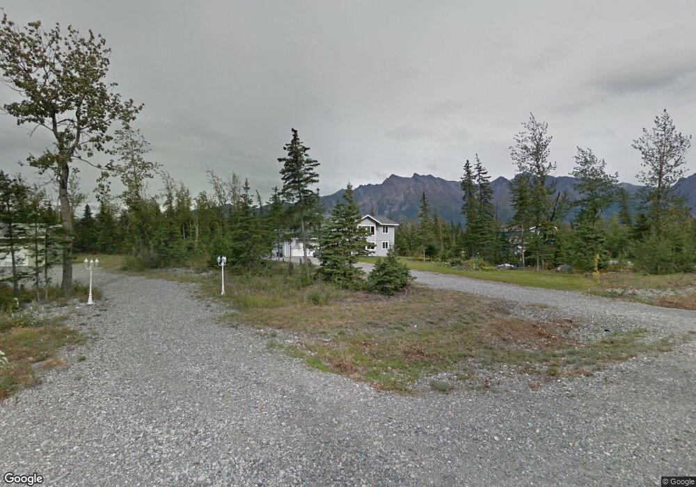
17905 E Connie Kay Cir Palmer, AK 99645
Butte NeighborhoodEstimated Value: $208,000 - $490,000
3
Beds
3
Baths
2,252
Sq Ft
$162/Sq Ft
Est. Value
About This Home
This home is located at 17905 E Connie Kay Cir, Palmer, AK 99645 and is currently estimated at $364,776, approximately $161 per square foot. 17905 E Connie Kay Cir is a home located in Matanuska-Susitna Borough with nearby schools including Butte Elementary School, Palmer High School, and Palmer Middle School.
Ownership History
Date
Name
Owned For
Owner Type
Purchase Details
Closed on
Oct 3, 2012
Sold by
Purdy Leah A and Darbonne Leah A
Bought by
Purdy Adams Cott and Purdy Leah A
Current Estimated Value
Home Financials for this Owner
Home Financials are based on the most recent Mortgage that was taken out on this home.
Original Mortgage
$191,625
Outstanding Balance
$133,442
Interest Rate
3.63%
Mortgage Type
New Conventional
Estimated Equity
$231,334
Purchase Details
Closed on
Mar 13, 2012
Sold by
Darbonne Brandon K
Bought by
Purdy Leah A and Darbonne Leah A
Purchase Details
Closed on
Apr 10, 2007
Sold by
Steve Orr Construction Llc
Bought by
Darbonne Brandon K and Darbonne Leah A
Home Financials for this Owner
Home Financials are based on the most recent Mortgage that was taken out on this home.
Original Mortgage
$171,156
Interest Rate
6.13%
Mortgage Type
Purchase Money Mortgage
Create a Home Valuation Report for This Property
The Home Valuation Report is an in-depth analysis detailing your home's value as well as a comparison with similar homes in the area
Home Values in the Area
Average Home Value in this Area
Purchase History
| Date | Buyer | Sale Price | Title Company |
|---|---|---|---|
| Purdy Adams Cott | -- | None Available | |
| Purdy Leah A | -- | None Available | |
| Darbonne Brandon K | -- | Mat Su Title Ins Agency Inc |
Source: Public Records
Mortgage History
| Date | Status | Borrower | Loan Amount |
|---|---|---|---|
| Open | Purdy Adams Cott | $191,625 | |
| Closed | Darbonne Brandon K | $171,156 |
Source: Public Records
Tax History
| Year | Tax Paid | Tax Assessment Tax Assessment Total Assessment is a certain percentage of the fair market value that is determined by local assessors to be the total taxable value of land and additions on the property. | Land | Improvement |
|---|---|---|---|---|
| 2025 | $5,802 | $406,200 | $37,000 | $369,200 |
| 2024 | $5,802 | $391,200 | $37,000 | $354,200 |
| 2023 | $5,550 | $378,500 | $37,000 | $341,500 |
| 2022 | $5,185 | $331,200 | $24,000 | $307,200 |
| 2021 | $5,078 | $294,300 | $24,000 | $270,300 |
| 2020 | $4,875 | $275,200 | $24,000 | $251,200 |
| 2019 | $4,761 | $266,900 | $24,000 | $242,900 |
| 2018 | $4,729 | $266,300 | $24,000 | $242,300 |
| 2017 | $4,658 | $262,300 | $24,000 | $238,300 |
| 2016 | $4,521 | $260,000 | $24,000 | $236,000 |
| 2015 | $3,928 | $250,100 | $24,000 | $226,100 |
| 2014 | $3,928 | $242,300 | $24,000 | $218,300 |
Source: Public Records
Map
Nearby Homes
- 4053 S Aurora View Cir
- 3805 S Juanita Way
- 16500 E Marilyn Dr
- 5250 S Old Glenn Hwy
- 5098 S Revere St
- 15125 E Washington Blvd
- 15148 E Washington Blvd
- 5313 S Sisters St
- 6003 S Gates St
- 14761 E Washington Blvd
- 5809 S Gates St
- 15270 E Peaceful Ln
- L10 E Mountain Vista Dr
- L7 E Mountain Vista Dr
- L10 B2 N Springer Cir
- 132 N Springer Cir
- L1 B2 N Springer Cir
- 265 N Tatlow Dr
- 506 N Hale Cir
- 1188 S Mary St
- 17941 E Connie Kay Cir
- 17877 E Connie Kay Cir
- 17900 E Pine Needle Way
- 17857 E Connie Kay Cir
- 17930 E Pine Needle Way
- 17940 E Connie Kay Cir
- 17860 E Pine Needle Way
- 17858 E Connie Kay Cir
- 18006 E Pine Needle Way
- 17935 E Pine Needle Way
- 4400 S Caudill Rd
- 17865 E Pine Needle Way
- 18054 E Pine Needle Way
- L18 B1 E Pine Needle Way
- L16 B1 E Pine Needle Way
- L20 B1 E Pine Needle Way
- L19 B1 E Pine Needle Way
- 4728 S Caudill Rd
- 18005 E Pine Needle Way
- 4583 S Butte Airman Rd
Your Personal Tour Guide
Ask me questions while you tour the home.